A Summer Escape
Article in partnership with The Wenatchee World. Forty for Forty: Recognizing the 40th Anniversary of the Chelan-Douglas Land Trust with 40 stories about lands the Land Trust has protected and kept open for public access.
The scorching summer temperatures of Central Washington are energy sappers and motivation zappers. They prompt many to head for the cool of a basement, an ice cream parlor, or a movie theater. A more active and healthier alternative, however, is to head for the cool of the ‘high’ foothills because the air cools 3 to 4 degrees Fahrenheit per thousand feet of elevation gained.
From Wenatchee, the foothills slopes confining Number One Canyon, Number Two Canyon, and Twin Peaks can look like hills. But they are most certainly big hills. They tower 3,000 to 4,000 vertical feet above the Columbia River, which means on a summer’s day when temperatures hit the mid-90s downtown, temperatures in the high foothills might be a pleasant 75 to 80 degrees. In addition, much of the walking in the high foothills is through shaded forests, providing a two-for-one bonus for ‘getting high.’
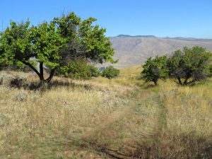
One of the easiest but busiest routes in our high foothills follows the non-motorized National Forest spur road (NF 500) about 3.25 miles to the summit of Twin Peaks (aka Horse Lake Mountain). An equally scenic, more adventurous, and considerably quieter strategy is to wander the slopes farther north leading to the summit of Peak 3,789, creatively named for its elevation. The initial 2.5 miles of the outing follow grassy ranching roads through the Horse Lake Reserve owned and managed by the Chelan-Douglas Land Trust (CDLT). In the early 1900s, these were winter-wheat fields tended by early homesteaders. The route passes the part-time pond of Horse Lake, which is dry in summer but still teems with plant life and, therefore, bird life. Then into forests of Douglas firs and ponderosa pines you plunge as you follow trails and old forest roads that have narrowed as vegetation reclaims the road bed.
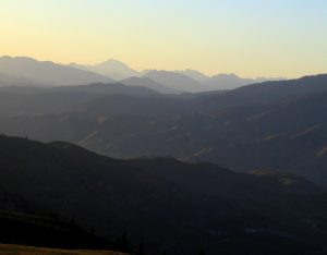
Eventually the route wanders to the broad and scenic summit of Peak 3,789 where you can peer down the steep slopes funneling into Number One Canyon, across the Columbia River at the Waterville Plateau, over the foothills flanking Cashmere, and upward to the high Cascades.
On a hot day, you may not want to leave the cooler air of this perch, but eventually the descent will call. Being perhaps a wee bit tired from the climb, the wandering way will seem long. Both your feet and the air temperature will heat up as you pound the trail downward. But all of this is good news – by the time you reach the car, the weary legs will understand that you may have climbed up a hill, but it was surely a mountain you descended.
Details: Beating the Heat – A Summer Escape
Access. From the north end of Wenatchee, drive Horse Lake Road until the paved road turns to gravel. From here, follow the well-maintained dirt road roughly 2.75 miles uphill until the road is blocked by a gate at the entrance to the Horse Lake Reserve. Park here on the edge of the road, being mindful to leave room for other cars to turn around.
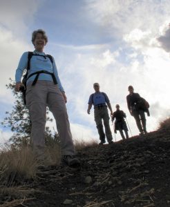
Trip Instructions.
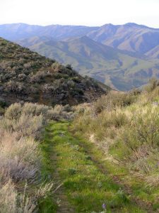
–Walk around the gate blocking the road and follow the gravel ranch road for 0.4 miles until it forks.Take the left fork onto a grassy, double-track road that climbs more steeply. Follow this grassy road (called the Old Ranch Road) and stay on it for the next 2.2 miles as it winds upward, passes a brushy dried-up pond (Horse Lake), climbs more steeply past an old orchard with a dozen apricot trees, and enters forested terrain.
–Several hundred yards after entering forested terrain, look for the sign on your right marking the entrance to the Upper Apricot Crisp Trail. Turn off the Old Ranch Road onto the trail, which is shaded and winds upward at a gentle grade for the next 0.7 miles before reaching a gated wider road. Turn left on this road and follow it for 1.5 miles up to Peak 3,789 (see map).
–Return by retracing the ascent. Note: There is little signage along the route, so pay attention and look backwards on the ascent, especially at intersections. The inattentive hiker will find it easy to wander off course on the return.
Maps. This Land Trust map will help hikers along most of the route. The topographic map from CalTopo illustrates the entire route with more geographic and topographic details.
Total Distance: 9.75 miles round trip
Elevation Gain: 2,000 vertical feet.
Land Ownership. The outing is primarily on property owned and managed by the Chelan-Douglas Land Trust but finishes on Forest Service lands.
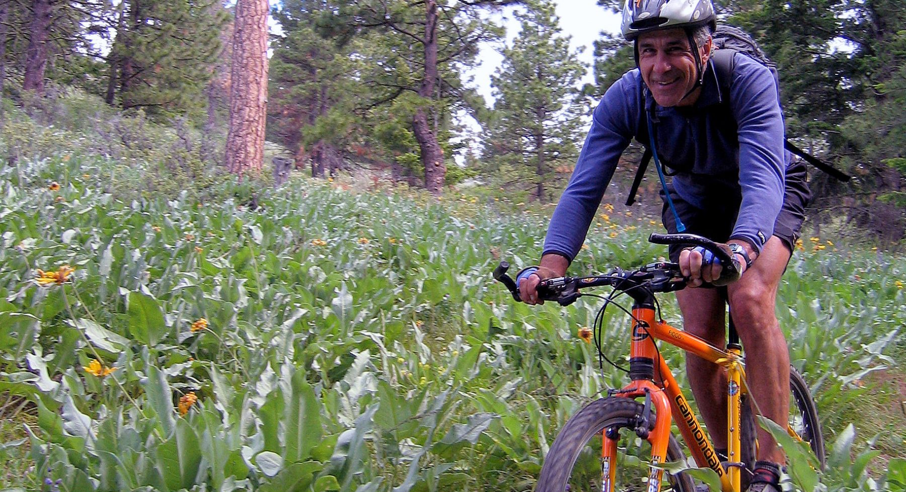
Allowed: Hiking, trail running, mountain biking, horseback riding, dogs on leash (scoop their poop).
Not Allowed: No motorized use, no off-trail travel, no plant collecting, no littering, no hunting or shooting, and no camping or campfires.
Important. Visitors traveling off-trail or on faint social trails is the biggest maintenance issue faced by our land agencies and trail managers. Please stay on the main trails.
