.JPG)
We received this email from John Marshall describing a thigh-burning road ride in the Entiat River environs that was perfect for testing your fitness and getting the heart pumping.
“I do not consider myself to be a bicyclist, but I see hill climbing as concentrated exercise. Lately, I have gotten into riding a cross bike up the streets in the Eagle Rock neighborhood. Having done that, I decided I was up for something more challenging. I had always been struck by Forest Service road 5700 as it pulls up out of the Mad River Canyon in the Entiat. It is steep as heck, but it is also paved. So steep I figured that only a twenty-year-old athlete could do it. Then Peter Bauer told me he did it on a two ring cycle, and I ran into another guy, Charlie Cooper, who does it regularly. Charlie is a retired guy living up the Entiat. So, I decided that if those guys could do it, so could I.”
There are two primary methods of taming this mad dog. The first is to start from the Pine Flats area on the Mad River, parking either at the Mad River Trailhead/Pine Flats Campground (permit required) or parking for free at a nearby pullout. If the nearly 1500 foot climb from that point isn’t enough for you, a second option is to park in Entiat at the city park or the interpretive pullout on your left slightly after turning onto the Entiat River Road.
Maps. For a large overview map of the route from Entiat to McKenzie Saddle, view Map 1. For a closer, more detailed map of the route from Mad River to McKenzie Saddle, view Map 2. Note: Use ‘Print Preview’ to orient/scale the map before printing.
Activity: Biking (on a road bike or cross bike).
Nearest Town: Ardenvoir, Entiat.
Skill: 2 (intermediate)
Fitness: 2+ (advanced intermediate)
Distance: About 6.4 miles round-trip from Pine Flats Campground or 34 miles round-trip from Entiat.
Elevation Gain: About 1400 vertical feet (from Pine Flats) or 2500 feet (from Entiat).
Best Seasons: Early spring through late fall, preferably when the mercury isn’t climbing too high.
Access. If you are starting from Pine Flats, follow Highway 97 to Entiat, then take the Entiat Valley Road about 10 miles to just beyond Ardenvoir where you’ll turn left onto Mad River Road No. 5700. About 2 miles from the turn, you’ll reach a fork in the road. Continue straight on Road 5700–the other option forks left across a bridge and onto a gravel road. Continue on 5700 until you reach Pine Flats Campground in another 2 miles. A permit is required to park here or at the nearby Mad River Trailhead, but you can also find a nearby pullout along the road and park for free if you don’t have permit. If starting from Entiat is your choice, drive Highway 97 to Entiat, turning onto Entiat River Road. Shortly after the junction there is a pullout on the left side that makes for a good place to park that is both free and legal.
 Trip Instructions. If you started from Entiat, pedal about 10 miles upriver to Ardenvoir and turn left (west) onto Mad River Road No. 5700. Go straight on this arterial and follow it four miles to Pine Flats Campground.
If you are starting from the Pine Flats area, follow the paved Forest Road 5700 uphill. At around 2 miles, reach a junction with Forest Road 5701. Stay left on FR 5700. About 0.75 miles later, ignore Forest Road 5703 and continue right on FR 5700. Finally come to a complex road junction at McKenzie Saddle at around 17 miles from Entiat (3.2 miles from Pine Flats). Enjoy the view and revel in your two-wheeled achievement.
Fees/Permits. A Northwest Forest Pass is required to park at Pine Flats Campground/Mad River Trailhead. No permit is required to park in Entiat or in pullouts near Pine Flats Campground.
Reporter. John Marshall, August 2013.
Leave It Better than You Found It. This should be every user’s goal. Do no damage and pick up trash left by others.

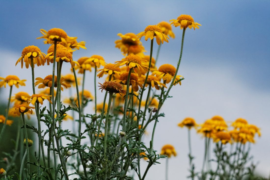
Photo Left: This is not the view from this ride, but it may be what your hallucinations look like after the dizzying climb.
Disclaimer. Treat this information as recommendations, not gospel. Conditions change and those contributing these reports are volunteers–they may make mistakes or not know all the issues affecting a route. You are responsible for yourself, your actions, and your safety. If you won’t accept that responsibility, you are prohibited from using our information.


