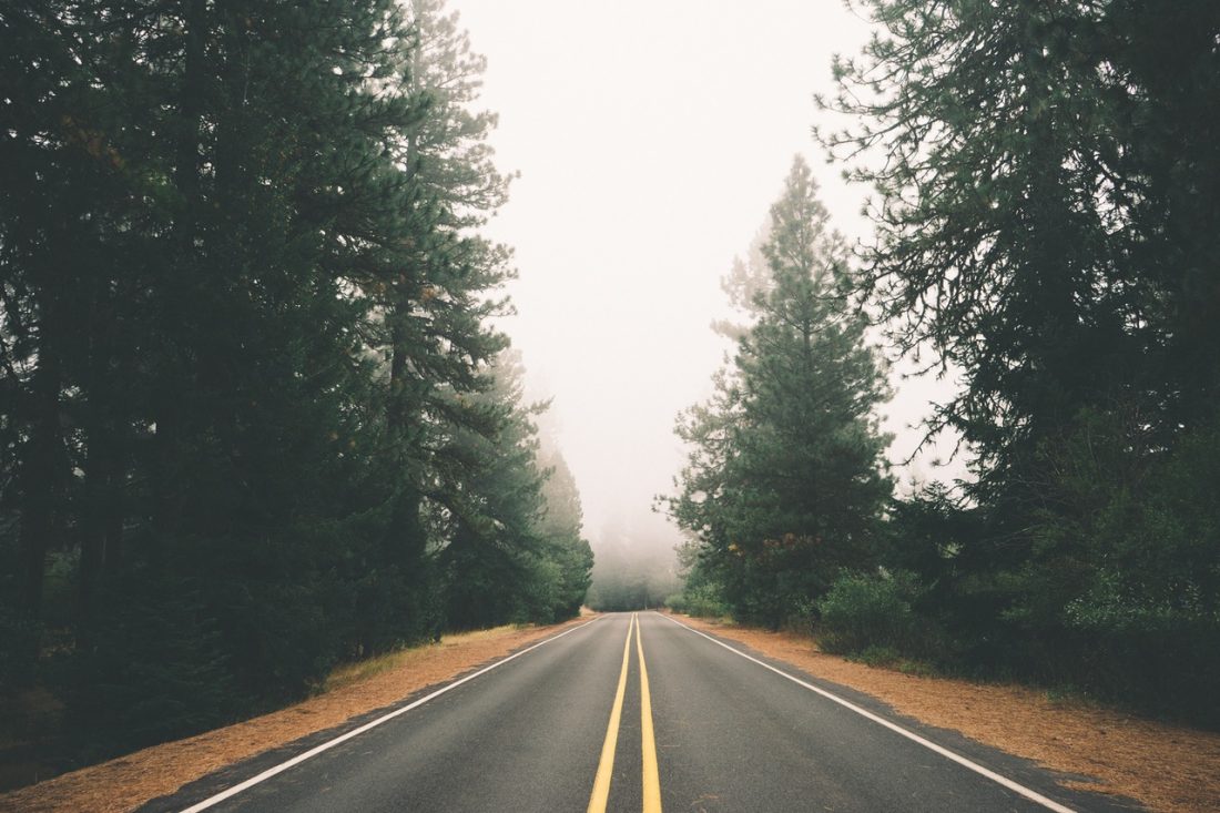

ATTRACTIONS. A scenic road ride through the Lake Wenatchee environs with views of the eastside Cascadian peaks, relatively little traffic, and very little climbing. Parts of the ride feature salmon spawning in late summer (late August through September) and brilliant foliage in fall (first three weeks of October).
SKILL: 1 (beginner).
FITNESS:1 (easy).
DISTANCE. Varies from 13 to 25 miles depending on where you park.
ELEVATION. The North Shore Road has short hills. The White River Road is very flat.
ACCESS:
- Drive west on Highway 2 from Leavenworth about 14 miles to Cole’s Corner (Milepost 84.7) and turn left onto Highway 207. Set your odometer to zero here.
- Mile 4.4: The road forks–stay left to keep on the Lake Wenatchee Highway.
- Mile 5.4: The North Shore Road (also signed for the YMCA camp) splits off on the left side of the road. This is where you start if you want to do a longer ride. Turn onto the North Shore Road and find a place to park on the shoulder of the road.
- Mile 10.6: If you want to do a shorter ride, follow the Lake Wenatchee Highway to this mile marker. Here the White River Road splits off to the right. Turn onto the White River Road and find a wide place to park along the shoulder.
TRIP INSTRUCTIONS:
If you’re doing the longer ride:
- Ride the length of the North Shore Road (4.75 miles).
- When the road ends at stop sign, turn left onto the Lake Wenatchee Highway and follow it for 1 mile. The highway is usually not very busy and has a reasonable shoulder. Nonetheless, cars drive fast along here, so this is not a good road for young children who might weave out into the main traffic lane.
- After 1 mile turn right onto the White River Road and join the shorter ride.
If you’re doing the shorter ride:
- Follow the White River Road on your bike. There is very little traffic and, because the road has lots of potholes and patches, the traffic you do encounter is driving slow.
- Mile 2.5 along this road: You’ll pass a bridge on your left (a good place to dismount and look up and down the river). Don’t cross the bridge — instead, follow the paved road that keeps going straight up the river.
- Mile 6.5: You’ll reach the bridge crossing the Napeequa River (you’re by Tall Timbers Camp now). The pavement ends just past the bridge. If you have wide tires (e.g., mountain bikes) you can ride the road another 3.75 miles to its end where there are hiking trails heading up the White River and a nice bridge across the river for views. If you have skinny tires (road bikes), the Napequa Bridge is the turn-around point.
The return trip retraces the same route.
Editor’s Note: From late August to early October, stop and check some of the pools in the river for salmon. Salmon are usually visible spawning in these waters that aren’t too swift and that have good gravels on the river bottom.
MAP. See map below for more information.
LAND OWNERSHIP. A combination of state highways and county roads. All the roads are paved to the points described. The road up the White River is not in good shape (lots of potholes and patches) but has little traffic and, scenically, is well worth riding.
PERMITS. None needed.
CONS / HAZARDS. In early and mid summer there can be a lot mosquitoes on this ride. The bugs are not a problem when you’re moving, but can make stops unpleasant. Bring bug repellent.
TRIP REPORTER. Andy Dappen, 10/14/2006
LEAVE IT BETTER THAN YOU FOUND IT. This should be every user’s goal. Pick up trash left by others, pull noxious weeds along your route, throw branches over unwanted spur trails…
DISCLAIMER. Treat this information as recommendations, not gospel. Conditions change and those contributing these reports are volunteers–they may make mistakes or not know all the issues affecting a route. You are responsible for yourself, your actions, and your safety. If you won’t accept that responsibility, you are prohibited from using our information.

