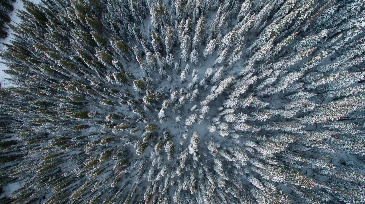
 Attractions: A remote portion of the Cascades in winter with a variety of skiable peaks including Pyramid, Skidgravel, and Cardinal peaks. These peaks are a long way from a plowed road but offer relatively friendly terrain for ski ascents and descents.
Activity: Backcountry skiing or ski touring
Nearest Town: Entiat
Skill Level: 3=advanced
Fitness Level: 3=advanced
Distance: Without a snowmobile assist, the distance from the Entiat Sno-Park to the top of Pyramid Peak is about 23 miles one-way. If you get a snowmobile assist up the snowed-over road to the start of North Fork Trail, it is about 11 miles (one-way) to the top of Pyramid Peak.
Elevation Gain: 6,550-foot gain from Sno Park or a 4,300-foot gain from the Trailhead
Recommended Season: Spring from March through May
Map: View our topo map below for more information (8.5’x11” portrait/landscape or 8.5”x14” portrait/landscape).
Note: use ‘Print Preview’ before printing to properly scale this map to a full sheet of paper.
Access: Follow the Entiat River Road 24 miles up the Entiat River and use the Sno-Park here to park. In the early spring (March) you’ll need to start skiing or get a snowmobile assist that starts here. In late spring you’ll probably be able to drive at least another 8 miles up the Entiat River and possibly all the way to the North Fork Trailhead. To reach the North Fork Trailhead, follow the Entiat River Road roughly 32 miles up the river and then branch off to the right on the North Fork Road. Follow the North Fork Road up a steeper, switchbacking grade 4 miles to the trailhead (3,960 feet).
 Trip Instructions:
–Depending on the how early or late in the spring you take this trip, either ski or drive the road described in the ‘access’ section above to reach the North Fork Trailhead.
–From the North Fork Trailhead, follow the trail upstream 1.25 miles and then branch off on the trail leading up South Pyramid Creek. Follow this stream (staying on the trail if possible but following good leads through the forest when the trail is not easy to discern), up to a camp at 5,840 feet. Camp on the edge of the avalanche paths in this area staying out of harms way. Running water can usually be found in the stream here.
–From the camp climb east for about half a mile to about the 6,400-foot level, then beeline for the summit along a true bearing of about 338 degrees.
–Descents of Pyramid can retrace the up route. If the snow stability is good, steeper more direct lines can lead right down the avalanche paths on the south side that lead back to camp.
–After Pyramid consider skiing up to the headwaters of South Pyramid Creek. A higher camp in the meadows around 6,500 feet allow you to ski the west ridge or Pyramid, Square Top, and different lines down Pugh Ridge.
–Another camp a few hundred vertical feet down on the other side of Grouse Pass in the upper reaches of Grouse Creek allow you to ski up the NE ridge of Skidgravel Peak (8,339 feet) and Cardinal Peak (8,570 feet). To ascend Cardinal, ski up Skidgravel Peak, down its west ridge to a col, drop down a gulley 400 vertical feet, and then ski in a generally northerly direction to reach the east ridge of Cardinal. The last 100 vertical feet of Cardinal can be quite exposed, corniced, and treacherous.
— From a camp in the upper basin of Grouse Creek, exit the area by skiing down Grouse Creek to the North Fork of the Entiat River. Then follow the North Fork back to the roads from whence you came.
Cons: A fair bit of road skiing if the trip is done earlier in the spring.
 Pros: This area lies east of the Cascade crest and while it’s storming and dumping on the crest, this area can be much colder, drier, and more pleasant to ski. The upper domains of the different creeks here are all populated with beautiful larch glades.
Uses Not Allowed: Motorized vehicles are not allowed on the trails.
Land Ownership: Forest Service.
Fees/Permits Needed: Sno-Park permit if you park along the Entiat River Road earlier in the season. Northwest Forest Pass if you park at the trailhead later in the season.
Reporter: Andy Dappen, 3/25/2008
Leave It Better Than You found It. This should be every user’s goal. Pick up trash left by others, pull noxious weeds along your route, disperse old fire rings, throw branches over unwanted spur trails…
Disclaimer. Treat this information as recommendations, not gospel. Conditions change and those contributing these reports are volunteers–they may make mistakes or not know all the issues affecting a route. You are responsible for yourself, your actions, and your safety. If you won’t accept that responsibility, you are prohibited from using our information.

