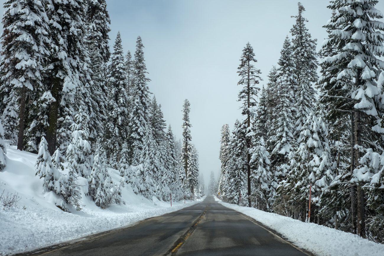

Photo: Diamond Head as seen from the Wenatchee Crest
Want a taste of what the scenery along the Hog Loppet route is like without actually cross-country skiing or snowshoeing that 19-mile route? Then ski or snowshoe the Wenatchee Crest west of Blewett Pass along Spur Road 800 of Forest Road 7324. This high, snowed-over road follows a ridge system forming the Chelan-Kittitas county border.
Besides the novelty of being two places at once (in both Kittitas and Chelan counties), on a nice day you’ll get airy views out toward Mt. Rainier to the south, Glacier Peak to the north, the Enchantments to the west while all around you are the complex folds and drainages of the Wenatchee Mountains. It’s as beautiful as (or maybe even better than) skiing the Hog Loppet.

Photo Right: The Wenatchee Mountains bordering the Wenatchee Crest.
Details, Details: Following the Wenatchee Crest from Blewett Pass
Activities. Nordic/cross-country skiing, snowshoeing.
Skill. Skiers: 1+ (2 in icy snow conditions). Snowshoers: 1
Fitness: 1 to 2 depending on distance traveled.
Access. From the Y-Junction, follow Highway 97 south to Blewett Pass. Just beyond (west of) the high point of the pass park on the north side of the highway (SnoPark permit required).
Trip Instructions:
- Follow Road 7324 leaving from the north side of Highway 97 just west of the highest part of the pass. The first segment of road is a shared-use route with snowmobiles. Arrive early in the morning and motorized traffic will be far lighter than mid- or late morning.
- At an intersection after 0.6 miles, follow Spur road 800 to the left into the voluntary non-motorized area. It’s likely there will be some snowmobile tracks along the road placed by those who reject the notion of a voluntary closure, but the large majority of snowmobilers honor the status. Usually pedestrians have this route to themselves.
- The road carries on for another 3.75 to 4 miles until it ends near the summit of Peak 4,885’. There are a few forks in the road as you follow the Wenatchee Crest but the longest and highest option is to keep taking the left fork whenever you have a choice.
- When you’ve had enough, turn around and retrace. The road undulates but overall you gain elevation as you head west and the return trip will be considerably faster. Roundtrip travel to road’s end is about 9 miles.
More information: This road system is not groomed although it’s not uncommon to find the tracks of other Nordic skiers and/or snowshoers. See this link for more information for additional guidebook information. Additionally, Ellensburg XC Ski Club have directions and another topo map of their own here.

Map. See our topographic map below.
The route starts at Blewett Pass and the beginning portion is north of the highway and noted as a red line. After 0.6 miles, the remainder of the route (the part in the voluntary non-motorized area) is shown as a green line.
Date: This information was first posted February 16, 2012.
Leave It Better Than You found It: This should be every outdoor user’s goal. Pick up trash others have left behind, pull noxious weeds along your route, disperse fire rings found at campsites (they encourage more fires), throw logs and branches over spur trails and spurs between switchbacks (make it harder to do the wrong thing than the right thing).
DISCLAIMER: Treat this information as recommendations, not gospel. Things change and those contributing these reports are volunteers–they may make mistakes, fail to give complete information, or may not know all the issues affecting a route. So forget about finger pointing: If things go wrong, you are completely responsible for yourself and your actions. If you can’t live with that, you are prohibited from using our information.

