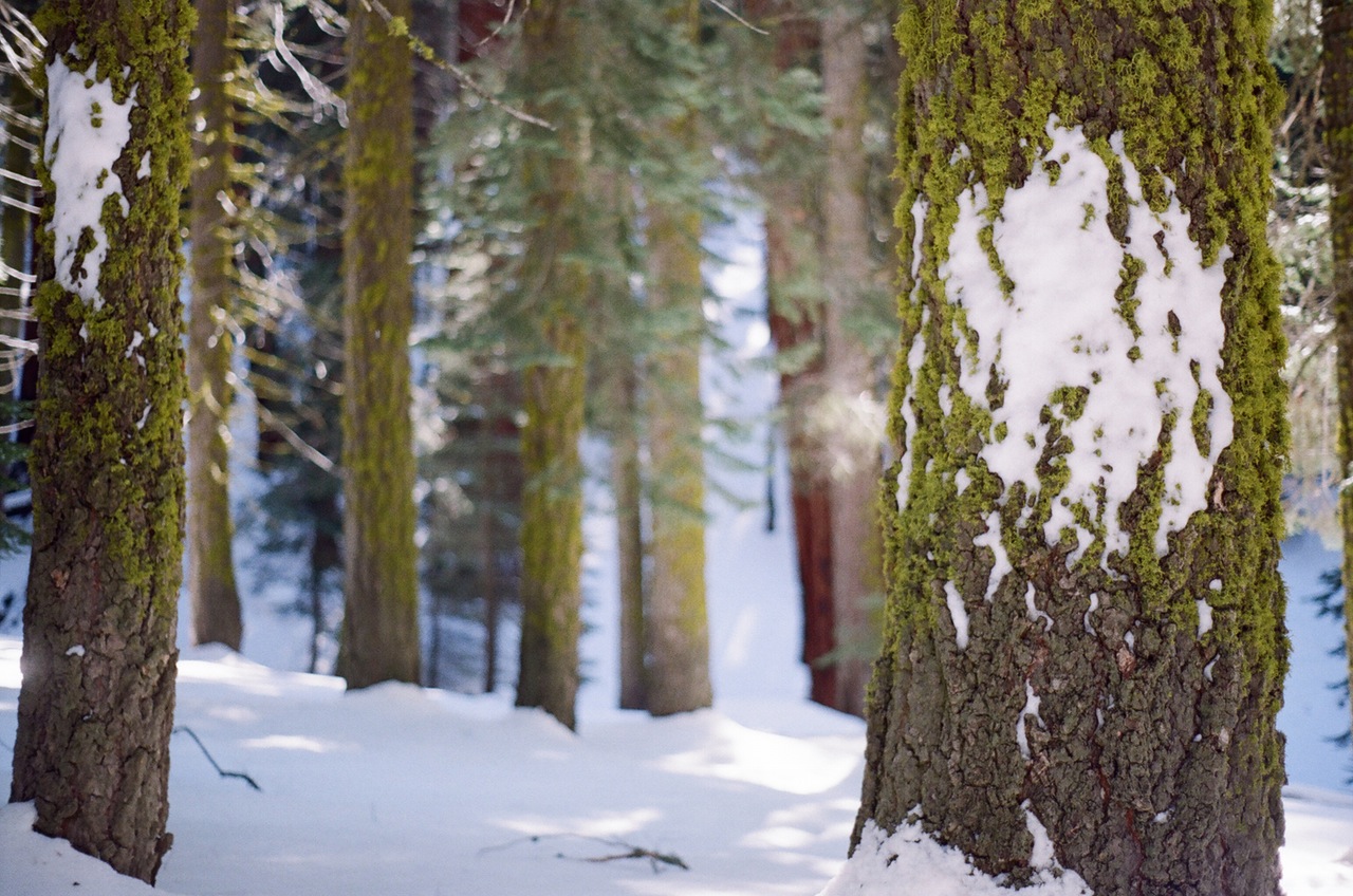
 ATTRACTIONS. Quickly accessed road/backcountry trip where snowmobile traffic is relatively light for about 4 miles and not allowed beyond that point. For most of the trip, the ridgeline of Miller Peak is a visible goal and the surrounding forest is nice. Once the ridge is attained, the view across Mission Creek and the Teanaway just can’t be beat.
ACTIVITIES. Lightweight backcountry skiing. General touring on cross-country skis.
Skill Level: 1 (advanced beginner) if just using the roads to get near Miller Peak. 2 (intermediate) to actually reach the summit of Miller Peak.
Fitness: 2+ to 3- (strong intermediate) to summit Miller Peak.
DISTANCE. Roundtrip of 13 to 20 miles depending on route taken.
ELEVATION. 2,600’ @ trailhead / 6,400’ @ ridgetop (3,800’ gain)
ACCESS. From the Y Junction at the intersections of Highway 2 and Highway 97, proceed south on Highway 97 (toward Blewett Pass). After about 13 miles, look for the Scotty Creek/Old Blewett Pass turnoff to the right (it’s about 1 mile south of King Creek.) Take this right where the first 50 yards are plowed. According to the Wenatchee River Ranger District, this is not an official Sno-Park.
TRIP INSTRUCTIONS:
-
Follow the Old Blewett Pass road south for about 0.8 mile, take the first right onto the bridge across Scotty Creek and head west up Shaser Creek on Forest Service road 7322. (Not all the roads are signed so keep track of the intersections).
-
After about 0.6 mile on your right, you will see a trailhead kiosk at the gate across the 7322 road that follows the North Fork of Shaser Creek. Proceed through this gate and continue up the North Fork of Shaser Creek on road 7322.
-
After about 1.4 miles, there is an intersection. Here, virtually all of the snowmobile traffic proceeds straight through the gate onto the 400 spur of road 7322. Don’t do that. Rather, stay on the left fork which continues to follow Shaser Creek after immediately crossing a tributary of it. Motorized traffic is not allowed beyond another 1.0 mile.
-
At about 3800 feet, 1.3 miles beyond the motorized closure, there is an unmapped fork in the road and a decision point: remain on the road for another 3.3 miles or leave the road and follow the northwest trending spur ridge for 0.8. (The spur is a bit of a grunt and, for skiers, not doable without climbing skins.) Both routes top out on the ridge.
-
Once the ridge is attained, follow it for 1.9 miles to the summit if you followed the road and 0.8 miles if you bushwhacked the spur ridge.
MAP. See our topo map below for more information. The roads are bit of a maze so a Fireman’s Map purchased at a Forest Service Office is also recommended. If you get lost, retrace your route.
RECOMMENDED SEASON. Any season, any time.
USES ALLOWED. Cross-country skiing on roads, backcountry skiing if going for the summit, snowshoeing, snowmobiling (for only 4 miles of the route), hiking, mountain biking.
USES NOT ALLOWED. Passenger cars beyond 1.4 miles and all motorized vehicles beyond 4.0 miles.
CONS / HAZARDS. The Old Blewett Pass Highway and the North Fork of Shaser Creek are popular snowmobile routes. On the other hand, in three trips, I’ve only encountered them twice. Access to the ridgetop is quite safe and hazards along the ridge to Miller Peak can be mitigated. Avoid the cornices that form along the lee, northeast side of the ridge. The ridge itself is southwest facing and exposed so it can be very icy and a challenge for lightweight gear.
LAND DESIGNATION. The roads up North Shaser Creek are mostly on Longview Fibre property. Once the ridge is reached, the route to Miller Peak is on Forest Service property.
FEES / PERMITS. None. According to the Wenatchee River Ranger District, the parking at the bottom is not an official Sno-Park
OTHER RECOMMEDATIONS. Because of the distance and the road travel, this is a good route for flexible, lightweight (non-plastic) boots coupled with general touring skis or the lightest metal-edged backcountry skis. Skinny (lightweight) climbing skins ease the climb from the road to the ridge.
TRIP REPORTER: Matt Dahlgreen, February 24, 2006
Leave It Better Than You found It. This should be every user’s goal. Pick up trash left by others, pull noxious weeds along your route, disperse old fire rings, throw branches over unwanted spur trails…
Disclaimer. Treat this information as recommendations, not gospel. Conditions change and those contributing these reports are volunteers–they may make mistakes or not know all the issues affecting a route. You are responsible for yourself, your actions, and your safety. If you won’t accept that responsibility, you are prohibited from using our information.

