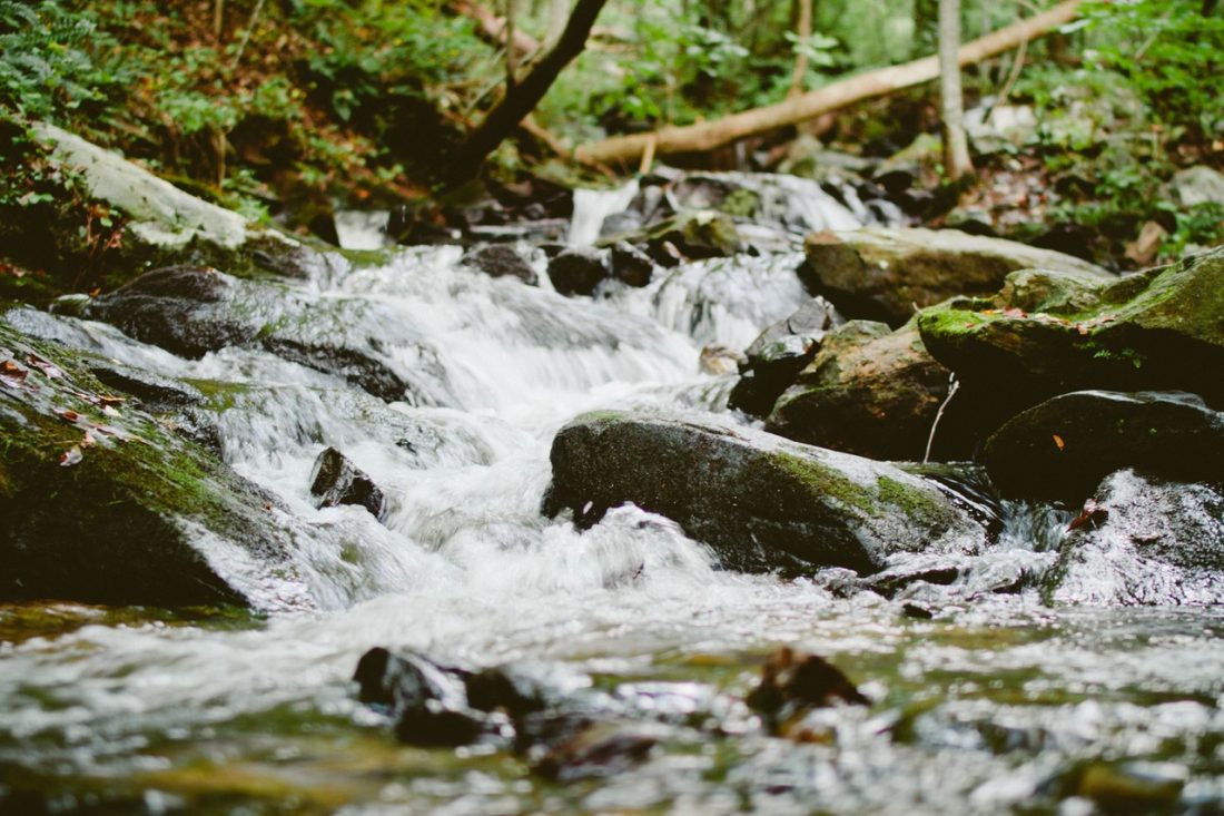

A long, forested single track trail through sage and ponderosa pine that opens onto sunny hillsides and dips into shaded groves. The trail winds along the Mad River, offering views of the canyon and the remnants of the 1994 Tyee Creek Fire. A popular mountain biking destination, this trail is also a great hike for spring wildflowers.

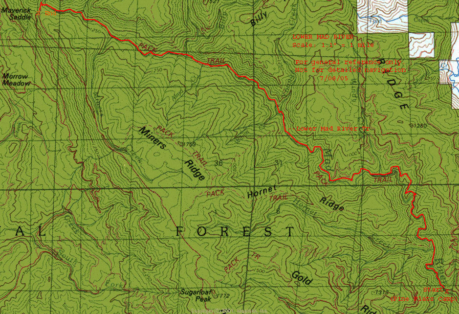
Maps: View our topo map. Note: use ‘Print Preview’ before printing to properly scale this map to a full sheet of paper.

Activity: Mountain Biking, Hiking
Nearest Town: Ardenvoir, Entiat
Skill Level: MTN BIKING: 2+ skill or better recommended. HIKING: 2
Fitness Level: MTN BIKING: 3 to complete the whole ride, though intermediate fitness levels can ride as far as energy allows. HIKING: 2
Distance: About 30 mile roundtrip from Pine Flats to Maverick Saddle.
Elevation: Pine Flats:1,800 feet; Maverick Saddle: 4,400 feet.
Access: Follow Highway 97 to Entiat, then take the Entiat Valley Road 10.5 to just beyond Ardenvoir where you’ll turn left onto Mad River Road No. 5700. About 2 miles from the turn, you’ll reach a fork in the road. Continue straight on Road 5700–the other option forks left across a bridge and onto a gravel road. Continue on 5700 until you reach Pine Flat Campground in another 2 miles. Reach the Lower Mad River Trailhead from the Pine Flat Campground.
Trip Instructions: Follow the river uphill for as long as time and energy allows. Keep an eye out for areas where the trail has been washed out, or where windfall has blocked the trail.
Hazards: In spring, high water runoff in the Mad River can lead to washouts and dangerous river crossings. Be aware of the water level and trail conditions before you leave the house. Call the Entiat Ranger Station (509-784-1511) for more information and condition updates.

Uses Allowed: Motorcycles, walking, mtn biking, horseback riding.
Uses not Allowed: 3-wheeled and 4-wheeled ATVs.
Fees/Permits: A Northwest Trails Pass is needed to park at the trailhead ($5 day pass or $30 annual pass). A pass can be purchased at a self-service station near the entrance to the campground.
Additional Information: John Zilly’s reports on the trail in his book “Mountain Bike! Northwest Washington: A Guide to Trails & Adventure.” This description begins at Maverick Saddle, on the upper end of the trail.

Condition Update: May 22, 2008 from the Wenatchee World. The first three miles of trail are clear before the trail washouts begin. Windfall across the trail from the 1994 fires make passage complicated in some places. Mountain bikers will have to carry their bikes through places where the trail has been washed away. Horseback riding and motorcycling is not recommended.
Leave It Better Than You Found It: This should be every outdoor user’s goal. Pick up trash left by others, pull noxious weeds along your route, disperse old fire rings (they encourage more fires), throw branches over spur trails and spurs between switchbacks (make it harder to do the wrong thing than the right thing).
Important Disclaimer: Treat this information as recommendations, not gospel. Things change, conditions change, and those contributing these reports are volunteers–they may make mistakes, fail to give complete information, or may not know all the issues affecting a route. So forget about finger pointing: If things go wrong, you are completely responsible for yourself and your actions. If you can’t live with that, you are prohibited from using our information.
This post was originally published on 6/21/08.