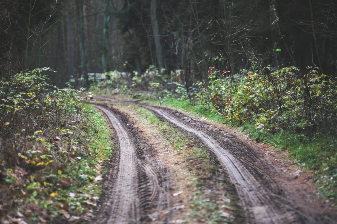

Beautiful scenery, varied vegetation (from sage slopes to thick forests). High enough to be a welcomed escape from the summer heat. For mountain bikers, it is an interesting single track—some of it buff, much of it rocky or rooty. If you decide to bring your dog, make sure to pay attention to the sound of dirt bikes or motorcycles. They are allowed to use sections of this route.
Maps: USGS 7.5-minute Series: Swauk Pass. View our topo map. Note: use ‘Print Preview’ before printing to properly scale this map to a full sheet of paper.

Activity: Hiking, Mtn Biking
Nearest Town: Blewett Pass
Skill Level: HIKING/RUNNING: 2; MTN BIKING: 3
Fitness Level: 2
Distance: 9 miles round trip as described. Mtn Bikers, starting from Blewett Pass adds 12 miles of riding and 1,500 feet of vertical to the ride.
Elevation: Rolling terrain. Many short ascents and descents
Recommended Season: Summer and fall.
Access: Follow Highway 97 south to Blewett Pass (elevation 4100’). Just beyond the highpoint of the pass, turn left (south) on Forest Road 9716. Drive 3.5 miles, then turn left onto Road 9712. About 2.6 miles farther (1.1 miles past the Lion Rock junction) park on the right at the Naneum Rim Trailhead (elevation 5585′).
Note for Mtn Bikers: You can add 10 miles round trip to the trip description below by parking at Blewett Pass and riding the gravel roads just described.
 Trip Instructions:
–Follow this rocky trail downhill 1.1 miles to the junction of the Naneum Creek Trail No. 1381 (el 5120’).
–Go straight on the Grass Camp Trail No. 1219. After crossing the creek, the trail climbs for .75 miles to a trail junction (el 5710’).
–Fade left on the Grass Camp Tie-In Trail No. 1219.1 and descend 0.25 miles, cross the creek, and hit the trail junction with the Naneum Creek Trail on your left (on the return trip, you’ll come down this trail, following the creek).
–Go straight ahead going uphill for 50 yards and hit the large Road 9712 at Haney Meadows. Go left on the road and, in about 100 yards, turn right on Rd 9712-119 into Ken Wilcox Horse Camp. Walk to the far end of the parking lot and then keep walking north toward the campground area. Shortly after the gravel road you’re on hooks left (west), you’ll see an unmarked trail taking off on the right. Take it.
–After about .1 mile at a trail junction, go straight on the signed Mt. Lillian Trail No, 1601. Stay on this trail another 0.3 to 0.4 miles until you intersect a good jeep road (el 5700’).
–Turn left on the jeep road and climb in a northerly direction. After 1.15 miles, reach the trip’s highpoint–a peaklet (el 5940’) with a fabulous view.
–The jeep trail now hooks to the right (east) and descends 0.25 miles to the Tronsen Ridge Trailhead (el 5825’).
–At the trailhead, turn right and head downhill in a southerly direction along another jeep trail following the draw forming Naneum Creek (depending on the time of year, there may or may not be water in the creek). In about 0.9 mile, hit Road 9712.
–Turn right on Road 9712 and follow it 1 mile back to Haney Meadows to the Naneum Creek Trail No. 1381 (you passed this junction earlier, remember).
–Continue 1.6 miles downhill on the Naneum Creek Trail to the intersection with the Naneum Rim Trail.
–Turn right on the Naneum Rim Trail and retrace it back to the car.
Misc for Mtn Bikers:
With Road 9712 running through the center of this ride, parties of various ability levels can ride together and occasionally reconnect (at Haney Meadows or at peak 5940’ by the Tronsen Ridge trailhead). Beginners with can easily ride Road 9712 on an out-and-back as far as energy allows. Also, one mile beyond Haney Meadows, beginners could ride part way up (and then hike) the jeep roads of Upper Naneum Meadows to peaklet 5940’ near the Tronsen Ridge Trail (a scenic lunch spot). Carrying lightweight walkie-talkies (like the Motorola TalkAbout) facilitates coordination of such groups.
Cons/Hazards: The area sees a fair amount of hunting traffic in the fall, so be colorful and, if you’re a biker, take the antlers off the helmet.
Uses Allowed: Hiking, mountain biking, horseback riding, motorcycles.
Uses Not Allowed: Parts of the route are closed seasonally to motorized vehicles.
Land Designation: Forest Service
Fees/Permits: Depending on where you park, you may need a Northwest Forest Pass. There are lots of places to park free, however.
Trip Reporter: Andy Dappen, 9/19/05
Leave It Better Than You Found It: This should be every outdoor user’s goal. Pick up trash left by others, pull noxious weeds along your route, disperse old fire rings (they encourage more fires), throw branches over spur trails and spurs between switchbacks (make it harder to do the wrong thing than the right thing).
Important Disclaimer: Treat this information as recommendations, not gospel. Things change, conditions change, and those contributing these reports are volunteers–they may make mistakes, fail to give complete information, or may not know all the issues affecting a route. So forget about finger pointing: If things go wrong, you are completely responsible for yourself and your actions. If you can’t live with that, you are prohibited from using our information.
