
On drives over to or back from Seattle, it’s nice to stretch the legs, get some fresh air, and bag some nice views. Here’s a ridge run up a peaklet bordering Old Blewett Pass accomplishing all that. Throw some boots and snowshoes in the cars and you don’t need much extra gear to break up a long tedious drive into two short segments that will seem far less odious when a fun outing is bagged in the process. This route up the 4,675-foot peak immediately east of Old Blewett Pass is easy to follow, has fairly low avalanche exposure, and delivers great views of the rumpled terrain around Blewett Pass and out toward the high peaks of the Enchantments. The route is also quite short — if you hustle, you’ll only need two to three hours for the round trip.

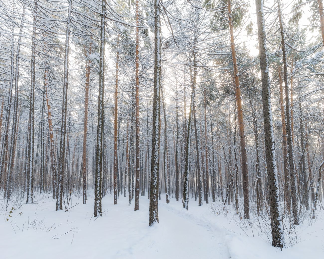
Photo: Looking down on Old Blewett Pass while descending the NW ridge of Peak 4,675′.
Activities. In winter (which is when we posted this entry) the south-facing ridge system used for the ascent makes a good snowshoe trip. Winter visitors can also backcountry ski up the ridge system we describe but, in early and late winter, the ridge burns off quickly and often has many bare spots to walk over. This is not an issue for snowshoes and is pretty easy on skinned skis while climbing, but it doesn’t make for good skiing on the descent. We’ve listed some different descent options that are better for a s skiing descent. In summer, hikers will find this route affords decent cross country travel as well. There will be the occasional pocket of brush to push through, but the ridge system described allows for good cross-country travel.
Skill: 2 (intermediate).
Fitness: 2 (intermediate).
Access. From Swauk Pass (New Blewett Pass), drive 4.8 miles west on Highway 97 to Milepost 159.2 and pull off on the north side of the highway in the plowed pullout for the Old Blewett Pass Road (Road 7320). No permits are needed to park here. Some snowmobilers use this snowed-over road and to keep your vehicle from getting damaged, park in a way that allows larger vehicles to negotiate the pullout (i.e., park about halfway along the plowed section and as close to one edge as possible).
Trip Description (Ascent). From the car (elevation 3,040’), leave Road 7320 along a true bearing of 19 degrees. Ahead of you is a ridge system that wanders a bit left and right but roughly follows a bearing of 19 degrees all the way to the 4,675’ foot summit.
Map: See a topographic map of the route below.
Descent. Several options exist. Skiers are likely to want to follow either the second or third option because these have more open terrain and better snow coverage.
- Retrace the ascent route.
- Descend the ascent route to the 4,000-foot level; then ski down into the drainage below on a true bearing of 231 degrees. Cross the small creek at the bottom of the drainage and climb/contour about 50 vertical feet above the creek to intersect a logging spur that parallels the creek downhill. Follow the spur road back to the Road 7320 and then follow this larger road back to the start.
- Go slightly past the summit to Waypoint 9 and then follow the NW ridge along a bearing of 306 degrees to Old Blewett Pass. From here, either skate the main road downhill to the start or ski into the drainage below the pass along a bearing of 192 degrees. Once in the drainage, cross over to the west side of the creek and contour downhill above the creek remaining 40 or 50 vertical feet above the gut of the drainage. Before long you’ll encounter a logging spur that heads downhill paralleling the creek. Follow this spur down to Road 7320 and then skate Road 7320 back to the car.
Allowed. Both motorized and non-motorized use of Road 7320 is allowed. The ascent route may have snowmobile tracks along the bottom (allowed) but the ridge narrows and vegetation thickens after several hundred vertical feet so you’re unlikely to see machine tracks after this.
Hazards. The ascent route is quite safe in most snow conditions and offers a alternative for an outing when other areas around Blewett Pass or Stevens Pass are reporting considerable or even high hazard. Of course, this does nott mean that the route is completely safe. In very high hazard conditions, the upper part of the route could slide. The first two descent routes are also quite safe as far as avalanche hazard is concerned (about the same risk as the ascent route). The third descent route is a bit more open and a little steeper so it presents more danger during high-risk periods.
Leave It Better than You Found It. This should be every user’s goal. Do no damage and pick up trash left by others.
Disclaimer. Treat this information as recommendations, not gospel. Conditions change and those contributing these reports are volunteers–they may make mistakes or not know all the issues affecting a route. You are responsible for yourself, your actions, and your safety. If you won’t accept that responsibility, you are prohibited from using our information.

