Skill: 1 (beginner) 
Fitness: 1 (easy)
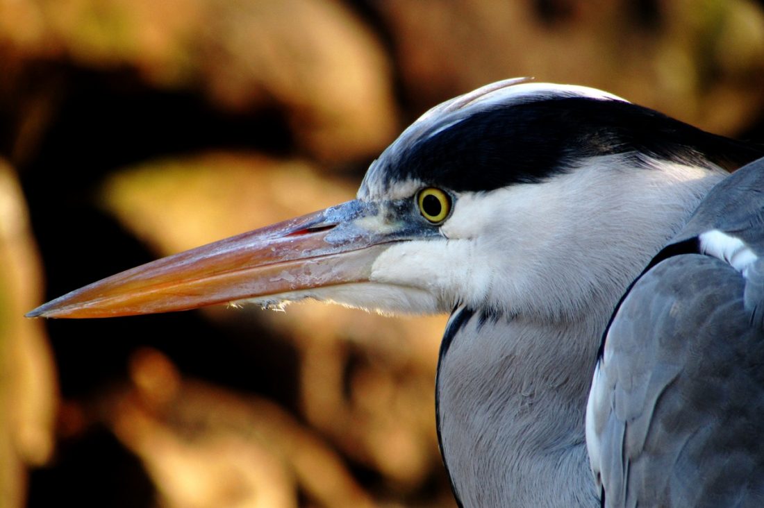
Attractions: The island is a wildlife protected area and has a fish hatchery on the island. Deer, eagles, heron, osprey, salmon and other wildlife may be seen depending on season and weather. The foundations of old buildings, built prior to Rocky Reach Dam, can be seen in the shallows on the east side of the island. Old Highway 2 ran close to the island on the East side. Before the new highway was constructed, there was no water between the island and the highway like there is today.
Distance: 3.25 miles (from the dock at Lincoln Rock State Park, around the island, and back).
Access: Access through Lincoln Rock State Park, off of Highway 2 / 97 on the east side of Columbia River). The entrance to the park is some four to five miles north of the highway 28/97 junction and just a bit north of Rocky Reach Dam.
Trip Instructions: Launch from the beach to the east of the boat docks. Leave the park and paddle north around the island, either clockwise or counterclockwise. If the wind is blowing or the waters are rough, the east side is more protected and you may want to paddle out and back the same way. The island is owned by the Chelan County PUD and only the shoreline can be accessed. No hiking is allowed on the island.

Recommended Season: Year-round. Even winter is a nice time to take this paddle, but be sure to dress appropriately for cold, wet conditions and don’t tip over.
Uses Allowed: Boats, swimming
Cons/Hazards: Rattlesnakes on the island. Power boats and shallow water — watch for rocks in water. Winds can also be strong (early morning or early evening are likely to be calmer). Cold and wet in winter, chance of hypothermia if you tip.
Land Designation: Washington State and Chelan County PUD.
Fees/Permits: None needed.
Maps: Use our free map below or the USGS 7.5-minute series: Rocky Reach Dam.
Issues: The island is owned by the Chelan County PUD and only the shoreline can be accessed. No hiking is allowed on the island.
More Info: The pool behind Rocky Reach Dam is called Lake Entiat and you can paddle north on this reservoir all the way to Wells Dam, another 40 river miles upstream. So if the paddle conditions are favorable keep paddling beyond Turtle Rock for as long as time and energy allow. Or, put-in up by Wells Dam and make an overnight trip of paddling to Lincoln Rock State Park.
Leave It Better than You Found It. This should be every user’s goal. Pick up trash left by others, pull noxious weeds along your route, throw branches over unwanted spur trails, etc.
Disclaimer. Treat this information as recommendations, not gospel. Conditions change and those contributing these reports are volunteers–they may make mistakes or not know all the issues affecting a route. You are responsible for yourself, your actions, and your safety. If you won’t accept that responsibility, you are prohibited from using our information.

