
Information below is from Washington Trail Association.org at this link. This post was updated on 7/20/16 by Sarah Shaffer.
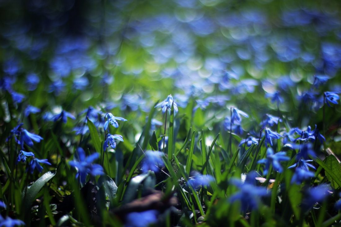
“An ecological gem hidden in the Wenatchee Mountains, Camas Meadows (a.k.a. Camas Land) harbors plant species found nowhere else in the world. A sprawling, lush, near-level lawn cradled by lumpy forested ridges, Camas Meadows is a geographical anomaly in the Cascades’ dry extreme eastern reaches. Too fragile to explore, the meadows are best viewed from above, as experienced on this hike. Magical in spring, brilliant in fall, and quiet in winter, it’s not a bad place to be in summer either.
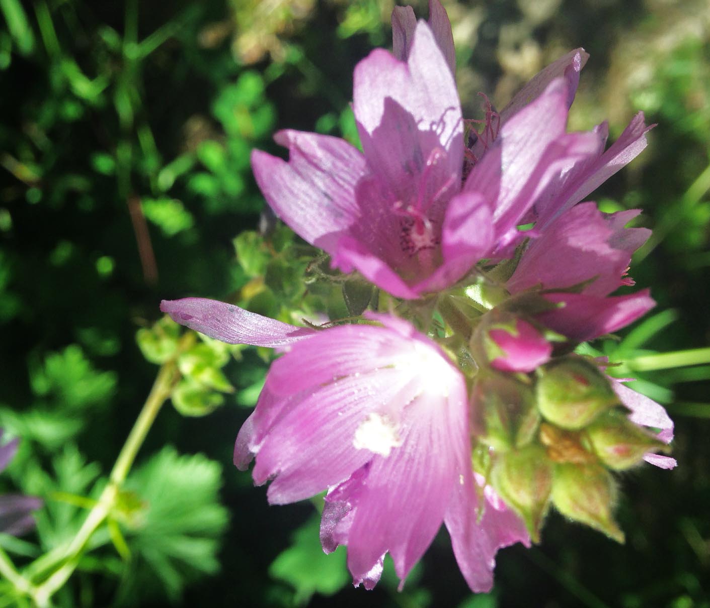
Administered by the Washington Department of Natural Resources (DNR), 1300-acre Camas Meadows is one of forty-nine Natural Area Preserves in the state. These areas are managed to protect high-quality examples of the state’s native ecosystems and unique and rare plant and animal communities, so recreation in the preserves is extremely limited. The majority of the Camas Meadows Preserve consists of lush, fragile wetlands that sport healthy populations of its namesake as well as the Wenatchee Mountains checkermallow and the Wenatchee larkspur, which are found nowhere else in the world.”
Walking Instructions: See WTA’s trip description at this link.
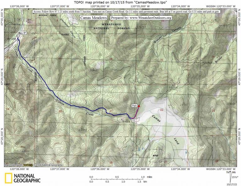
Map: See map below for more information.
Access: Follow Highway 97 5.25 miles south from the Y-Junction. Turn east on Camas Creek Road. Go 3.1 miles until pavement ends. Bear left here at a Y on a gravel road. Within .1 miles there will be a sign on the right noting Camas Meadows and the hiking access. Go 0.35 miles past this and park at a gate which is on the left. The hike begins behind the gate along an old dirt road. It should be noted that on 7/20/16 when this hike was completed by Sarah Shaffer the only approved trail noted on the map at the sign, was the hike taken behind the gate. There are no hikes that lead along the side of the main meadow that we are aware of. We walked part of the main road that we drove in on to get a better view of the meadows once we finished the hike behind the gate.
Leave It Better Than You found It. This should be every outdoor user’s goal. Pick up trash left by others, pull noxious weeds along your route, disperse old fire rings (they encourage more fires), throw branches over spur trails and spurs between switchbacks (make it harder to do the wrong thing than the right thing).
Disclaimer. Treat this information as recommendations, not gospel. Things change, conditions change, and those contributing these reports are volunteers–they may make mistakes, fail to give complete information, or may not know all the issues affecting a route. You are completely responsible for yourself, your actions, and your safety. If you won’t accept that responsibility, you are prohibited from using our information.