This outing is not in our general stomping grounds we post about, but we bring this story to you because Jim wrote it and he is Wenatchee homegrown.
by Jim Brisbine
Silvertip Mountain (8517’)
Mt. Rideout attempt (8028’)
May 26-28, 2017
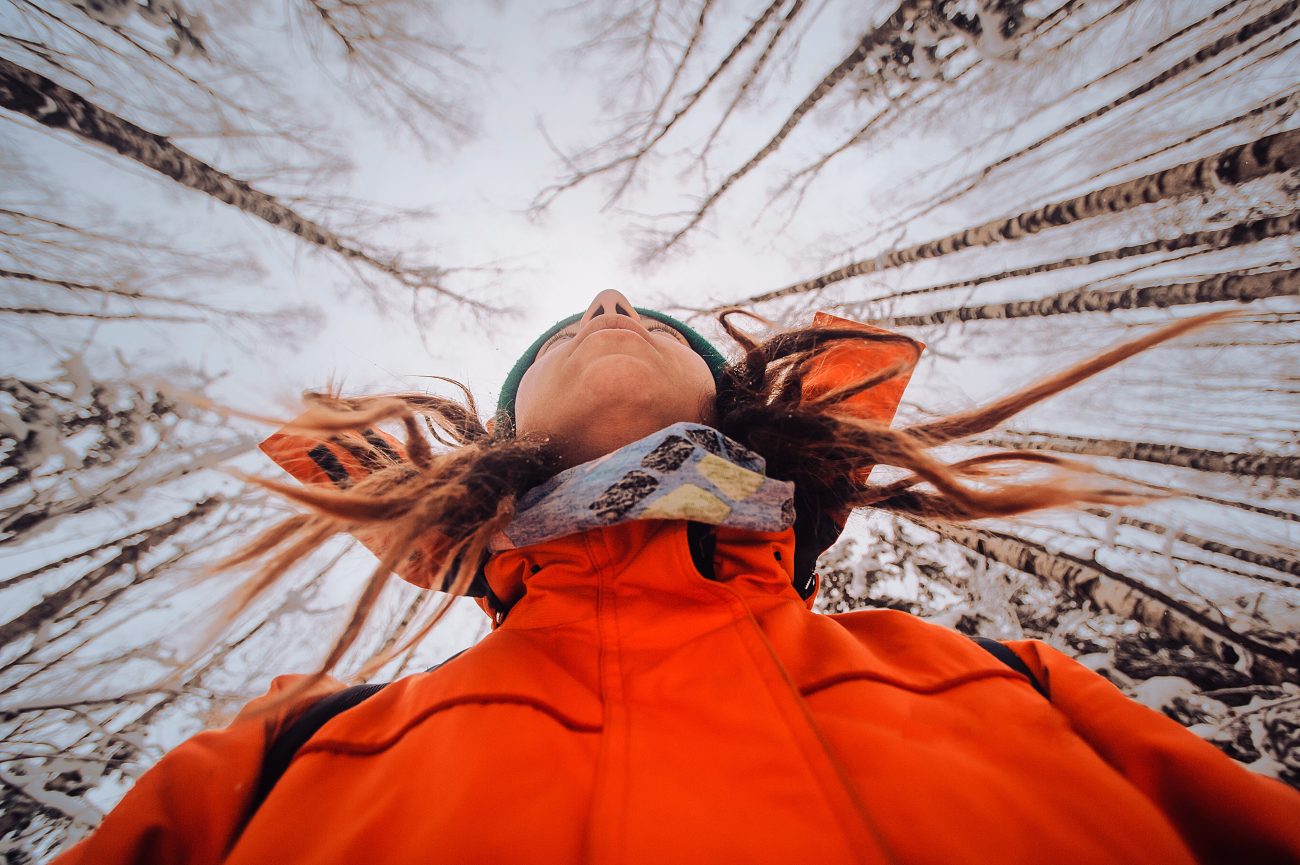
When we were handed the best Memorial Day Weekend weather forecast in quite a few years, Fay, Kevin K, George, Eileen, and I jumped on the opportunity and headed north of the border. Our goal was to climb Silvertip Mountain and Mt. Rideout in British Columbia. Silvertip Mountain is the highest peak in the Canadian Cascades and, as Fay explained, is also the most prominent non-volcanic peak in the northern Cascades (in this context, meaning everything north of the Columbia River). Although not a lot of Washington climbers know of Silvertip Mountain, a lot of them have probably seen and admired its pyramidal countenance from Washington summits. Mt. Rideout is even less familiar, but as a climbing objective, it usually pairs well with Silvertip—like filet mignon and cabernet sauvignon.
DAY 1: We drove the Silver-Skagit Road approximately 22 miles southeast from Hope, B.C., went slightly past the Maselpanik Creek road, and turned onto an obscure spur road that quickly  ended in a small parking lot at the edge of the valley (Elev. 2000 feet). It was high noon and quite warm (hot, by May standards) when we arrived. We finished sorting gear, shoulders packs, and then headed up with full water bottles.
Our first leg of the approach involved a hot, sweaty slog for 700 vertical feet up a clearcut directly above the parking lot. This clearcut slope is steep and rocky but, surprisingly, not at all brushy. Near the top, we veered left onto a faint climber’s path that led up to a rib. The final few feet went up a very steep Class 3 rock and dirt headwall with a fixed handline. We took our first of many rest breaks at the top of this portion, about 1000 feet above the parking lot.
Once past the steep headwall, the gradient relaxes slightly and the climber’s path becomes somewhat better defined. We followed boot tread and numerous bits of orange flagging onward and upward along a ridge crest for several hours. The travel was never difficult or brushy, but it was (in a clinical sense) totally unremarkable: just a long, monotonous forest slope. At a rock step around Elev. 4600 feet (4.5 hours from cars), we encountered our first good view of the surrounding peaks. Shortly beyond, the ridge forms a rocky hogback with a huge, old, gnarled fir tree  growing out of the side.
At 5300 feet, the ridge crest relaxes even more and the views open up completely. This is also where we encountered a thick snow cover.Progress along the ridge crest is blocked by a rock buttress at 5800 feet, forcing a detour around to the right (eastern) side of the ridge. We traversed a series of steep snow slopes around the buttress to gain a snowy basin below Silvertip Mountain. Some of the traverse route crosses between tall cliff bands; this is no-slip territory!
We filled up our water bottles and carboys at a meltwater trickle in the snow basin, then continued up to the ridge that connects Silvertip and Rideout. Despite a healthy snowpack this winter, prevailing southerly winds have kept the ridge crest bare and dry. We happily set up camp on some gravel benches with sweeping views of the Cascade range to the north and south (8.4 hours from cars; 5000 feet gained).
DAY 2: We awoke to blue skies and warm weather, which allowed for a full breakfast-time appreciation of Silvertip Mountain to our east……and Mt. Rideout to our west.
After breakfast, we packed up rucksacks and headed out to Silvertip Mountain. Our route generally followed the long, curving, west ridge, which features inviting alpine tundra and craggy outcrops. I found the terrain to be very reminiscent of the scenic ridge between Windy  Pass and Mt. Cashmere. We all agreed that this qualifies as a “glamour climb” for peakbaggers!
About a mile along the crest, we crossed over the top of a rocky false summit. This required some exposed Class 2-3 scrambling on the back side but was never difficult enough to warrant a rope.
Shortly past the false summit, we donned crampons and started zig-zagging up moderately steep snow slopes on the southwestern face of the true summit. Snow conditions were quite variable here, ranging from firm and crusty to soft and mushy. It became clear that our late-spring snowfall has not yet consolidated—and probably never will before melting off.
The final few hundred feet leading to the summit was a slightly steeper snow chute. Knowing that this is likely an unpleasant scree  chute later in the season, we were happy to have good snow cover.
We topped out just in time for an extended boots-off lunch break (3.0 hours from camp). There was no summit register, so we left a small tube.
Being the highest and most prominent peak in the region, Silvertip provides a splendid vantage point. The northern side of the nearby American Chilliwack mountains shown below—a view seldom seen by Washington climbers—was particularly impressive. The Coast Range extended off to our northwest, and the Coquihalla mountains rose directly to our north.
 We descended via the same route and arrived back at camp in late afternoon. Because we still had a couple hours before dinner, Fay and Eileen and I decided to make a reconnaissance trip up Mt. Rideout. We dropped down to the Silvertip-Rideout Col, then made a left-slanting traverse up Rideout’s eastern face. The snowfields provided good travel, but these soon gave way to a series of wet, mossy, rock outcrops. We eventually decided that this route was too unappealing for a summit bid, so we retreated to camp and enjoyed a sunset dinner with George and Kevin.
DAY 3: The morning was again clear and sunny but now a bit breezy. After breakfast, our entire group decided to make another attempt at Mt. Rideout. This time, we tried climbing more directly upward until closely below the summit block and then traversing leftward on the highest snowfields. Our plan worked nicely for the first 800 feet, at which point the slope steepened and the snowpack became very unconsolidated.  While trying to kick steps up a little chute, I triggered a snow slough that raced down our ascent route. We pulled the plug immediately after this scary incident and later agreed that mid-summer or autumn seems like a better time for a Rideout climb.
We retreated back to camp and quickly began packing up in anticipation of a long, tedious descent. We retraced our up-route across the steep snow slopes and down the ridge crest, following boot tread and flagging as best we could. For the most part, our descent was uneventful. However, during our final 700 feet down the clearcut, we all managed to take multiples slips and falls, collecting a variety of cuts and  abrasions in the process. With great relief, we reached our cars at 6:00pm (5.6 hours from camp). How bad was it? Well, plans for a return trip started to form even before we finished treating our wounds.
