Adams-Lost and Found
by Andy Dappen
“Do you really want to rummage around there? There could be a body in those sleeping bags.”

The scene at the Lunch Counter halfway up Mt. Adams is sobering. The tent is partially squashed, its poles broken. The fly is sun-faded and frayed by wind. The two sleeping bags inside have been gnawed by rodents and down leaks from their baffles like flour from ruptured sacks. Booties, water bottles, dishes, and eating utensil are strewn randomly around the floor as if the tent rolled to this location.
I poke at the down bags. No bodies are entombed there, but they are so waterlogged with melted snow I can barely budge them.
“What happened here?” Bill asks as I shuffle some of the tent’s contents around with my ski pole.
“Could this belong to the guy who died sliding down the Southwest Chutes a few weeks ago?”
Bill analyzes the scene. “No,” he concludes. “See how the tent corners are still buried by last winter’s snow. This tent has been sitting here all winter, maybe longer.”
“So does this belong to another dead man or did something else take place?” I ask.
We spin on the possibilities. “Maybe a twosome descended in a storm, couldn’t find their camp, and just kept marching down to the

trailhead,” Bill suggests. “But why didn’t they return the next day to retrieve all this? There’s $2,000 of equipment here.”
I suggest one possibility, “Maybe the twosome was married but so pissed at each other by trip’s end they decided to divorce. Neither of them wanted the other to have any of the gear, so they left all of it on the mountain.”
Bill nods. “As good an explanation as any.” He takes a waypoint and a picture of the camp. We look at the non-descript rock hummocks and snow patches in the vicinity and decide it would be easy to miss this camp in whiteout conditions. “Good idea to mark such a camp,” Bill says before we carry on.

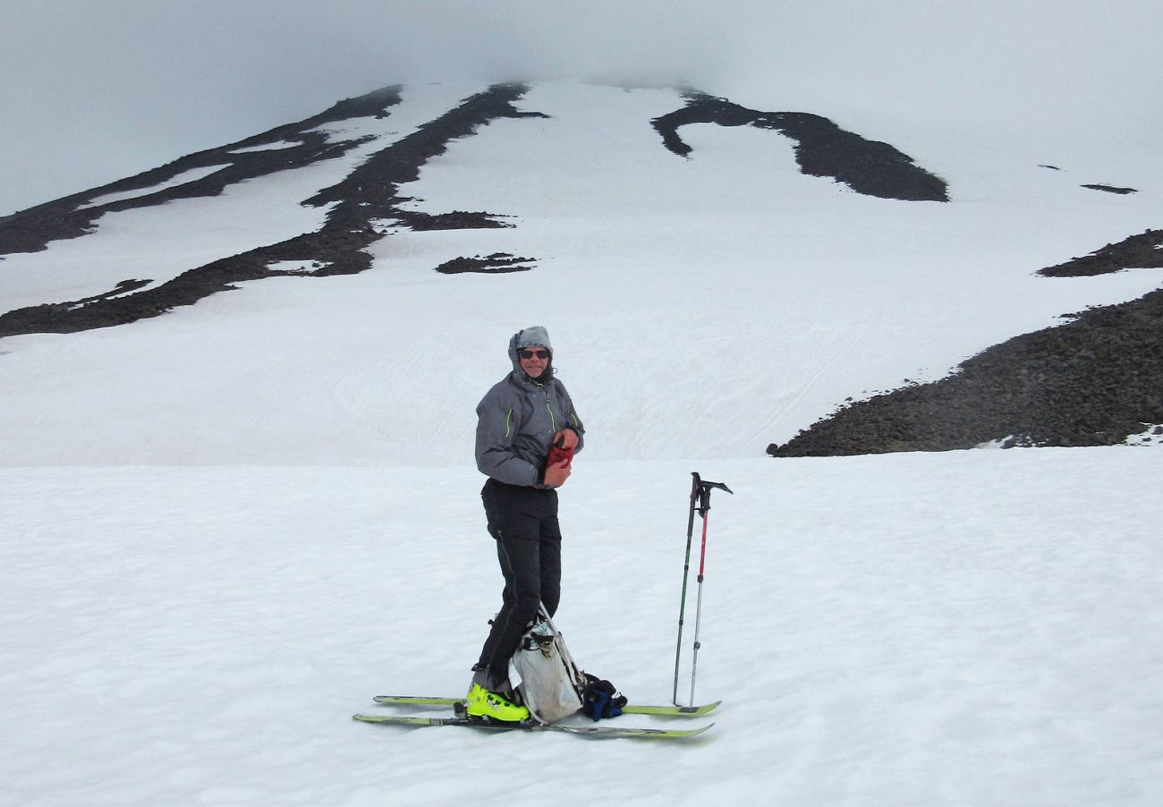
Ninety minutes later the clouds and weather are steadily deteriorating. And the temperatures are dropping. At the 10,500-foot level the snow is still rock hard and it’s apparent the skiing up higher will be poor today. We decide to shed weight and leave our skis amidst another non-descript pile of rocks. I’m confident I can find this spot in white-out conditions but, remembering the tattered tent down lower, we take a waypoint. Shortly after leaving our boards we pass another skier who has come to the same conclusion – why carry the skis higher when we’ll be contending with an ice rink on the return? He’s dumping 15 pounds of ski and boot weight just 100 yards above us.
We reach the false summit (11,300 feet) at the same time as the cloud cap mushrooming downward from the summit obscures all visibility. As our visibility vanishes we’re smacked by 50 mph winds associated with the cloud cap. My core starts cooling like a steak tossed into a freezer – only fast walking keeps me thawed.
At the top of the mountain the tiny knoll formed by the collapsed hut once located here forms just enough wind shelter for the two of us to duck behind and layer up without the wind blowing away the clothes we pull from our packs. We wiggle into extra tops and our wind pants while the climber who left his skis above ours arrives to tag the summit. He waves to us, turns around, and heads down. Apparently he’s sharing my ‘get-down-fast-before-you-become-an-ice-cube’ concerns.
Our own descent begins five minutes later. We poke our heads above our miniature wind shelter and a screaming 70-mile-per-hour torrent rips at our balaclavas. We descend, leaning like linebackers into the wind and searching for the footsteps we kicked 10 minutes earlier. Lower down we lose our footsteps and navigate by instinct, a notoriously lousy technique. Several minutes of instinctual wandering leaves me worried. “Check the track on your GPS,” I yell to Bill, “It feels like we’re drifting into the Southwest Chutes.”
In this wind, baring the hands to pull the GPS from pant pockets is a cold chore that risks losing a glove or even dropping the GPS. We suffer through those risks and discover we are, indeed, wandering into the chutes “Think about figuring this out old-school with map and compass,” Bill yells as he tucks the GPS back into his pocket. “It would be nearly impossible in this wind.”

We course correct and soon we’re back on familiar ground booting down the south-side steeps beyond the false summit. Several minutes later it’s time to find those nondescript rocks hiding our skis. The cream-cheese weather has eroded my confidence about finding the skis through wile alone. We pull out the GPS again to verify that the skis are still below us. They are. Shortly afterwards, we stumble upon the skis and boots ditched by the lone person who tagged the summit while we layered up. “He should have been here already,” Bill says.
“I’m betting he went down the Southwest Chutes.”
“Oh is he going to be pissed when he figures that out.” Bill says.
“If he was as cold as I was up there,” I tell Bill, “he’ll just get off the mountain today and worry about retrieving the ski gear tomorrow.”
“Could be exactly what happened with the tent we passed down on the Lunch Counter,” Bill says.
We exit the mountain without mishap and with all our gear. We leave, however, with a greater appreciation that easy routes on easy mountains are sometimes harder to follow than imagined.
This article was originally published on 7/14/18.
