
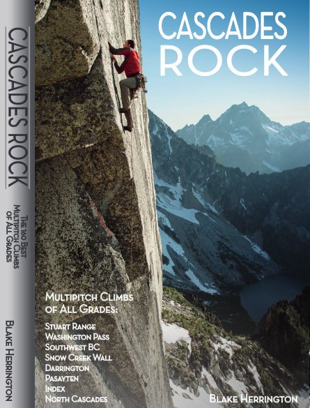
Blake Herrington has created a book called Cascades Rock which has now been published and is for sale. The book covers everything from popular roadside climbs to never-repeated alpine adventures.
Below are excerpts and pictures from his book so that you may get a feel of the quality and detail of his work.
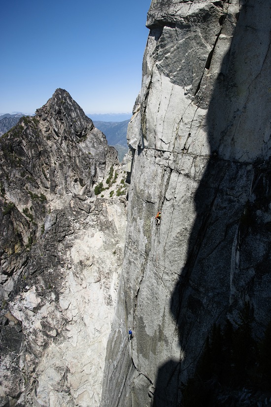
 My hope is to include every good rock-centric long climb in the range, at any grade and ofany age. This includes driving, hiking, camping, descent, and gear information for each climb. The final tally includes 160 such routes. In general I only include alpine rock climbs of excellent quality. Determining the region’s best alpine rock climbs leaves a vast amount of room for subjectivity. From Patagonia to the Ruth Gorge, and the Karakoram to Chamonix, most of the world’s great alpine climbing is on granite. It is no surprise that the areas of the Cascades with the highest concentrations of great routes are also the granitic. I still include many routes on peaks not composed of granite. Additionally, non-granite areas such as the Northern Pickets, Goat Rocks, and Sawtooth Wilderness provide amazing opportunities for mountaineering, skiing, and solitude despite not being represented in this book. Don’t assume great potential climbs don’t exist beyond these pages. This book is not intended to be a comprehensive guide to every route ever done here. Fred Beckey has already penned that opus, and his three-volume Cascade Alpine Guide will never be matched for historical, biological, geological, and climbing information. Nelson and Potterfield’s Selected Climbs in the Cascades books and Alan Kearney’s Classic Climbs of the Northwest showcase the expertise of regional pioneers and describe routes in detail.
 Most of the area’s best routes are 5.9 or harder. Easier terrain is apt to be loose, blocky, and dirty. Despite a few wonderful exceptions, the Northwest simply isn’t the place to find long, clean, aesthetic rock climbs easier than 5.9. I have included a variety of easier routes (from 4th class to 5.8), including several never before included in a book. How we use guidebooks has changed, and most climbers will simply scan or photograph these pages to bring on route. I’ve chosen matte paper and a format that makes it easy to collect the requisite approach and descent info quickly for each route. You won’t find comparisons of cam sizes, equivalences between international climbing grades, or other content of limited value, which is already ubiquitous online. A guidebook will never compete with the internet in terms of offering updated conditions or trip reports. Find updates and corrections at CascadesRock.Blogspot.Com and conditions info at MountainProject, CascadeClimbers, or SummitPost. I hope to steer climbers to the premier routes, offering inspiring photos and information to allow anyone completely new to the Cascades to handle the drive, approach, gear, seasons, permits, route, and descent beta for all the area’s worthwhile long climbs.
STUART RANGE
 The Stuart Range, a term used interchangeably with “The Enchantments,” describes a region of granite peaks on the east side of the Cascade crest, north of I-90 and south of Hwy. 2. Trailheads are 2-2.5 hours east of Seattle. Peaks such as Stuart and Prusik are among the most famous alpine rock destinations in the Cascades. Expect drier weather, fewer glaciers, and less brush than in most of the range. Even within this area the rainshadow effect is pronounced. Each season will have numerous days where Mt. Stuart will be in storms, but Snow Creek Wall and Prusik Peak, farther east, will be sunny. The campgrounds and other U.S. Forest Service land near Leavenworth provide numerous options for overnight stays and long-term free camping. Leavenworth is a regional hub for bouldering and holds many scattered crags. Due to the overnight permit requirement near most peaks, day trips are an excellent choice but make for long outings. For an overnight stay, permits are awarded in advance (apply the winter before) and some are handed out day-of. See “Red Tape” for details. Many of the region’s routes were established after 2004, and several quickly became well-traveled favorites.
 CAMPING: The USFS manages several official campgrounds near Leavenworth. Tumwater Campground sits 12 miles west of town on Hwy. 2, near cragging, bouldering, and just 50 miles east of Index. Many campgrounds exist along Icicle Road, between 7 and 15 miles west of Leavenworth. This road leaves Hwy. 2 at the west end of Leavenworth and it provides access to bouldering, cragging, and alpine approaches to most of the routes described. Leave-no-trace camping is permitted on USFS land and is especially popular along Mountaineers Creek/8 Mile Road, which leaves Icicle Road 8 miles southwest of Leavenworth. Mountaineers Creek Road dead ends after 4 miles of windy gravel switchbacks. The end of the Mountaineers Creek Road is the most popular trailhead for accessing the Stuart Range.
EATING: Leavenworth’s restaurants are mostly overpriced and touristy. An exception is Pavz Cafe, which serves grilled sandwiches, soups, savory crepes, and salads. The Icicle Brewing Company produces great beer and often hosts live music, outdoor movies, and crowds of tired climbers. Standard Mexican food with amazing salsas is found at Los Camperos. Decadent baked goods are produced at Homefires Bakery, tucked into the back of Dan’s Market. Leavenworth is small enough to find these (and every other restaurant) in a 15-minute stroll. Grocery stores are at the east end of town, and climbing gear is available at Leavenworth Mountain Sports, on the west end. 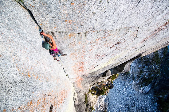
RED TAPE & SEASONS: Overnight camping near Prusik Peak, Dragontail Peak, Colchuck Balanced Rock, Snow Creek Wall, and Aasgard Sentinel is in the Enchantments Wilderness Area and requires permits between 6/15 and 10/15. These are in short supply and high demand. They cost $5 per person, per day. Each permit is good for a group of up to 8 persons, for as long as 1 week. Receive a permit in 1 of 3 ways: 1. Make a reservation during the late-winter lottery period, by registering and requesting dates at www.Recreation.Gov 2. Following the end of the lottery period, search available days and make a reservation at www.Recreation.Gov. 3. Show up at the USFS office on the east side of town, along Hwy. 2, for a possible day-of permit. One permit (which can be valid for 1-8 people) for each of the area’s 5 discrete backcountry “zones” is raffled off daily (except Sunday) during the permit season, which runs June 15-October 15. The raffle is at 7:45 AM sharp. The “Core Enchantment” and “Colchuck” zones are of most interest to climbers. See zones and peaks map on adjacent page. Day use is free and without restriction, year-round. Fill out a self-issue permit at any of the trailheads. The area’s official USFS campgrounds often fill up on weekends, so reserve ahead or make due at one of the free dirtbag bivy spots. Most trailheads in this area require displaying a USFS-created NW Forest Pass, which is $30 for the year or $5 for the day, available for purchase at many stores, and available day-of at most trailheads. The first and last routes to be in condition are on Snow Creek Wall, then Prusik Peak and Aasgard Sentinel. Expect dry, climbable alpine rock from late May through mid October. North and west facing aspects will take longer to dry and warm up and they will hold snow later. Snow Creek Wall is best April-June and September-October. Evenings can be nice in mid summer, as Snow Creek Wall gets PM shade.

