This is a fun single-track ride with lots of options. You can ride up the road (sun, sun, and more sun) which climbs gently, but steadily and then come down a fun single-track in the shade. Or you can make it a full ride on single-track. There are several options to shorten or lengthen the ride, depending on your energy level. And the great thing is you can change your mind as you go.
Maps. View our topo map below for more information (print on 8.5″x11” paper in landscaped mode). Note: use ‘Print Preview’ to scale this map to a full sheet of paper.
Activity: Mountain Biking, Trail Running
Nearest Town: Leavenworth, Lake Wenatchee
Skill Level: 2
Fitness Level: 2
Distance. Distance ranges from a low of 6.7 miles to a high of around 11 miles.
Elevation. Elevation gain by road is about 1,000 feet (2,600 to 3,600 feet). The single-track is up-and-down, giving you additional elevation gain.
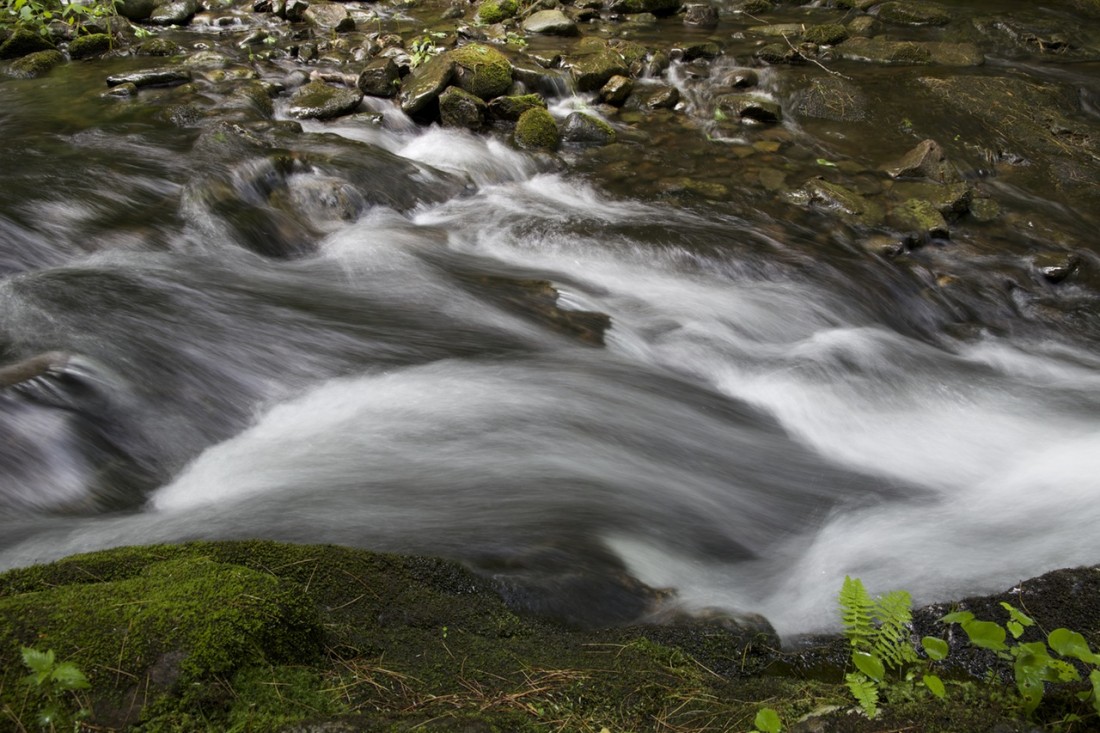
Recommended Season. Spring, summer, and fall. We did this ride in 90 degree heat in mid-August. It was a bit of a “cooker” riding up the gravel road, but awfully enjoyable in the shaded single-track on the ride down. We packed plenty of water with us, but the trail also crosses several small streams (which our dog thoroughly enjoyed).
Access:
- Leave Highway 2 at Coles Corner and follow Highway 207 toward Lake Wenatchee.
- After 4.4 miles, cross over the Wenatchee River. Shortly past the bridge, leave Highway 207 by staying right at a fork and then veer right again at the next fork onto the Chiwawa Loop Road.
- After another mile, the Chiwawa Valley Road (also called Forest Road 62) branches off to the left. Turn left here and follow the paved road for 9.5 miles (note: this road will cross the Chiwawa River after a few miles, gradually curve left, and become the Chiwawa River Road). After 9.5 miles, turn right on Forest Service Road 6210 (gravel). In half a mile, you’ll reach the Chikamin Creek Trailhead parking lot.
Trip Instructions:
- Option #1 (6.7 mile Minnow Ridge ride):
Climb gravel road 6210 for approximately 2.8 miles. The Minnow Ridge trail meets up with the road and you can take the single-track downhill back to your car. Or, you can continue up the road a bit further to the signed “Minnow Ridge Trail” and take the trail down at that point. Don’t expect a free ride down…the trail roller-coasters the whole way. The trail is well-maintained—concrete blocks embedded in the trail in spots and no fallen trees to climb over. Rideable the entire distance. - Option #2 (10.8 mile Minnow Ridge ride):
Climb gravel road 6210 for approximately 4.8 miles. Start keeping your eyes peeled for a short connector trail that drops steeply to the right. It’s easy to miss…you’ll know you’ve gone too far (like we did) if you reach the trailhead for the Basalt Peak trail…you’ve gone about a half mile too far. Take the short connector trail downhill for approximately 0.3 miles. You will reach an intersection labeled “Chikamin Tie Trail and Chikamin Creek Trailhead 6.5 miles” (uphill and to the left) and “Minnow Ridge Trail and Chikamin Creek Trailhead 6.0” (downhill and to the right). This is the point in the ride where we got confused–the trail signs did not agree with our Green Trails map. For this ride, go right on the Minnow Ridge Trail 6.0 miles. This is a roller coaster single-track through the woods which will bring you back to your car. - Other options:
You can extend this ride up to 18 miles by riding road 6210 until the end (7.7 miles) and then riding down the Chikamin Tie and Chikamin Creek trails. We didn’t do this ride, so can’t report any details. Looking forward to doing it next time.
Cons/Hazards. Due to the motorized use, the trail is quite dusty in some sections. There are several switchback areas that were somewhat difficult to negotiate because of almost 10 inches of fine, loose dirt which often hid a well-established “groove” in the trail. We cycled this on a Saturday afternoon and did not see any motorbikes. We saw several mountain bikers on the road, but none on the trail.
Other Maps. We used the Green Trails map #146 (Plain) which was not very accurate. Our map was most recently revised in 1987, so maybe there is a more recent map which accurately shows the Minnow Ridge trail. Our map did not show the Minnow Ridge trail extending almost all the way to the Basalt Peak trailhead (ride Option #2). Since our map was not accurate, we got a bit confused during our ride and thought we were riding the Chikamin Creek Trail. Halfway through the ride we discovered we were on the Minnow Ridge trail. Now we have a reason to go back and do it again.
Uses Allowed. Horses, hikers, bikers, and motorized vehicles are allowed on this trail.
Fees/Permits. A Northwest Forest Pass is required to park at the Chikamin Trail parking lot.
Trip Reporter: Carolyn Griffin-Bugert, August 2006
Leave It Better Than You Found It. This should be every outdoor user’s goal. Pick up trash left by others, pull noxious weeds along your route, disperse old fire rings (they encourage more fires), throw branches over spur trails and spurs between switchbacks (make it harder to do the wrong thing than the right thing).
Important Disclaimer: Treat this information as recommendations, not gospel. Things change, conditions change, and those contributing these reports are volunteers–they may make mistakes or fail to give complete information. You are still completely responsible for yourself and your actions. If you won’t accept that responsibility, you are prohibited from using our information.

