
The red glow of the digital display reads 6:30 a.m., it’s still dark outside, and from the warmth of bed I hear rain tapping the roof. It’s the first day of the month and fate has not wasted a minute infecting me with the November blues.
“Get up. Get your gear. Get going.”
Whispers leak from my subconscious, but a louder voice drowns them, “It’s still dark, it’s raining, it’s ugly… Go back to sleep.” I obey the loud voices but the whispers bubble through the brain. They deny sleep.
By 7 a.m. it’s still dark but the rain has stopped. The whispers force me to toss the covers and roll out of bed.
Get the gear. Get going.
The driveway is puddled and low clouds drape the hills. The loud voice returns, “Too wet, too ugly. Get coffee. Read the paper.” I brew, and check the forecast, “70 percent chance of rain…rain likely after 11 a.m. ”
That listing of time brings back the whispered voices. I round up the mountain-biking gear and by 7:45 a.m. the car is rolling toward the start of the DEaD Ride, a ride whose very name aptly amplifies feelings of apathy and lethargy.
In this case, however, DEaD has nothing to do with mortality, killer steeps, or death-inducing energy expenditures. It’s an acronymn for the different legs of a ride that connects Derby (canyon), Eagle (creek) and Derby (canyon). Pull out letters for different legs and you’ve got the DEaD ride.
Get going.

I’ve reached the start of the ride near Peshastin and am still uninspired. The ground is wet, mist shrouds the hills, fall colors have faded from gold to brown, and the leaves littering the ground are rotting. “Find a bakery,” the louder voice commands.
Now I’m far enough into the struggle to ignore the voice of comfort and obey the quiet commands of the lizard brain—the ride up the North Fork of Derby Canyon begins. I’ve survived enough Novembers to believe that the chemical blahs induced by short days and gray weather can be replaced by chemical ahhs produced through exercise and changing scenery.
That change of mind — from blahs to ahhs — is rarely instant but a gradual swirling of colors. Today I recognize that my blues have been mixed with yellow when I’m 3.5 miles into the ride and reach the high ridge between Derby Canyon and Eagle Creek. Only then is it obvious a green wave of feel-good has washed over me. The foothills are misty and beautiful and although the High Cascades are obscured, old memories of seeing the Enchantments and Glacier Peak from this ridge tap into old supplies of feel-good. The mood lift rides with me on the long drop into Eagle Creek.

Photo: Glacier Peak from the divide between North Fork of Derby Canyon and Eagle Creek
On the ride up Eagle Creek the forecasted rains arrive. The showers come an hour earlier than predicted. Droplets cascade off my helmet onto my thighs. But rather than feeling gloomy, I’m glowing. Snowberry shrubs flank the road and the leaves of each plant are spackled with crystalline beads of glass. November has been temporarily bested.
I pedal harder. Sweat drips, lungs gasp, scenery changes and, here on the DEaD Ride, resurrection flows with a flood of blood and a rush of endorphins.

Details, Details.
Explanations. Is it the DEaD or EDD ride? If you start in Derby Canyon, the acronym for the loop interconnecting Derby (north fork)-Eagle-Derby is DEaD. Starting from Eagle Creek, the acronym for the Eagle-Derby-Derby (north fork) is EDD. Comprende?
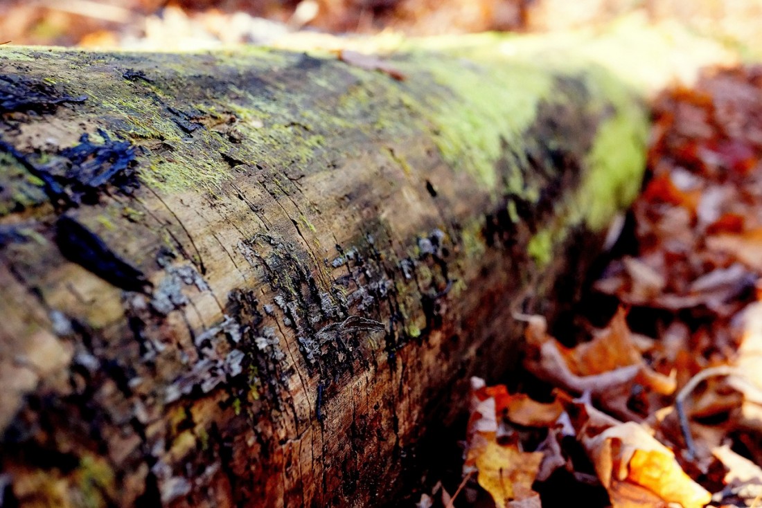
Attractions. A good, dirt-road surface makes this a non-technical mountain bike ride for advanced beginners and intermediate riders on cross-country bikes. Cyclo-cross riders will also like this loop. While the route is non-technical, it is pretty as it cuts through the forests and the foothills around Peshastin and Leavenworth. You’ll reach scenic viewpoints looking out over the Cascades as you ride the ridgeline between the North Fork of Derby Canyon and Eagle Creek. The ride is well shaded in summer and particularly scenic in fall when the broad-leaf maples, slide alders, and shrub maples bordering the roads flame with color.
Length. 17 miles as described. Ride the roads described in the ‘Access’ info below and you will add 6.5 miles (round trip) by starting in Peshastin or 18 miles (roundtrip) by starting in Leavenworth .
Elevation Gain. 3,250 feet.
Difficulty. Technical Difficulty: 1+ (advanced beginner). The route follows Forest Service roads that riders with a little mountain-biking experience can readily ride. Physical Difficulty: 2 or 2+ (intermediate to strong intermediate). Some of the climbs are moderately steep and reasonably long so suitable fitness is important for completing and enjoing the ride.
Access
- DEaD Ride (Derby Canyon start). Take the bridge from Highway 2 (milepost 103.6) into the town of Peshastin. Drive a few hundred yards (you’re on Main Street) to a T- intersection just beyond the railroad underpass. Turn right and parallel the Wenatchee River 0.8 miles before hooking hard to the left and entering Derby Canyon. Drive up Derby Canyon 2.5 miles (road turns to gravel after 1.2 miles) to a fork (Road 7400 on right, Road 7401 on left). Go left. In 100 or 150 yards, park in a lot on your left (el. 1425’) .
- ED Ride (Eagle Creek start). From the stoplight on the east end of Leavenworth, follow the Chumstick Highway (Hwy 209) north for 2 miles and turn right onto Eagle Creek Road (Road 7500). Follow Eagle Creek Road 6.8 miles to the junction where Road 7401 splits off on the right. Use wide spots in the road shortly before or about 0.1 mile after this intersection to park.
Trip Instructions (for DEaD Ride)
- Mile 0: Parking area on Road 7401 (el 1,425’)
- Mile 2.9: Spur road 7401-111 branches off to the left. Stay on main road.
- Mile 3.4: Smaller road splits off on right. Stay on the steeper, main road.
- Mile 3.5: Cross over the ridge. Enjoy the views as the road continues climbing and traversing NE.
- Pass a few spur roads taking off to the right (at mile 3.6 and mile 4.1). Keep going straight at these junctions, always staying on the better-traveled road.
- Mile 4.2: Reach the high point of this climb (3,400 feet). This is not a pass, the road simply starts dropping as it traverses.
- Mile 5: Take a hard switchback to the left and stay on the main road. A smaller spur road goes straight.
- Mile 7.9: Reach a junction with Road 7503 (a gated road) on your right. Go straight, staying on the road you’ve been following.
- Mile 8: Reach Eagle Creek Road (Road 7500). Turn right. This is where the loop starts if you’re doing the EDD ride (el. 2,230’).
- Mile 8.9: At a fork in the road, go right on the larger road.
- Mile 12: Reach a pass (el 3,520’) and an intersection at the pass. Go straight and start the descent down Derby Canyon. You’re on Road 7400 now.
- Mile 16.9” Junction with Road 7401. Turn right and ride 0.1 mile to the car.
Photo: Looking into Eagle Creek from high divide.

Maps. See our topo map below for more information. Print on 8.5”x11” paper in landscape mode.
Allowed. Mountain bikes and motorized vehicles are all allowed on this loop.
Permits. None needed.
Date: Info updated November 2008.
Leave It Better Than You found It. This should be every outdoor user’s goal. Pick up trash left by others, pull noxious weeds along your route, disperse old fire rings (they encourage more fires), throw branches over spur trails and spurs between switchbacks (make it harder to do the wrong thing than the right thing).
Disclaimer.Treat this information as recommendations, not gospel. Things change, conditions change, and those contributing these reports are volunteers–they may make mistakes, or may not know all the issues affecting a route. You are completely responsible for yourself, your actions, and your safety. If you won’t accept that responsibility, you are prohibited from using our information.

