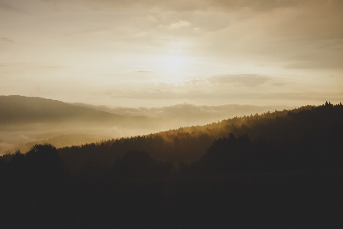

Attractions. A walk, mountain bike ride, cross-bike ride, or even a trail run on good dirt roads to a summit with a commanding view of the hills and dales around Blewett Pass. The road climbs relentlessly and sometimes quite steeply. It’s easy to walk but will tax muscles powering bikes. On the descent, the tables turn and the long plod downhill is tedious. On a bike, however, the return is nearly effortless and it’s mainly a workout for the gripping muscles clamped to brakes.
Skill: 1 (easy) for walking, 2 (intermediate) for biking
Fitness: 2+ (strong intermediate) for hiking and biking
Distance: 11.5 to 12 miles (round trip)
Elevation. Start 2,670 feet; top 5,460 feet. Gain about 2,800 feet.

Access. From the Big Y Junction, drive south on Highway 97 about 12.5 miles. At milepost 172.5 take a right on the Scotty Creek/Blewett Pass Road #7320 and drive 0.75 miles before turning right onto Road 7322. Immediately cross a small bridge after turning and drive about a half mile farther. Park on the right side of the road at the gate blocking cars from driving farther up the North Shaser Creek Road (#7322).
Trip instructions.
- From the parking area, go around the gate and walk the road up North Shaser Creek (Road 7322).
- After 1.3 miles, reach another gate (Waypoint 1) and take the right fork onto Spur 7322-400 that climbs steeper (the left fork keeps following the creek and is not as steep).
- Keep following this spur for 4.2 miles to a saddle (el 5,200’) just south of Iron Mountain. Note: At Waypoint 2 a road intersects the spur you’re following. Remain on the road that is climbing steeply and that makes a switchback right after the junction (the wrong road will have you making a descending traverse to the east).
- At the saddle, find the trail following the south ridge toward the summit. Motorized vehicles are not allowed on this trail. Follow the this trail for a few hundred yards before it peters out. Keep following the ridge to the summit. There are some rock outcrops and crags near the summit, but there is an easy walking route to the top – look around more if you find yourself hitting areas requiring you to scramble.
- Return options 1) Retrace the ascent 2) Mountain bikers may also want to attempt the route drawn on the map using roads dropping to Negro Creek at Waypoint 5 (this about 0.75 miles off our map). Turn right and ride down Negro Creek back toward Highway 97. At Waypoint 6 scramble a bit and ford the creek to get back onto Highway 97. Then ride uphill along the highway to return to the car. Our reporters have not actually ridden this route so we suggest it as a possibility rather than something we know about. If you do this portion of the ride, please email us with the details so we can tell others what to expect. This route follows trails and 4-wheel-drive roads and crosses the creek several times so it should be considered a late summer or autumn route.
Map. See our topo map.

Allowed. Hiking, mountain bikes, cross bikes, pets, horses, dirt bikes, ATVs and snowmobiles (in winter).
No t allowed. Normal passenger vehicles, trucks, Jeeps, normal 4-wheel drive vehicles…
Seasonal info. This road gets some dirt bike and ATV traffic throughout the summer, but the amount of motorized use bumps up significantly after the first full week of September when the different hunting seasons starts.
Permits. None required.
Trip Reporter. Andy Dappen Sept 12, 2010
Leave It Better than You Found It. This should be every user’s goal. Pick up trash left by others, pull noxious weeds along your route, throw branches over unwanted spur trails, etc.
Disclaimer. Treat this information as recommendations, not gospel. Conditions change and those contributing these reports are volunteers–they may make mistakes or not know all the issues affecting a route. You are responsible for yourself, your actions, and your safety. If you won’t accept that responsibility, you are prohibited from using our information.

