Nice views over Wenatchee Heights and Columbia River Valley. Nice wildflowers in spring and early summer. It’s much cooler up here during the heat of summer. There’s also a large elk herd up in this area.
Maps: USGS 7.5-minute series 1) Wenatchee Heights 2) Colockum Pass
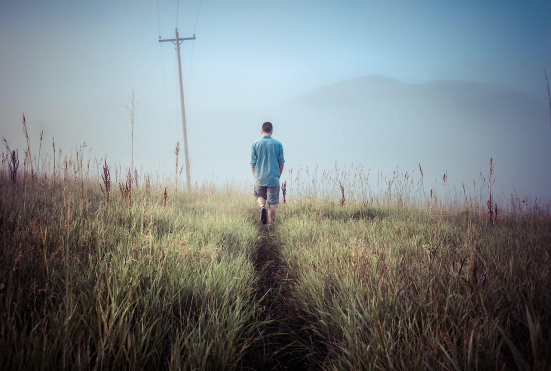
Activity: Mountain Biking
Nearest Town: Wenatchee
Skill Level: 1 –One plus or two minus ride. Technically fairly easy.
Fitness Level: 3 –Two plus or three ride.
Distance: Round-trip distance of 21 miles.
Elevation gain: 2820 feet to 5860 feet (3,040-foot gain).
Recomended Season: Late spring, summer, fall
Access:
Head south out of Wenatchee following the Columbia River on the Malaga Alcoa Highway. At the highway’s 3-mile mark, turn right on the Stemilt Creek Road. Go 3-miles and stay left at the Y, following the Stemilt Hill Road. Go 2.6 miles and at the intersection turn right onto the Stemilt Loop Road. Drive another 2.2 miles and turn left on Jumpoff Rd. Park at the base of this road.
Trip Instructions:
Follow Jumpoff Rd uphill. It climbs for 1.75 miles then flattens out.
–2.16 miles—turn right up a steep road following powerlines. Some riders will end up pushing their bikes uphill.
–2.84 miles—turn right on a larger dirt road. This road follows the powerlines uphill but is more ridable because it zig zags rather than charges straight uphill.
–4.2 miles—Y in the road. Stay on left branch.
–7.8 miles, (5170 feet), shortly after crossing into Kittitas County, look for Schaller Road branching off to the right. Later, you will return to this intersection and follow this road downhill. For now, go straight ahead, following the powerlines.
–10.4 miles. Reach the top of the climb (elevation 5860 feet) at a major intersection called Four Corners. Going right follows the Naneum Ridge Rd to the top of Mission Ridge. Going left takes you toward Colockum Pass.
Return Trip:
–00 retrace ascent
–2.6 miles– turn left on Schaller Road. It’s flat for a short while then starts a long descent.
–6.94 miles—turn right at intersection. In 1.6 miles you’ll pass the parking area for Clear Lake on your left (nice place to fish or swim).
–9.58 miles—back to pavement. Turn right on Stemilt Loop Rd.
–10.4 miles—back to the car.
Cons/Hazards: Much of the ascent follows high-tension powerlines. The area is scenic but the power lines are ugly. The descent leaves the powerline road and is much prettier.
Other Issues: It can be surprisingly cooler here than in the valley. Bring a windshell.
Uses Allowed: Roads are open for both motorized and non-motorized uses. Land Ownership: Colockum State Wildlife Area
Fees/Permits Needed: None
Trip Reporter: Andy Dappen 6/11/05
Leave It Better Than You Found It: This should be every outdoor user’s goal. Pick up trash left by others, pull noxious weeds along your route, disperse old fire rings (they encourage more fires), throw branches over spur trails and spurs between switchbacks (make it harder to do the wrong thing than the right thing).
Important Disclaimer: Treat this information as recommendations, not gospel. Things change, conditions change, and those contributing these reports are volunteers–they may make mistakes, fail to give complete information, or may not know all the issues affecting a route. So forget about finger pointing: If things go wrong, you are completely responsible for yourself and your actions. If you can’t live with that, you are prohibited from using our information.
