
The Tieton River draining the east slopes of the Cascades some 25 miles northwest of Yakima is outside of the normal drive-to area we cover at the WenatcheeOutdoors website. But the Tieton is unusual: In September, a dam release from the Rimrock Reservoir (to benefit salmon runs) raises the river to exciting paddling levels. By this time of year, it’s the closest place we paddlers from Central Washington can find whitewater. So we’ve included paddling information for both the Upper (class 3+) and Lower (class 2+) Tieton because many of our local paddlers will want to make the migration to Yakima for a whitewater fix.
Attractions.
- For many paddlers this run is less about communing with nature and more about the non-stop paddling action. One local paddler I recently asked to join me on the sojourn to the Tieton considered it a rather soulless river (the unfortunate aftermath of building Highway 12) that had virtually no eddies and very few play spots. Once you were on the river, you were washed downstream through a channelized sluice at mach speeds. He said doing the river once was enough.
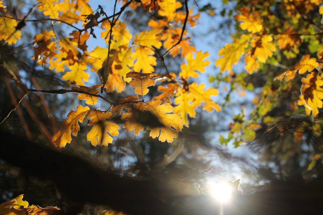
- While there’s truth to this assessment, boaters who want an adrenaline rush will find this river pretty darn fun. Furthermore, the scenery — in those few moments when you peel your eyes from the oncoming waves or sweepers — is pretty darn pretty. Many beautiful walls (some with long basalt columns, others with columns that have been uplifted, twisted, and then shaved at odd angles) flank the canyon. At water level oaks, poplars, alders, cottonwoods, ponderosa pines, Douglas firs, and even a few crabapple trees create a green ribbon that contrasts dramatically with the rust-colored walls and yellow-grass hills of the desert. I found the river more scenic than my friend had cast it.
Why the Water Release?
- Each year around September 1 the Bureau of Reclamation begins its the annual “flip-flop” operation in the Yakima Basin by reducing flows in the upper arm of the Yakima River and increasing flows in the Naches River with increased water releases from Rimrock Reservoir. The purpose of the flip-flop is to encourage spring Chinook salmon to spawn at relatively low flows so that less water is required during the winter to keep the egg nests, also known as redds, covered. This water operation also reduces impacts on irrigation water supply during the next season.
- Flows from the Cle Elum Reservoir are gradually decreased from over 2,500 cubic-feet-per-second (cfs) down to 200 or 250 cfs by about the middle of September. Meanwhile, flows from Rimrock Reservoir are increased from a trickle to about 2,000 cfs by mid-September. Sometimes, depending on irrigation demands and weather factors, flows reach 2,200 to 2,400 cfs.
- Sometime in mid-September, the flow on the Tieton reaches its maximum and then the flow starts getting squeezed by around 100 to 200 cfs a day. The boating season is typically over by late September.

Difficulty of Lower Tieton: 3 to 2+ (depending on put-in). The Tieton is not the typical river most of us boat. The rapids on the Lower Tieton, rated singly, are mainly class 2 with a few class 2+ or 3- drops thrown in if you use our higher put-in. If you tip, don’t have a bombproof roll, and swim, you’re quickly in trouble. Between the lack of eddies and the abundance of brush, branches, and logs flanking the river, there is plenty of danger. If you swim there’s a high likelihood you’ll need to abandon your boat and simply take care of yourself. All of this means that a good roll is imperative. The ability to read the river on the fly is also important. Because standard difficulty ratings are somewhat misrepresentative of the consequences of swimming, you should be a solid Class 3 boater to run the Lower Tieton.
Gradient: 50 feet per mile
Length: Roughly 12.5 river miles with our higher put-in, 8.5 miles from lower put-in
Put -In: Mile 173.5 or Windy Point area
Take-Out: Mile 185.2 at bridge by the confluence of Tieton and Naches rivers.
 River Flow Info. Flows of 1000cfs are generally considered to be the minimal flow needed to raft the river. Kayakers can probably squeak by with a little less water. Generally flows in the 1,700 to 2,000 cfs range are preferred. For river flow info, check the prerecorded info from the Bureau of Reclamation: 509-575-5854. Or use these links: 1) http://www.usbr.gov/pn/hydromet/yakima/index.html (then click on ‘Current Data’ and then on ‘Rimrock Lake.’ 2) Go directly to this river gauge.
Usage. The river gets heavy use on September weekends–it’s more of a circus than a church. Weekdays in September are relatively quiet and those disliking ‘scenes’ should use a mental health day to enjoy the river.
Access. From I-82 on the north end of Yakima, follow Highway 12 west toward Naches. In 17 miles, branch left on Highway 12 at the junction of Highway 410 and Highway 12. From this junction, it is about 12 miles to the higher put-in for this stretch of river, about 8 miles to the lower put-in.
Mileages. The Tieton follows Highway 12 quite closely (it’s a channelized river now). We’ve used highway milepost figures as a way to identify landmarks, rapids, camping spots etc. Use the drive to the put-in to scope out the river.
Higher put-in for the Lower Tieton (adds extra 2+ rapids)
- Mile 173.5 Primitive camping area and location of Waffle Wall Rapid, so named for the waffle-shaped retaining devices stabilizing the right bank of the river. There are holes on both side of the river upstream of the waffles. Enter the rapid more toward the right but with a left-facing angle to paddle away from the wall. The river mellows out a bit below Waffle Wall (a few 2+ rapids before Windy Point Campground), so this is also a good place to start a river run of the Lower Tieton. There’s a good entry point (a touch brushy but still easily accessed) across from Waffle Wall but immediately downstream of the whitewater action. There are several excellent primitive camping sites here as well.
- Mile 174.5 An exciting, 2+ rapid that will grab the attention of paddlers doing the Lower Tieton.
- Mile 175.6 Primitive camping on right of road (as you’re headed down canyon).
- Mile 176.3 Primitive camping on left of road (as you’re headed down canyon).
- Mile 176.5 Primitive camping just before the first of two bridges the highway (and river) cross in quick succession. Popular spot with Honey Buckets.
Lower Put-In (the largest rapid is a long Class 2+ or 3- locate at a river bend where the river leaves the highway near Mile 182.7)
- Mile 177.1 Second bridge. Excellent place to enter the river immediately downstream of bridge on river left.
- Mile 177.3 Windy Point Campground (fee area). A popular take-out for the Upper Tieton and put-in for the Lower Tieton.
- Mile 179 Oak Tree Wildlife Area buildings.
- Mile 180.7 Primitive camping left and right of road.
- Mile 183.3 Footbridge across river accessing popular climbing cliffs.
- 184.25 Tim’s Pond. Picnic area with outhouses.
- 185.2 Highway 12 bridge across Naches River. Good kayaking take-out for Lower Tieton. Exit the Tieton on river left by pulling into the slack water of the Naches at the confluence. Paddle 75 yards upstream to the bridge. Exit on river right (your left as you paddle upstream). Lots of undeveloped land here for paddlers who want to hide a bike for a bike shuttle. The highway has a decent shoulder making this an easy bike shuttle (8 miles back to Windy Point Campground and 12 miles back to Waffle Wall).
Land Managers. The land flanking much of the Tieton River is managed by the Wenatchee National Forest. Some of the lands are also part of the Oak Tree Wildlife Area.
 Camping. There are several Forest Service fee campsites with flush toilets and running water along the Tieton and these include Windy Point, Willows, and Hause Creek campgrounds. In September, most of the weekend spaces at these campgrounds will need to be reserved in advance. There are also many no-fee primitive camping areas along the river and a few of these are noted in our mileage figures. Some of the primitive areas have Honey Buckets to handle human waste, most don’t. Bring your own ‘groover’ (portable toilet). If you don’t have a portable toilet yet, you should — especially for camping in high traffic areas like the Tieton. Read our article ‘Going in the Woods’ to get yourself properly outfitted. Also, bring water for primitive camping and be aware that fires are prohibited at all the primitive camping sites.
Permits. No permits are needed to run the river but some campgrounds require fees to park and launch.
Leave It Better Than You Found It: This should be every outdoor user’s goal. Pick up trash left by others, pull some noxious weeds along your route, throw branches over unwanted spur trails, don’t ride or walk wet trails when you’re leaving ruts/footprints deeper than ¼ inch…
Disclaimer. Treat this information as recommendations, not gospel. Conditions change and those contributing these reports are volunteers–they may make mistakes or not know all the issues affecting a route. You are responsible for yourself, your actions, and your safety. If you won’t accept that responsibility, you are prohibited from using our information.
