General Info. McGregor Mountain (8,122’t) sits at the end of the Stehekin Valley and is a fairly steep 7.5-mile hike up from the road accessing it. The first 6.5 to 7 miles of trail leads to Heaton Camp. From this camp it’s another 0.5 mile to the top with the final quarter mile being a tricky, exposed scramble. Non-climbers may want to stop here. From the top there are big views of the North Cascades, including high peaks like Bonanza, Glacier and Dome.
Access. Take the Lady of the Lake (boat) up Lake Chelan to the town of Stehekin. From there you can get a shuttle ride to the Ranch and then walk to High Bridge (2 miles). From High Bridge you can walk about 0.5 miles to Coon Lake (fairly steep), or you can walk a ways up the road to the trailhead for the Old Wagon Road, take a right, and go to Coon Lake. From Coon Lake look for the signs and trailhead for McGregor. Info about Lady of The Lake.
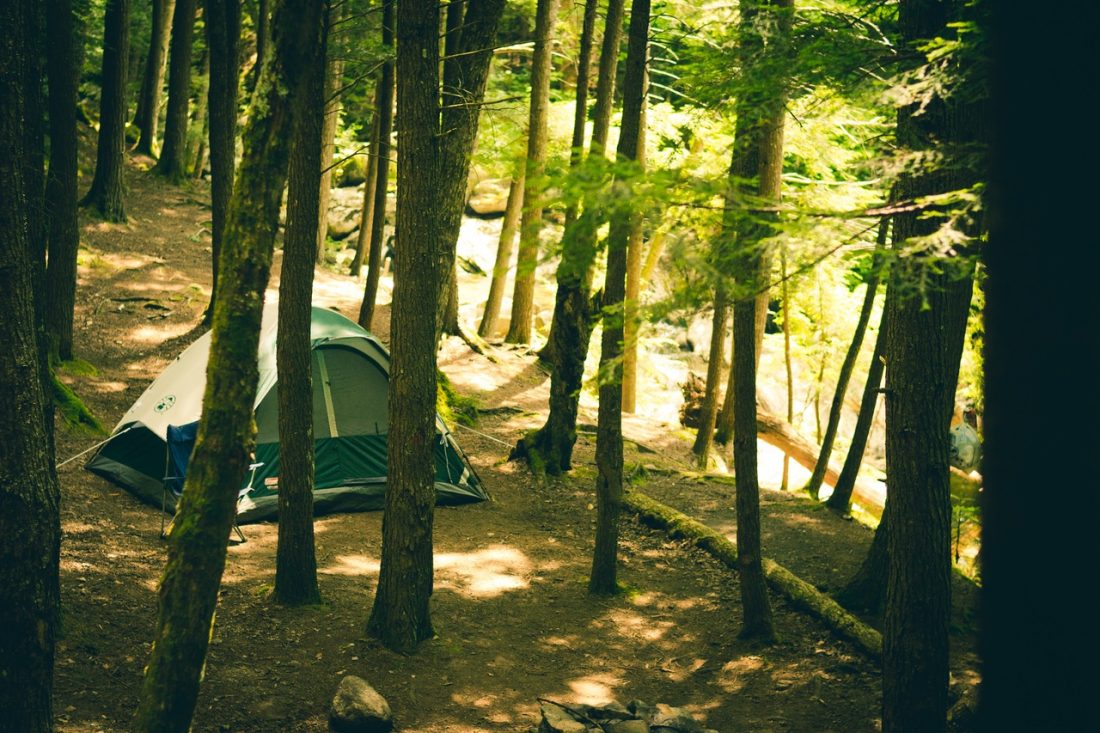
Camping. Some people do McGregor as a long day trip with lots of elevation gain. As an overnighter camp at Heaton Camp which is close to 7 miles from the trailhead and sits at 6500-foot level. A permit is needed to camp here.
Best Season. Mid to late summer when the snow has melted off the top.
Map: See map below for more information. (To print, use 8.5’x11” portrait/landscape or 8.5”x14” portrait/landscape).
Note: use ‘Print Preview’ before printing to properly scale this map to a full sheet of paper.
Nearest Town: Stehekin on Lake Chelan
Skill Level: 3+ if you consider this a hike, 1 to 1+ if you’re a mountaineer and are evaluating this as a climb.
Fitness Level: 3 (advanced, especially if done as a day trip)
More info from the National Parks.
Leave It Better Than You Found It. This should be every outdoor user’s goal. Pick up trash left by others, pull some noxious weeds along your route, throw branches over unwanted spur trails, don’t ride or walk wet trails when you’re leaving ruts/footprints deeper than ¼ inch…
Disclaimer. Treat this information as recommendations, not gospel. Conditions change, and those contributing these reports are volunteers–they may make mistakes or may not know all the issues affecting a route.You are still completely responsible for your decisions, your actions, and your safety. If you can’t live with that, you are prohibited from using our information.

