
Photo: The turns of mid-June on Reynolds Peak.
by Andy Dappen
For each of us, the math determining when our ski season ends varies. For me at least half of the vertical gain of a day trip needs to be on planked foot to make those pig boards worth the shoulder pain of toting them up to snow country.

Coron Polley genuflecting to deadfall. Forests are a lot more fun to ski when you can actually ski them.
While walking the brushy trail up Reynolds Creek on a mid-June approach of Reynolds Peak, the third highest summit in the Chelan-Sawtooth Wilderness, our packs are unpleasant with weight that bites the shoulders and antlers that snag the fallen trees spanning the trail. Roughly four miles up the trail at an elevation of 5,000 feet, the transition from dirt to snow begins. Sneakers get swapped for ski boots when we leave the trail and start kicking steps directly up the steep northeastern slopes of the mountain. Steps kicked into firm snow make an efficient escalator and the snowpack fattens quickly as we climb. At the 6,000-foot level, the angle of the slope tapers off a little and we decide skis on the feet will be more efficient than skis on the pack. We switch modes and over the next 90 minutes climb another 2,000 vertical feet to reach Reynolds’ North Summit.

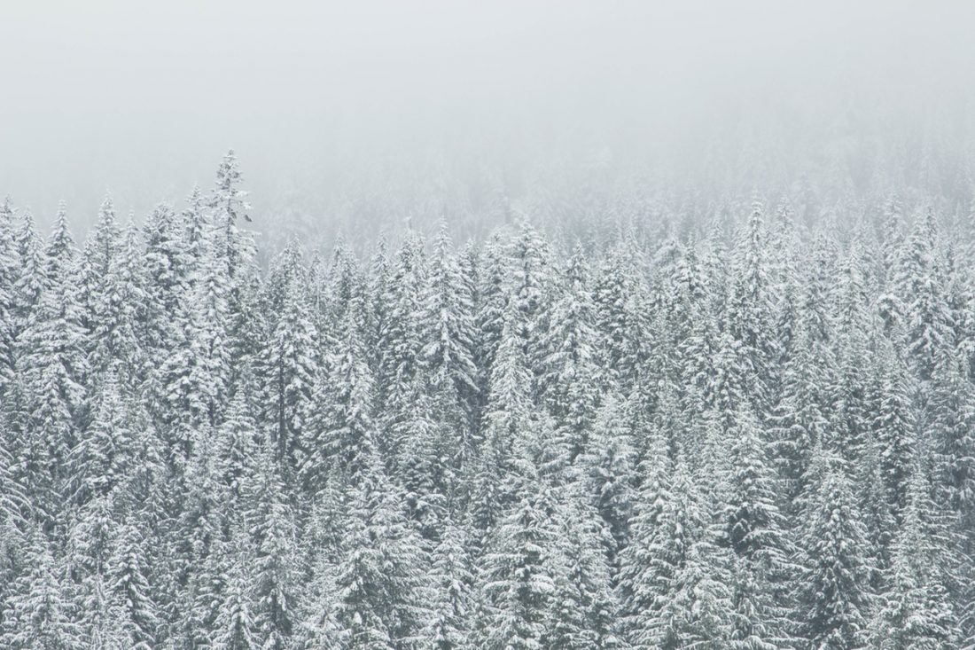
Photo: Looking for the North Summit.
The summit is socked in and we see the same thing whether our eyes are wide open or closed shut. We wait 30 minutes on top, hoping the wind will dissipate the clouds. Instead, it brings horizontal drizzle that glosses our raincoats and smudges our sunglasses. We flee.
While the weather may be hideous, the snow such a hag has brought to the slopes is beautiful. The body of the snowpack is firm from months of consolidation, but its skin is soft and smooth. In this unlikely medium the skis are instruments of flight and, with little effort we drop 2,700 vertical feet in under 15 minutes. The skis pop off while we scramble a rock band booby trapped with slide alder. Then they’re on again as we descend a few hundred more vertical feet before the magic ends. All told, a touch more than half our vertical has been slain by skis.

Left: Coron bleeding his last turns from the season. Right: Out of the cloud cap and into the clear.

Skis and boots strap back onto the pack and, with two hours of walking ahead of us now I’m dreaming how pleasant it would be to stroll the trail with a small, light pack rather than with this beast. The totter of this season may have just teetered for me. There have been no words between us on the topic, but apparently my partner, Coron, and I share a mind link. He grunts as he lifts this pregnant pack. As he tightens straps to begin the slog back to the car, he comments, “This will probably be the last ski trip of the season for me.”
 Photo: Crossing Reynolds Creek at the 5,100-foot level.
Details, Details: Skiing/Climbing Reynolds Peak.
Reynolds Peak has a double summit with the lower (North Summit) pricking the sky at 8,384-feet and the higher (South Summit) topping out at 8,512 feet. Being one of the highest peaks in the Chelan-Sawtooth Wilderness (Starr and Oval are both higher) and occupying the boundary between Chelan and Okanogan counties, the peak is said to yield big-picture views of Central Washington. We can’t corroborate that rumor but can tell you that clouds seem to enjoy this airy perch. Access to Reynolds Peak via the Twisp River Road places it more than an hour’s drive from the Wenatchee Valley. However, with half of the mountain being located in Chelan County, this peak is clearly one local backcountry skiers, mountaineers, and adventurous hikers will want to scale, so we include it.
Elevation gain: 5400 vertical feet
Difficulty: 3 (advanced) for backcountry skiers; 1+ or 2- (advanced beginner) for mountaineers.
Fitness: 3 (advanced).
Access. From Twisp, drive west (upriver) on the Twisp River Road (Road 44) for 18.3 miles; then veer left on Road 4435. In 0.3 miles, cross the Twisp River. Turn right after the bridge, staying on Road 4435. Drive 1.1 miles upriver and turn left on Spur 4435-015. Reach the trailhead in another 0.3 miles. Elevation of trailhead: 3,170 feet. Because there are no amenities at this trailhead, a NW Forest Pass is no longer required to park here.
Map. See map below for more information.
Trip Instructions:
- Hike the trail for about 4 miles. At an elevation of 5,100 feet, leave the trail and contour through old growth forest (easy walking) toward Reynolds Creek. Cross the creek on a log – we found several suitable large logs at this elevation. Once across the creek, make an ascending contour to the left. Note: On subsequent summer trips we’ve found leaving the trail at 5,300 feet makes a better crossing — the trail comes right next to the stream. After crossing, make a slightly ascending contour to the southeast and skip down one bullet point.
- Once you reach the steep northeast-facing slopes, stay in the old-growth forest on the climber’s right side of these steeps for about 150 vertical feet — this will keep you out of slide alder at the bottom of the slopes.
- At about 5,300 feet, work upward and left toward a small gulley that has water running down it. Near this gulley (at the 5,400 foot level), scramble up through rock bands and slide alder for about 150 vertical feet (unpleasant). Above 5,600 feet, the going is better…and keeps getting better as you climb. Follow the map (or your nose) up to the pass between the two summits.
- The North Summit (8,384 feet) is lower but non-technical to reach. Just follow the ridge north to the high point.
- The South Summit is reputed to be class 3 or class 4 from the low point of the pass between the two summits (8,180 feet). From here, Beckey’s Cascade Alpine Guide states, “Find a gully leading to the east (skyline) spur. Here a distinct rounded rib leads to the summit.” From what we could see of this summit, we thought cornices might be capping some of the gully systems leading upward.
- A less technical means of reaching the South Summit is to cross Reynolds Creek at an elevation of 4,750 feet and follow the line on our map up the tributary of Reynolds Creek draining the southeastern slopes of Reynolds Peak. Reach the summit as shown on the map via these eastern and southeastern slopes. This route is reputed to be a bit brushy down low, quite steep above the lower forests, and non–technical except for a few hundred feet of third class scrambling near the very top.
Hazards. All routes shown on our map are exposed to avalanches — know the snow conditions and stay off these slopes when they might be hazardous.
Condition Update. As of June 17, 2012 the trail up Reynolds Creek hadn’t seen a chainsaw crew or a brushing crew for a few seasons. The route was easily passable but brush is encroaching on the sides of the trail and there was a moderate amount of deadfall across the trail that had to be hopped over or walked around. This was usually easy but there were places where the deadfall was inconvenient to circumvent.
Leave It Better Than You Found It. This should be every outdoor user’s goal. Pick up trash left by others, pull some noxious weeds along your route, throw branches over unwanted spur trails, don’t ride or walk wet trails when you’re leaving ruts/footprints deeper than ¼ inch…
Disclaimer. Treat this information as recommendations, not gospel. Conditions change, and those contributing these reports are volunteers–they may make mistakes or may not know all the issues affecting a route.You are still completely responsible for your decisions, your actions, and your safety. If you can’t live with that, you are prohibited from using our information.

