
Chiwawa’s East Peak (elevation 8,134 feet) is an unassuming little summit, with an appealing alpine-like appearance from Spider Meadow. What makes the peak interesting is the setting: it gives the best view of Lyman Basin and the distant peaks, and the hike above the trail passes through beautiful benches, with rock gardens and multiple cascades. In early summer (our trip was June 26, 2009), the approach—even the meadow itself—is empty of the normal summertime throng of visitors.
Of course, there is still considerable snow on the trail for the last half-mile before Spider Meadow, and the section above the meadow that climbs through the forest is largely snow-covered, but for the most part it’s a fine walk. The peak is a scramble requiring only basic mountain-travel skills, an ice axe, and perseverance. We did it in a day, but a day-and-one-half would be a nice compromise for those with more time. Currently there are a few logs across the trail, but the stream crossings are good for this time of year. We were able to cross all the streams with a quick-step and rock hop, and avoided taking off our boots. And there wasn’t a sign of a bugs… yet! Last winter’s avalanches have brought some significant changes to the area–in places large stands of trees have been decimated by the huge slides released by the sudden and drastic chinook weather in January.
Details, Details: Spider Meadows and East Peak of Chiwawa
 Attractions: Views, flowers, overall beauty. This is relatively easy summit for hikers to bag amidst a spectacular setting.
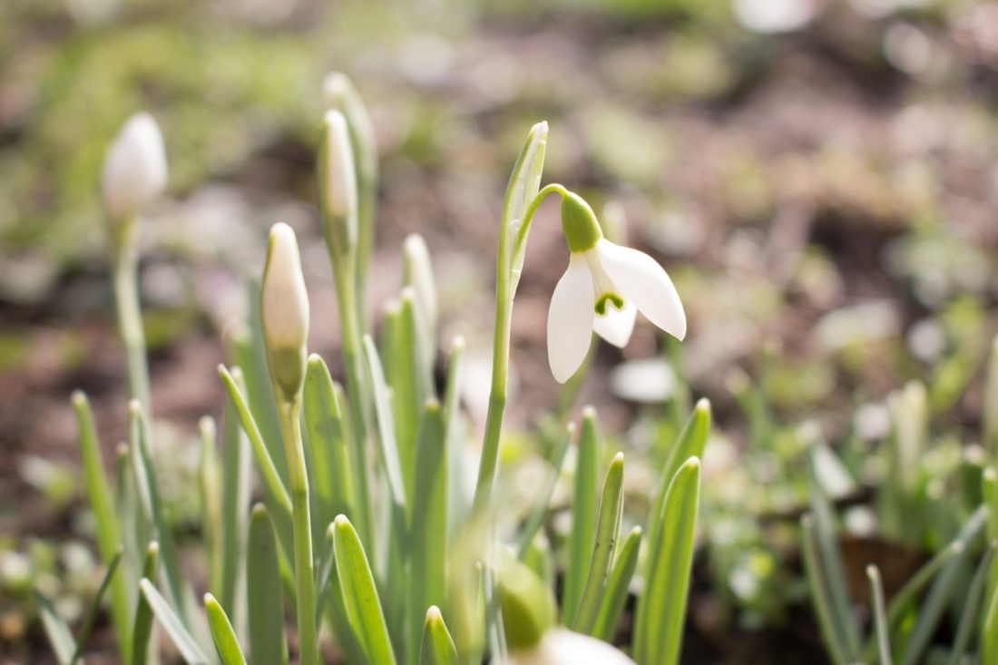
Photo: Anemones.
Length: Roughly 16 miles roundtrip. Elevation Gain: 4,600 feet.
Fitness: 3 (advanced) as a day trip, 2 (intermediate) as an overnight trip.
Access. Follow Highway 2 to Coles Corner, then drive 4.4 miles on Highway 207 in a northeasterly direction past Lake Wenatchee State Park to a bridge crossing the Wenatchee River. Shortly past the bridge, leave Highway 207 by staying right at a fork and then veer right again at the next fork onto the Chiwawa Loop Road. About 5.75 miles from Coles Corner, the Chiwawa Valley Road branches off to the left (maps also refer to this as the Meadows Creek Road). Turn left and follow the road about 2.7 miles to a bridge across the Chiwawa River. Cross the river and, about 0.3 miles later, curve left (remain on the paved road). The paved road becomes State Highway 3, which is also called the Chiwawa River Road. Keep following this in a northwesterly direction and (about 8 miles from the bridge across the Chiwawa River) the road turns to gravel. Go another 10.75 miles and, at a prominent fork, veer right onto the Phelps Creek Road. Drive uphill more steeply for 2.25 miles until the road ends at the trailhead (elevation 3,500 feet).
Topo Maps: See maps below for more information.
Note: Map 2 does not actually have the route to the top of Peak 8134’ marked.
Trip Instructions:
- From the trailhead (elevation: 3,500 feet) walk up to Phelps Creek to Spider Meadows.
- Keep following the route on our map as if you were going over Spider Gap. At the base of what the map calls Spider Glacier (where the line on Map 2 turns green), head in a northwesterly direction following the easiest route uphill to the top of Peak 8134’ . This peak is along the East Ridge off Chiwawa Mountain and is southwest of Spider gap. (Our map doesn’t have a route drawn to the top of the peak).
Equipment Needs: Normal hiking day kit or overnight backpacking gear. The summit is not really technical but an ice axe is recommended.
Permits: Northwest Forest Pass required at the trailhead.
Not allowed: Much of the trip is in the Glacier Peak Wilderness, so nothing motorized is allowed on the trails.
Reporter. Chester Marler, June 2009.
Leave It Better Than You Found It. This should be every outdoor user’s goal. Pick up trash left by others, pull some noxious weeds along your route, throw branches over unwanted spur trails, don’t ride or walk wet trails when you’re leaving ruts/footprints deeper than ¼ inch…
Disclaimer. Treat this information as recommendations, not gospel. Conditions change, and those contributing these reports are volunteers–they may make mistakes or may not know all the issues affecting a route.You are still completely responsible for your decisions, your actions, and your safety. If you can’t live with that, you are prohibited from using our information.
Photos: Summit views and avalanche damage from winter slides


