
by Andy Dappen
May Day Weekend — this year’s absence of a low snowpack in the Cascades limits the ski touring options around Central Washington. After studying maps, tossing out tours that are too low, and eliminating objectives we’ve skied too often, Tom Janisch and I settle on something we both fancy: a Nason Ridge Traverse from the Merritt Lake Trailhead to the Round Mountain Trailhead.
My wife asks what we’ve decided upon as I prepare to meet Tom at 6 in the morning. I explain the traverse, a route she’s somewhat familiar with, having hiked parts of it in summer. I describe the traverse below Alpine Lookout as the crux – the steep south-facing slopes could be avalanche prone or solar melting could produce rock islands that frustrate skiing. I explain how we’ll use a mountain bike to retrieve the car. And I tell her snowy or gated roads could add four or five miles of bipedal plodding to the mix. She listens to the agenda and the variables that could create a slog-fest, “And this sounds like fun to you?”
The next morning our expectations for a fun day rise when Tom and I are able to drive three miles up Forest Road 6910 by Butcher Creek. Snow stops us about a mile from the Round Mountain Trailhead, and we leave a bike before driving to the opposite end of the traverse. Here, we find the the gravel road to the Merritt Lake Trailhead is entirely snow free.
As we strap skis to the pack, a cold wind shakes the forest and flurries of flakes swirl around the parking lot. “Powder on May Day!” Tom says, exuding his typical optimism.

We walk the trail for a mile and, at the 4000-foot level, step from dirt to snow on a line so obvious there might have been a sign stating, “Yo! No snow below this point.”
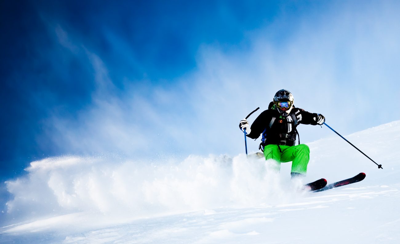
We don the skis and then work uphill, first through snow that is equal parts water and pine needles, eventually through clean snow coated with a quarter-inch of fresh on top. We discuss family as we go. Tom’s wife is using May Day to take in the craft fair that is part of Wenatchee’s Apple Blossom festivities. Tom recounts times of old when he dutifully accompanied Patti on such excursions. He moaned so incessantly about squandering a day looking at knickknacks that she banned him from future fairs. “Too bad!” he sniffs.
It’s a different subplot to the same theme governing our family. My wife will be watching the Apple Blossom Grand Parade today. I’m oblivious to the appeal of firemen walking beside their buffed engines, marching bands blaring their brass, middle-age men performing maneuvers on riding lawn mowers, and city politicos waving from the back seats of convertibles …. I tell Tom, “All my snide remarks have banned me from attending future parades.”
We cut below Merritt Lake and climb northeast to Nason Ridge. Then we start a long easterly traverse toward Alpine Lookout. At first, we contour gentle slopes but the steepness increases with distance. Eventually we’re side-hilling through the middle of slide terrain like hapless wooden pins, begging for a wet spring avalanche to bowl us down. We believe the day’s cool temperatures will make our passage safe, but a few pockets of steep snow are mushy enough to make us uncomfortable. The worry zones are brief and we don’t awaken the dragon.
“So who are the ‘normal’ ones here?” Tom asks.
I take in our precarious surroundings. Only the abnormal would utter this question here and now. But the question is to facilitate conversation, it’s not an invitation to slam my companion.
I draw on gender stereotypes to posit that perhaps through our explorations Tom and I are fulfilling the will of testosterone… just as our wives, in their choice of activities, are the zombies of estrogen. But my argument has holes. What is to be made of women who prefer ski touring to parading, and of men who favor parades over our tough-guy ordeals. If we’re not freaks of nature, are they?

From the Alpine Lookout (6,235 feet), our tour becomes a test of transitions: skins off, skins on, repeat. As we undulate over several vertebrae on the spine of the ridge, the transitions sometimes keep us from appreciating the ridge’s stunning setting. Almost directly below us to the north lie the blue waters of Lake Wenatchee, while 4000-vertical feet below our ski edges to the south is the green valley confining Nason Creek.

The yo-yoing continues until we crest Round Mountain. Finally we get a sustained descent from the top of this 5700-foot summit down through alpine glades and then through the silver snags of an old burn. Even though this tour has been more about scenery and mountain travel, the descent is a cherry to top off a challenging day. At the 4000-foot level, we ski onto roads where a little more sliding gives way to a mile of walking. At about 5:30 p.m. we reach the bike.

Tom embarks on an eleven-mile ride to fetch the car. I put on my down coat and roll myself into the cocoon of a tarp. Sleet pelts my nylon blanket as I sit under a stout Douglas fir. Around me the wind whistles like whitewater as it strains through the forest. I nod in and out of sleep, wondering who in their right mind would trade this potluck of nature for a city parade.
Details, Details. Nason Ridge: Round Mountain to Merritt Lake
Attraction. An interesting and scenic traverse along Nason Ridge. This tour is more about mountain travel, route finding, and scenery than it is about fall-line skiing.
Skill: 3 (advanced)
Fitness: 3 (advanced) if done as a day trip
Activities. Backcountry skiing and snowshoeing.
Distance. 11.5 to 12 miles from trailhead to trailhead with additional travel needed if roads are snowed over.
Elevation gain. If starting from the Merritt Lake trailhead, roughly 4,400 vertical feet with all the undulations added in. If starting from Round Mountain Trailhead about 3,400 feet with all the undulations.
Access to Round Mountain Trailhead. Drive Highway 2 west of Leavenworth. Continue several miles past Coles Corner (the junction with Highway 207) to milepost 82.25 and turn right (north) onto Road 6910. This gravel road is not well marked and is easily missed. If you reach the Nason Creek Rest Area you have gone about 150 yards too far. Turn around in the rest area and go back east. Once on Road 6910, drive uphill for 4.5 miles to the trailhead.
Access to Merritt Lake Trailhead. Drive Highway 2 about 23 miles west of Leavenworth to milepost 76.1 and turn right (north) onto the signed gravel road. Drive 1.5 miles to the trailhead.
Trip Instructions. The route generally follows the summer trails from trailhead to trailhead. Because the trails are snowed over in winter and difficult to find and follow, use of bearings and elevation points is more valuable. See the attached maps.
Variations. Besides traversing across this segment of Nason Ridge, consider visiting the area from either end on an out-and-back trip. From Road 6910, the trip up Round Mountain (or even Alpine Lookout), makes an excellent day trip that’s logistically easier than traversing. Likewise, from the Merritt Lake Trailhead, a trip to Merritt Lake and then an ascent of Peak 5,928′ (on Nason Ridge west of Alpine Lookout), makes an excellent day trip.
Maps: Map 1: Round Mtn to Alpine Lookout. Map 2: Merrit Lake to Alpine Lookout. Note: the bearings (which are all true bearings) assume you’re traveling from Round Mountain to Merritt Lake. Change these by 180 degrees if traveling the other direction.
Which direction to go? Skiing from Round Mountain to Merritt Lake has less elevation gain. It also lets you ski the steep traverse between Alpine Lookout and Merritt Lake in downhill mode. Going downhill lets you assess and cut avalanche slopes from the top (safer). It also helps you traverse across and down these slopes more quickly (shortening exposure time). Finally, when traversing, you have far more control than on skinless skis. Skiing the other direction is more challenging and gives you excellent turns through an old burn at the end of the day. If you’re doing the route earlier in the season when the access roads are snowed over, there may not be an elevation advantage to where you start.
Hazards. The steep slopes from Alpine Lookout to Merritt Lake cut across steep, south-facing, slopes. These slopes see a lot of avalanche activity so know when you can traverse them safely. If these slopes are firmly frozen, they could also be dangerous if you slip — ice axe and crampons are advised for firm-snow conditions.
Permits. A Northwest Forest Pass is needed to park at both trailheads. If you’re not parking at the trailheads (e.g., early season before you can reach them), no pass is necessary.
Trip Reporter: Andy Dappen, April 2010
Leave It Better Than You Found It: This should be every outdoor user’s goal. Pick up trash left by others, pull some noxious weeds along your route, throw branches over unwanted spur trails, don’t ride or walk wet trails when you’re leaving ruts/footprints deeper than ¼ inch…
Disclaimer. Treat this information as recommendations, not gospel. Conditions change and those contributing these reports are volunteers–they may make mistakes or not know all the issues affecting a route. You are responsible for yourself, your actions, and your safety. If you won’t accept that responsibility, you are prohibited from using our information.
