 Sarah Shaffer, Liz Dunham and Tana Shaffer (the beast) with High Pass in the background.
Marmot Chirps and Snow Daiquiris
by Sarah Shaffer
Once a year my good friend Liz and I make plans for a one or two night ladies backpacking trip. This is a very sacred, special trip for us because we both have daughters that are three. Our girls are six days apart and they have known each other since 3 months of age. First comes planning for the trip, which involves asking husbands or relatives to watch our kiddos. Logistics ensue, and luckily we usually figure it out.
This years’ trip was decided upon as a two nighter; location chosen was Buck Creek Pass in the Glacier Peak Wilderness. We left leisurely on Saturday morning after saying goodbye to our girls and husbands, seeking out coffee, and then hit the road.
Liz brushing her teeth after waking up from our first night camping in the high country. Glacier Peak is in the background.
 Because we are moms who both work and have young kids, we usually bring a load of supplies in the car and divvy the supplies once we get to the trailhead. After we realized that my child’s clean underwear behind the seat was not an item for our trip, we chose which water filter, camp stove, and tent to carry based on weight and how “iffy” the product is since they haven’t been used much in the last few years.
Then we were on the trail, both wearing beat up running shoes and using trekking poles. Verbal diarrhea ensued for the next four hours of hiking until we both hit a bit of a wall and wanted a break. Wondering if we were going to get some good views yet, and also wishing that a camping spot was nearby we trudged along, me ever so slowly while Liz sped up trying to find a camp spot.
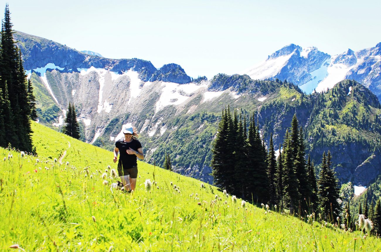
Liz frolicking in the high country. Tana is close on her heels.
 Two hours later we made home on the top of Buck Creek Pass with an uninterrupted view of Glacier Peak behind us. We ate top ramen for dinner (the salt and caloric value was much needed) and ate chocolate for dessert. With 12 miles under our belts we were worked and ready to hit the sack.
Neither of us slept much that night. Why, you may wonder? Because it was so quiet. We are so used to hearing our girls scream, cry, sing or babble that it was odd hearing nothing but silence. No wind, no rain, no crickets. No white noise machine from the kid’s room. The only thing we would sometimes hear during daylight hours was the call of the Marmot. A high pitch whistle, that can literally be heard for miles.
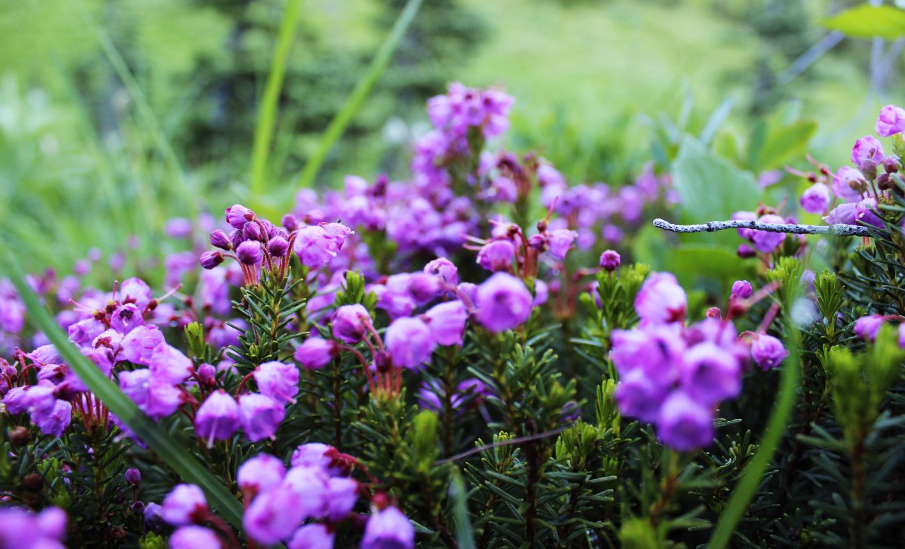
Mountain heather next to camp.
 So instead of sleeping the night away, we read books, drank rum in our tent, and talked about all sorts of random things. Various places in the world we have traveled, family dynamics, our children, the hard and wonderful things about being a parent, our bodies after having kids, work, our health, and food.
The next day we decided to leave our packs and head for Liberty Cap. This lovely viewpoint was only a couple miles from camp and with a roughly 2,000- foot elevation gain it was well worth the day trip. We frolicked in the fields of high alpine wildflowers, enjoyed watching my dog Tana check out the Marmots on the hillside, and summited Liberty Cap to enjoy a 360 view of snowcapped peaks.
After we soaked it all in, we headed back to camp to drink snow daiquiris and have lunch. I had never had a snow daiquiri, but Liz showed me how it is done. Snow from a nearby shady spot is mixed with lemonade packets, rum, and a bit of filtered water. They were delicious with the perfect amount of saltiness and punch of flavor. Little did we know that we would be hiking another 12 miles that day. We broke down camp and started off down the pass. I was a bit tipsy so I took the rear and thank goodness for trekking poles. They kept me steady!
On our way back, we had a specific spot in mind to camp at for our last night…unfortunately about a quarter of a mile off the trail from our very lovely chosen camp was a small wildfire smoldering. We decided for safety purposes to make camp at the trailhead next to our car in case we needed to head out in a hurry. This turned our leisurely day of hiking into a 16-mile day with a buzz from delicious daiquiris in the middle and chocolate at the end.
Picture taken on top of Liberty Cap with an amazing view of Glacier Peak in the background.

Liz and I both have our health issues. She has Type 1 diabetes, and I have a reconstructed abdominal wall, poor circulation in my feet and asthma. During our journey we checked in on each other about every hour while hiking, making sure we both were feeling ok.
While trudging the evening away, we talked about how important it is to have a good hiking partner for those long treks. Someone who checks in with you, who can keep you moving when you would rather take a nap. Someone who is optimistic, positive and funny. Believe me, this can really help on longer days of hiking with a pack. We also talked about the importance of mind over body. The older I get, the more I realize the value of this. Your body will want to quit, but you know if you can push through the pain, swelling, hunger, and confusion from needing food sleep and water that you will make it to your destination.
Life doesn’t get much better than this.

As I age, my body definitely is not in the shape it used to be. I was at my peak before I had my daughter. Since then I still can’t get rid of all the baby weight, and I don’t work out as much as I used to. An incredible asset I gained since my daughter was born is mental focus. We went through a lot to have our daughter, and the birthing was super rough. Since that I have learned that my mind has tremendous abilities to push through pain and fatigue and is really my strongest asset. Not my legs or my arms or my cardio ability, but my mind.
 Liz and I headed back to our families the next day after a leisurely breakfast in Leavenworth with fresh outlooks and excitement to see our little girls again. We have already started planning for next year’s backpacking adventure.
Details
Access. Follow Highway 2 to Coles Corner, then drive 4.4 miles on Highway 207 past Lake Wenatchee State Park to a bridge crossing the Wenatchee River. Shortly past the bridge, leave Highway 207 by staying right at a fork and then veering right again at the next fork onto the Chiwawa Loop Road. About 5.75 miles from Coles Corner, the Chiwawa Valley Road branches left. Turn left and follow the road 2.7 miles to a bridge across the Chiwawa River. Cross the river and, about 0.3 miles later, curve left (remain on the paved road). The paved road becomes State Highway 3, which is also called the Chiwawa River Road. Follow this in a northwesterly. In eight miles the road turns to gravel, then in another 10.75 miles (at a prominent fork). Go straight to Trinity (0.75 miles farther), veering right takes you up to the Phelps Creek Road. Northwest Forest Passes are needed for parking at the trailhead.
This trip report was written on 7/28/16 by Sarah Shaffer.
Skill Level: 2
Fitness Level: 3 if done as a backpacking trip.
Permits: Northwest Forest Pass required at the trailhead.
Not allowed: Motorized vehicles and mountain bikes verboten.
Allowed. Dogs and horses are OK.
Maps. See below for maps. For Liberty Cap see Map 2.
Trip Instructions. Start at Trinity and head up the Chiwawa River. About 2.75 miles up the trail veer left, and head another 9.25 miles up to Buck Creek Pass. From the pass, head left to switch back up to Liberty Cap which is a prominent peak right above Buck Creek Pass. If you are staring at Glacier Peak from Buck Creek Pass, Liberty Cap is just to the left of Glacier Peak and you can see the switch backs up the side of the hillside to meet up with High Pass trail. We decided to camp at Buck Creek Pass and then day hike the 2-2.5 miles up to Liberty Cap. You have to scramble the last .5 miles up to the top of the cap but it is doable with trekking poles and is a slope full of wildflowers, although steep.
Leave It Better Than You Found It. This should be every outdoor user’s goal. Pick up trash left by others, pull some noxious weeds along your route, throw branches over unwanted spur trails, don’t ride or walk wet trails when you’re leaving ruts/footprints deeper than ¼ inch…
Disclaimer. Treat this information as recommendations, not gospel. Conditions change, and those contributing these reports are volunteers–they may make mistakes or not know all the issues affecting a route. You are still completely responsible for your decisions your actions, and your safety. If you can’t live with that, you are prohibited from using our information.
Tana the happy dog.

This guide is sponsored by John Winnie, an ecologist, photographer, teacher and writer. When not on campus, he prefers to be out with his wife, Janet, and his cameras. John loves high wild places and has an upcoming photography tour which you can find more about here.