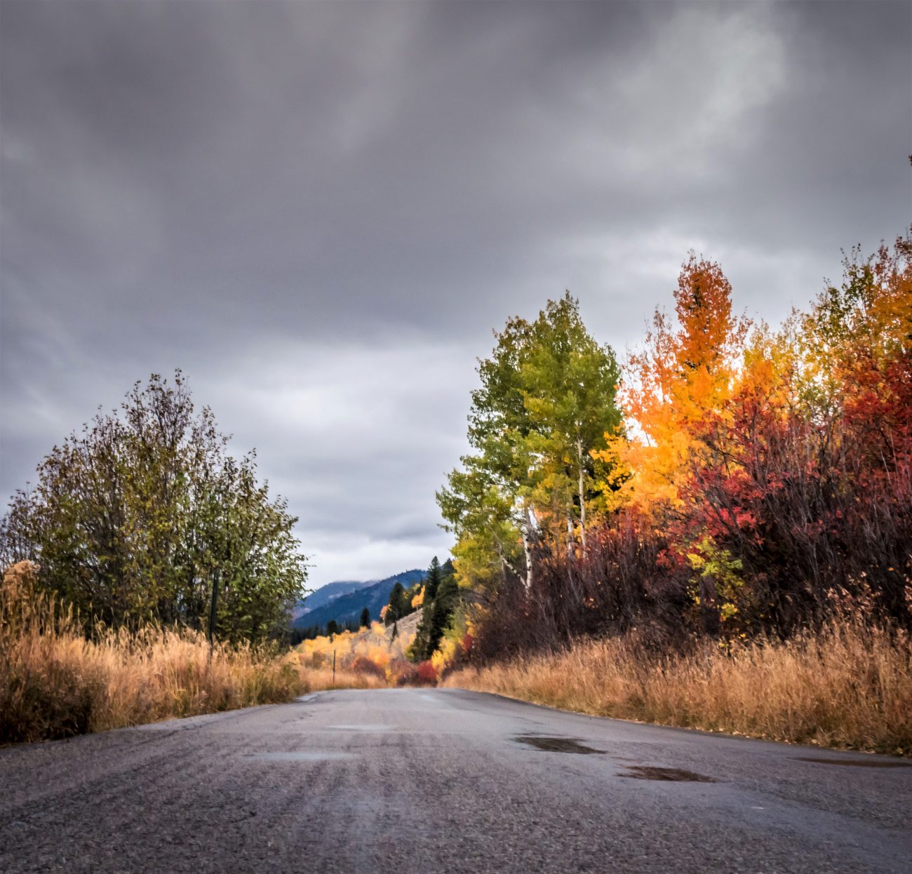
A fun short walk (or mountain bike ride) from the Bonaparte Lake Campground to rocky cliffs providing a very scenic overlook of Bonaparte Lake. The views from the top of the cliffs extend south into Central Washington, north into Canada.

Activities. Hiking, trail running, mountain biking
Fitness: 2- (easy intermediate).
Skill: 1 (easy, hiking); 3- (advanced, mountain biking). The trail is adequately signed and well-graded for walking. Most mountain bikers will need hike the bike up some sections of the trails and may need to walk the bike down short segments of trail that are rocky and more technical.Distance: 3.2 miles roundtrip.
Elevation Gain: 900 vertical feet.
Maps. See our topo map. (Use ‘Print Preview’ to scale the map before printing.)
GPS / Smartphone Users. Use this link to download a GPX file with the waypoints noted on our map. Download the file noted: ‘BonaparteLk-Hike.gpx’.
Access. At the south end of Tonasket, turn east on Highway 20 and drive 20.3 miles from Tonasket to Milepost 282.2. Turn left (north) on Bonaparte Lake Road (aka Road 32). There’s a good gravel parking lot at this junction if you want to use bicycles for the remainder of the approach. Drive 5.7 miles to the Bonaparte Lake Campground. Turn into the campground and then at the T-Intersection turn left again and park at the day-use, picnicking area. No permits needed. Starting elevation: 3,565 feet.
Trip Instructions.
Head west from the parking area past the boat launch and past a few campsites at the southwest end of the campground. A gravel road proceeds past the campsites — follow this for about 200 yards and look for a small sign noting the trail on your left. The sign notes that the trail is 1 mile long but folks in the Okanogan must be hardy– our GPS puts the trail at 1.6 miles (one way).
–The trail zigzags up east-facing slopes to the overlook. There are no turns ahead, just stick to the trail and you’ll climb to the overlook. The trail is narrow but well maintained.
–Just above the rocky overlook the trail intersects a double-track road (Road 3300-100). If you take a left turn and follow the road for 0.4 miles, you’ll reach the trailhead for the Southside Trail No. 308 leading to Bonaparte Mountain. It’s a long way up to the top of Bonaparte but to extend the length of hiking Pipsissewa, think about going a few miles up this trail (see ‘Bonaparte 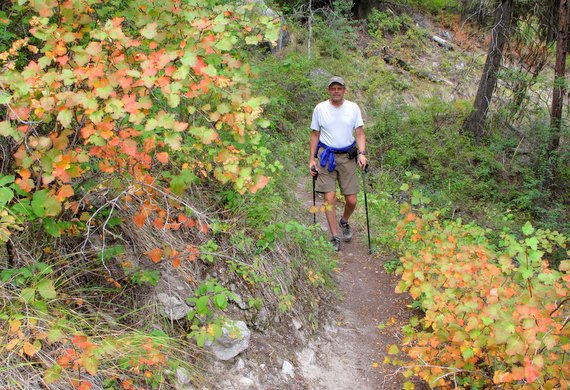 Mountain’ in the hiking guidebook for more details).
Return by retracing the route.
Allowed. Hiking, running, biking all allowed. Motorized use prohibited. Horseback riding not recommended.
Land Ownership. Okanogan-Wenatchee National Forest.
Fees/Permits. None needed as of August 2013.
Leave It Better than You Found It. This should be every user’s goal. Do no damage and pick up trash left by others.
Disclaimer. Treat this information as recommendations, not gospel. Conditions change and those contributing these reports are volunteers–they may make mistakes or not know all the issues affecting a route. You are responsible for yourself, your actions, and your safety. If you won’t accept that responsibility, you are prohibited from using our information.
This post was originally published on 8/2/14.

