words and photos by Mark Waechter
 through the woods. Climbs are moderate with dips to break-up the effort. You’ll find a few bridges over seasonal creeks that help eliminate mud, a rock garden section, and some switchback descents with sharp turns.
Skill: 2 (intermediate).
Fitness: 2 (intermediate).
Distance: 11-mile loop.
Maps: See our topo map.
Access. From the four-way stop sign in downtown Winthrop, head west on Highway 20. Continue west toward  Mazama for 8 miles, and turn right onto Goat Creek Road. Drive a short distance to the junction with East Fawn Creek Road, and turn right up the steep gravel road. Following East Fawn Creek Road, go to the intersection with Rendezvous Basin Road, above the Edelweiss development. Continue uphill about 200 yards to a point where the road curves to the right, and park in a wide spot on the right side, adjacent to the point where the trail ends (on the left) and begins (on the right). From Goat Creek Road to the trailhead is 1.9 miles. No permits are required for parking.
Best Seasons. The Rendezvous Basin route is a good ride from melt-out in April until the snow arrives in November.
Route description
Average ride time is about 90-120 minutes. Distance is about 11 miles and all single track!1. From the parking spot, start on the right, opposite from the trail finish, at the entry sign into single-track marked “Balance” and yellow bike sign, and a wooden sign marked “Rendezvous Basin”. The trail starts  smoothly and winds through reforested area (i.e. was logged a few years back).
2. After a switchback climb follow single-track to the right. Follow this section as it curves around the south side of the hill, with great views from a couple of open overlooks.
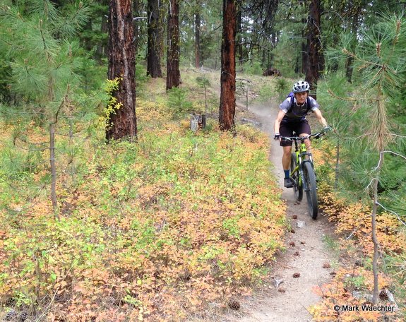
3. Rejoins old trail, turn right at junction and follow trail around big down tree and over 3 small creeks on ladder bridges. Continue, following the single track. This is the “$8 Rake” section.
4. Continue following single-track, well into the Grizzly Mtn Loop area. Cross a dirt double-track and continue following the trail markings on single -track. This winds around for about another mile, and eventually drops steeply onto a narrow dip, then up and quickly turns right, crosses a dirt road and onto single track again onto the “Raisin Bran” section.
5. Exit single track from “Raisin Bran” onto Gunn Ranch Road and straight across the road onto more 1-track. In a few yards look for the wooden sign marked “Witches Run” and follow the signs & markers. Follow the trail through  dense woods, and following more dense thickets (with a Blair Witch Project feel), you will reach a clear-cut. Follow the double-track along the edge (clear-cut and hillside on your right) and continue about ½ mile, watching for the points where the trail re-enters the woods on single-track immediately after a little dip. Continue on 1-track through more open terrain, basically following the broad ridgeline, then dipping sharply to the right and climbing up toward Gardner Hut on more single track.
6. At Gardner Hut, get back on single track on the other side of the hut, and ride through curvy and skinny trail for about ½ mile and finally curving to the left and up, crossing double track, then passing through a fence line (gate), and LEFT onto single track just on the other side of the fence. This fence line trail is called “Cub Tail”.
7. Follow Cub Tail, the fence line trail, across until it dumps out right at Rendezvous Pass. Cross the cattle grate and immediately look for single track to the right that heads toward Rendezvous Hut. This section of trail traverses above the road, then crosses road and circles clockwise around the crown of a knoll, then reaches Rendezvous Hut.
8. When you reach Rendezvous Hut, continue past the hut and onto the rocky single-track for another 200 yards, and look for the wooden sign marked “Brita” on the left side. Enter single-track here, and continue following single-track. Some very steep, loose and rutted descents are in this section; ride fast and take chances!
9. Road crossing here. Immediately cross the road and back onto more single-track. Look for wooden sign marked “Wave 2”.
10. The trail exits on the road directly across from the start.
Leave It Better than You Found It. This should be every user’s goal. Pick up trash left by others, pull noxious weeds along your route, throw branches over unwanted spur trails, and stay off the trails when they are muddy and you’re leaving tracks in the trail.
Trip Reporter and Date: Mark Waechter. First posted: 9/22/2014.
Disclaimer. These trails were created by cows. Maintenance is unofficial and appears to be the work of elves. The map is approximate; things change. This description relates my experience, but your trip may be different. Be prepared, capable, and self-reliant.
This post was originally published on 9/22/14.