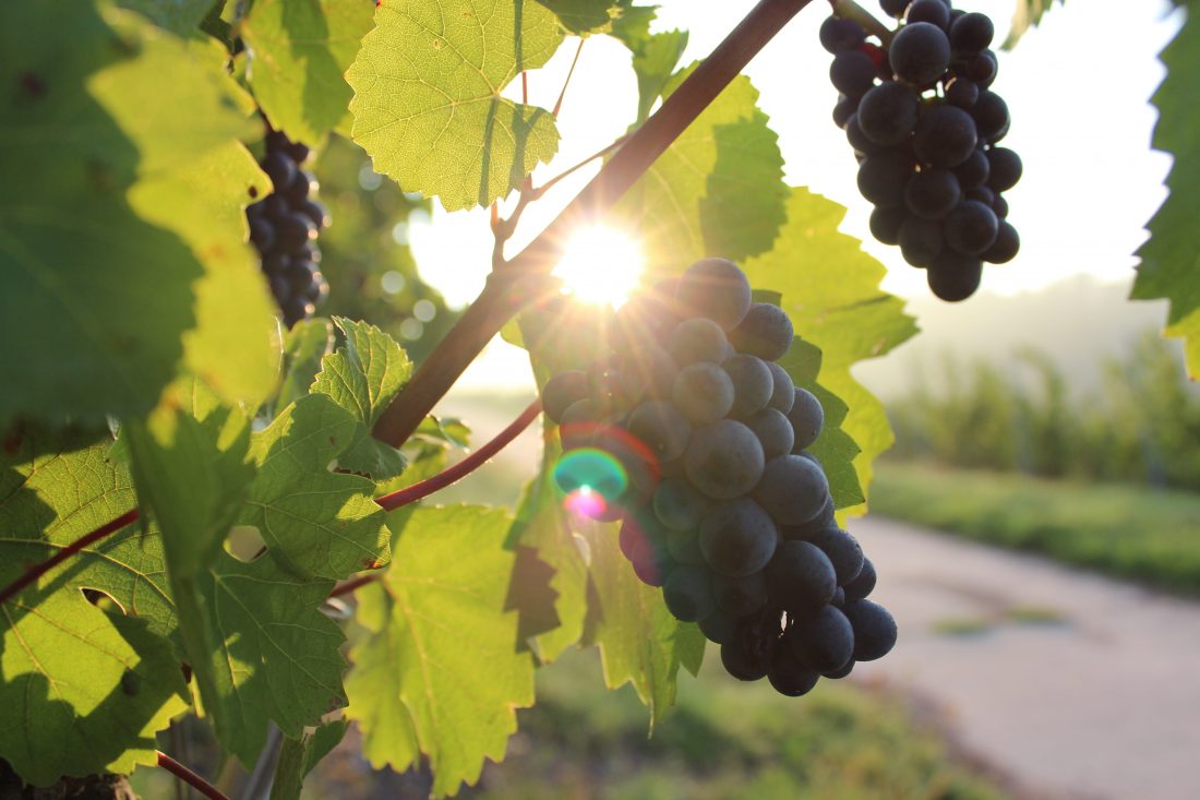

ATTRACTIONS: This ride is one portion of a tough but scenic century ride put on by the Lake Chelan Rotary Club each June. That event is called the Chelan Century Challenge. If you combine this ride with the McNeil Canyon Ride and the Manson Loop (also listed in this guidebook) you’ve got the century ride covered. Most riders will find this loop an adequate workout without adding the other two loops. They’ll also find the ride very scenic. It exposes you to the scenery of Lake Chelan, orchards, volcanic lava flows, vineyards, scenic views looking down on the lake, forest lands–a little of everything. It also gives you a moderate amount of climbing and, hence, some fast descents.
SKILL. 2 (intermediate).
FITNESS. 2 (intermediate).
DISTANCE: 30 miles.
ELEVATION GAIN: 2,000 vertical feet.
ACCESS. At the town of Chelan, follow Highway 150 north and west toward Manson. On the north end of town, park at Don Morse Park.
THE ROUTE:
–Ride Highway 150 west and a bit north out of town, heading toward the town of Manson along the north shore of the lake.
–After 1.5 to 2 miles, turn right onto Boyd Road and start climbing.
–About 2.5 miles farther, turn left onto Mandeville Rd.
–Follow Mandeville about 1.75 miles and turn left on Winesap. Follow Winesap about 1.5 miles and turn right on Swartout. Follow Swartout for a few miles and then branch onto Wapato Lake Rd.
–Follow Wapato Lake Rd a few miles and turn left at T intersection. Head downhill along Chelan Place Rd. This hooks around and starts heading south east back toward town.
–Follow Chelan Place Rd to Manson Blvd to Highway 150. Once on Highway 150, ride it another five or six miles south and eastward back to Don Morse Park.
CONS. In late spring and summer afternoon winds and heat can be intense. Many riders will enjoy the route more if they tackle it in the morning.
MAP. Print or see a Map of the route.
CHELAN CENTURY. Website for Chelan Century Challenge.
LEAVE IT BETTER THAN YOU FOUND IT. This should be every user’s goal. Pick up trash left by others, pull noxious weeds along your route, disperse old fire rings, throw branches over unwanted spur trails…
DISCLAIMER. Treat this information as recommendations, not gospel. Conditions change and those contributing these reports are volunteers–they may make mistakes or not know all the issues affecting a route. You are responsible for yourself, your actions, and your safety. If you won’t accept that responsibility, you are prohibited from using our information.
