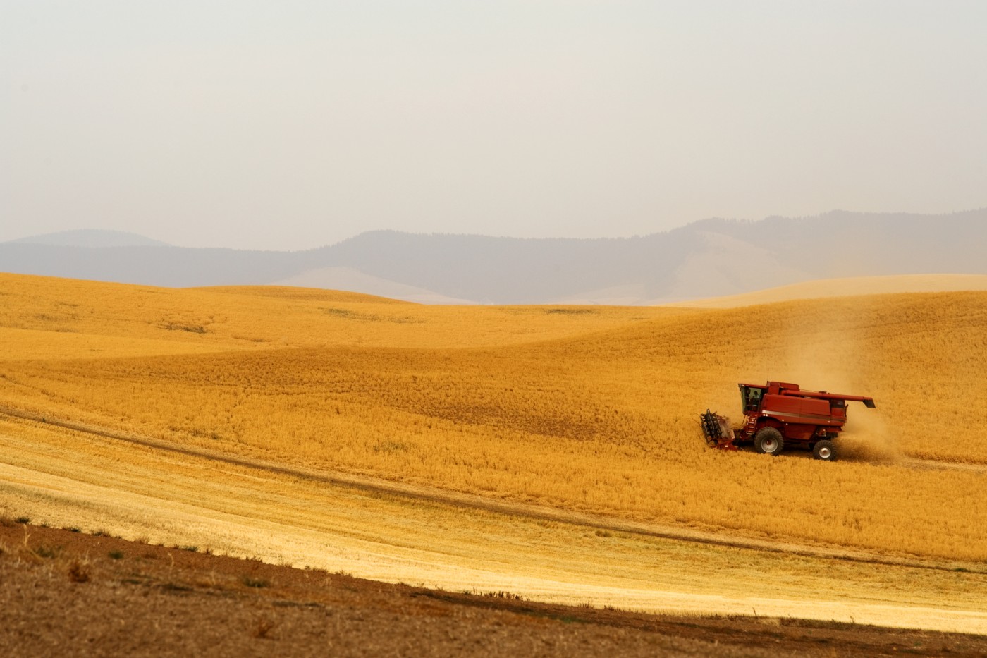

ATTRACTIONS. This ride, starting from the top of the Badger Mountain Grade above East Wenatchee and cutting through a portion of the Waterville Plateau, feels a state removed from the lowlands bordering Wenatchee. It’s quiet up here on the Waterville Plateau, and only a few vehicles will be seen while you are out riding. The absence of steep climbs and the presence of beautiful scenery make this a nice ride for families and road-riding newcomers. Here’s what else you’ll experience on this ride: Cascadian views, wheat fields, fields of wildflowers, farms, wooded draws, big vistas, big sky, aspen groves, glades of ponderosa pine, sagebrush, lithosol soils, fallow fields, rock garden flowers, skeletal remains of old farm equipment, no-trespassing signs, beware-of-dog signs, barbed-wire fences, wooden fences, and pickup trucks.
DISTANCE. The ride as described is 21-miles round trip. Combine this with the Badger Mountain Training Ride (also listed in this guidebook) to create a 45-mile ride with 3,500 feet of elevation gain that leaves right from Wenatchee or East Wenatchee.
ELEVATION. Start 3,425 feet. End 4,150 feet. Gain: 725 feet
ACCESS. In East Wenatchee, follow Eastmont Ave north until it turns into Badger Mountain Road. Drive uphill for seven miles, going past the Fancher Heights housing development and through wheat fields above that development. At the top of the Badger Mountain Grade (elevation 3,425 feet) you’ll hit an intersection with Bromiley Road on your left and Clark Road on your right. Turn right onto Clark and drive 0.25 miles to a big pullout on the right side of the road where you can park. ( Note: In spring this same parking area is an excellent place to view wildflowers. Walk north and south along the crest of the cliffs enjoying the rock-garden type flowers growing here.)
TRIP INSTRUCTIONS:
- Ride 0.25 miles back to Badger Mountain Road.
- Turn right and simply stay on Badger Mountain Road. The road winds around quite a bit, but there is little room for error because it is the only paved road. All the other roads intersecting it turn to dirt right away. Note: beginning mountain bikers will want to explore some of these roads which are scenic, well graded, and quite smooth.
- Follow Badger Mountain Road for 10.5 miles (predominantly uphill) to a rather complicated intersection (el 4,150 feet) where the pavement ends. This is the end of this ride. Turn around and follow the same route back to the car (the scenery will look very different on the return).
- For your information: At the complicated intersection, the peak of Badger Mountain is located 0.7 miles to the east (the dirt road, O Rd SW, heads in that direction). Also from the complicated intersection, Badger Mountain Road drops 1000 feet of vertical in 2.5 miles through McGinnis Canyon before it merges with Baseline Road and returns to pavement. This portion of dirt road is smooth and experienced road riders can drop down it and carry on to Waterville or Douglas before retracing the route (the climb back up McGinnis Canyon is steep).
MAPS: See attached.
RECOMMENDED SEASON. Spring, when the wildflowers are blooming, and fall, when the vegetation is golden, are particularly nice. Nonetheless, this is still a nice morning or evening ride in summer because the altitude takes some of the singe out of the Eastern-Washington heat.
HAZARDS. Traffic along the road is light but some motorists exceed the speed limit–make yourself visible with bright clothing. The shoulder of the road is adequate but not wide.
LAND DESIGNATION: County road.
FEES/PERMITS: None.
MAPS: Print our TopUSGS 7.5-Minutes Series: Orondo, WA
OTHER RECOMMENDATIONS: Stronger riders can combine this route with our Badger Mountain Training Ride for a longer ride leaving right from Wenatchee.
TRIP REPORTER: Andy Dappen, 5/22/06
MORE ROAD RIDES: Maps and details of over 35 regional road rides in the biking guidebook.
LEAVE IT BETTER THAN YOU FOUND IT. This should be every user’s goal. Pick up trash left by others and pull a few noxious weeds along your route.
DISCLAIMER. Treat this information as recommendations, not gospel. Conditions change and those contributing these reports are volunteers–they may make mistakes or not know all the issues affecting a route. You are responsible for yourself, your actions, and your safety. If you won’t accept that responsibility, you are prohibited from using our information.

