
Close to town (only five- to ten-minute drive) with nice views down on the town of Wenatchee, over the Rocky Reach Dam, at Burch Mountain, up the Columbia River.
Maps: View our topo map (8.5’x11” portrait/landscape or 8.5”x14” portrait/landscape). Note: use ‘Print Preview’ before printing to properly scale this map to a full sheet of paper.

Activity: Mountain biking, trail running, walking
Nearest Town: East Wenatchee, Wenatchee
Skill Level: 1 (easy)
Fitness Level: 2 or intermediate (1+ if you start farther up the road).
Distance: Varies depending on where you park. As of 6/1/2023 Marlene Farrell noted the gate is closed so you have to park where the pavement ends. From the end of pavement to the end of the road is 11.3 miles (round trip). For those who drive the road another 1.25 miles, the roundtrip mileage is 8.8 miles.
Elevation: About 1,100-foot gain from the end of the pavement, 400-foot gain for those who drive another 1.25 miles up the road.
Recommended Season: Spring and fall. Spring is best because the flowers are out, the hills are green, and the road hasn’t developed the quicksand-like dust that sometimes develops in late summer. The area is heavily used by bird hunters in late September/early October.
Access. Stronger cyclists might opt to start anywhere along the Loop Trail. Follow the Loop north. From the east side of the Odabashian Bridge crossing the Columbia River, ride 0.7 miles east along the shoulder of Highway 97 to the traffic light. Turn left and ride the shoulder if Highway 97 another 0.3 miles to the Blue Grade (road) and turn right. Ride 0.3 miles uphill to the end of the pavement. Cyclists short on time can drive to pavement’s ends and park (there is a pullout on the right here). Beginning mountain bikers and trail runners may want to avoid the bulk of the climbing and drive 1.25 miles beyond where the pavement ends and park on the left where the steep climbing ends.
Trip Instructions:
Bikers: reset the odometer where the pavement ends along the Blue Grade. Mileages provided in this description are from this point.
- Follow the gravel/dirt road as it climbs at a steady and moderately steep angle. A number of smaller, double-track roads split off (one after 0.45 miles, another after 0.7 miles, another after 0.85 miles). These spur roads are on private property and, without permission, are not legal to use — stay on the main road.
- After 1.25 miles, the pitch slackens and the main climbing is over. (Beginners and runners may want to start here). This first mile, while good exercise, has been littered and eroded by irresponsible recreational use.
- The road undulates (mainly uphill) and, at 2.5 miles from the end of the pavement, you come to a major Y in the road about 100 yards after the road bends sharply around a little drainage. The right road climbs more steeply and terminates after several hundred yards. Go left.
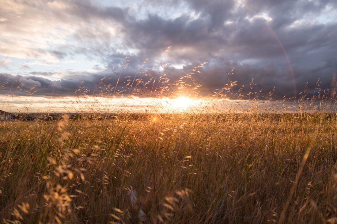
- The road contours, drops a bit on occasions but, generally, climbs. Some smaller roads split off—just stay on the largest road. The farther you follow the road, the prettier the route becomes with increasingly nice views back at Wenatchee, across the Columbia at Burch Mountain, and up the Columbia toward Chelan.
- Mile 5.65 (Mile 4.4 for trail runners and beginner bikers who started farther up the road), the main road ends at a small turnaround with a nice view down on Rocky Reach Dam.
- Return by retracing the route.
Note: There are a number of spur roads you pass along the way. Some may be tempting to explore but only the main road is legal to all users. The other spurs span private property and require permission to be used.
Ownership. The main road is a county road. All property bordering this road is private.
Uses Allowed. Motorized and non-motorized use of the county road is allowed. No off-road vehicles (this includes bikes) are allowed off the main road without the property owner’s permission.The Department of Fish and Wildlife has leases along some properties bordering the road that allow hunting (walking access only).
Issues. The lower sections of this ride can be littered with trash by irresponsible recreationalists leaving litter, shells, and targets; folks dumping construction and yard waste; off-road motorists diverging from the main road to test their machines; and recreationalists of all ilk rutting the main road during mud season. There’s a lot education needed to get all users of this area to take care of it, leave no trash, stay on the main road unless they have permission to wander elsewhere, and to stay off the main road when it’s muddy and easily rutted. Getting fines administered to those who illegally litter, dump waste, or motor off-road, would go a long way in re-educating those who are degrading the area. As of May 2019 the litter seemed to be under control.
How to Help. Every year the Wenatchee Sportmen’s Association runs work parties to help clean up this area. They are the best stewards of Blue Grade area and the members of this non-profit conservation group, haul tons of trash out of this and other nearby areas. If you use the Blue Grade Road, help the Sportsmen’s Association keep it clean and join one of their work parties. Check their ‘Events Calendar’ at their website to join a work party.
Report. Another way to help is to report incidences of inappropriate or illegal use you see. Get license plate numbers of those who you think are engaged in illegal activity and call the Washington State Department of Fish and Wildlife (509-754-4624) to report what you’ve seen.
Fees/Permits: None
Trip Reporter: Andy Dappen, First posted October 2005, updated April 2010. Updated May 2019 by Sarah Shaffer. As of 6/1/2023 Marlene Farrell noted the gate is closed so you have to park where the pavement ends.
Leave It Better Than You Found It: This should be every outdoor user’s goal. Pick up trash left by others, pull noxious weeds along your route, disperse old fire rings (they encourage more fires), throw branches over spur trails and spurs between switchbacks (make it harder to do the wrong thing than the right thing).
Important Disclaimer: Treat this information as recommendations, not gospel. Conditions and issues change, and those contributing these reports are volunteers–they may make mistakes, or may not know all the issues affecting a route. If things go wrong, you are completely responsible for yourself and your actions. If you can’t live with that, you are prohibited from using our information.

