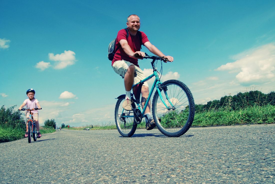
Mountain bikes or cross bikes are among the best ways to get around if you’ll be visiting and staying in Stehekin. From the ferry landing at the end of Lake Chelan, there are about 15 miles of road taking you up the Stehekin River into the Cascades. The road is fun to ride in and of itself, but you can also combine a ride with one of the hikes leaving from the road. The scenery is beautiful and the riding is quite flat. The following segments of road are listed in order as you ride upstream from Lake Chelan.
Landing to Harlequin Bridge (paved)
4.5 miles — one way (about 40 minutes)
This is a leisurely road on pavement that takes you past the Stehekin Air Strip, Buckner Orchard, Rainbow Falls, the one-room school house/museum, and the bakery. The ride has a few undulations but is very gentle overall.
Harlequin to High Bridge (dirt road)
6.5 miles –one way (about 1 hour)
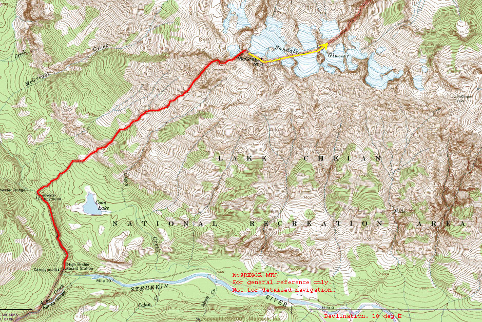
The paved section of the road ends at Harlequin Bridge and upstream of here you’ll be on a good dir road. You can ride to High Bridge or you can catch the shuttle bus which has a bike rack. For the most part the road parallels the Stehekin River and the scenery gets better and better as you go. High Bridge is an old bridge spanning a gorge above the Stehekin River and this is a good place to take a break and have lunch. There’s a Guard Station and an outhouse here. A short hike to Coon Lake (about 1.25 miles, one way) leaves from here, as does the long, steep hike up McGregor Mountain (7 miles, one way). If you’re going to go up McGregor, see our hiking info and our map make sure to stop in the Visitor Center to get any updated information about the route. Finally from High Bridge you can hike southwest on the Pacific Crest Trail up the Agnes Creek Drainage for as long as time and energy allows.
High Bridge to Carwash Falls (dirt road)
2 miles – one way
You can keep riding beyond High Bridge another 2 miles to “Carwash Falls” which is found at the mouth of McGregor Creek. The Stehekin River Road used to pass beside the base of the falls, but autumn floods in 2003 destroyed this section of road and now the falls drops right into the river here. This marks the end of the driveable portion of the road. Most people who carry on up valley from here leave the bike behind and walk up to Bridge Creek via the Pacific Crest Trail. The Pacific Creek Trail continues north by the washed out road up to Bridge Creek. From here there are many hiking opportunities that can only be accessed on foot.
Source: http://www.stehekinlanding.com/index.php?page_id=216
Mountain Bike Rentals are available from Discovery Bikes. Visit their website at www.stehekindiscoverybikes.com for current rates and info. $4/hour or $25/day (in 2010)
Bring your Own Bike: You can bring your own bike with you on the Lady of the Lake boats, the cost is $24 round-trip (in 2009).
There’s a good galley of photos of hiking in the Stehekin area at:
http://www.pbase.com/mad_monte1/sahale_glacier_loop&page=all
Maps. See our topo map of the Stehekin Area.

Also see this National Parks schematic map (push the map button) at this link:
http://www.nps.gov/noca/planyourvisit/stehekin-trails.htm
Leave It Better than You Found It. This should be every user’s goal. Pick up trash left by others, pull noxious weeds along your route, throw branches over unwanted spur trails, etc.
Disclaimer. Treat this information as recommendations, not gospel. Conditions change and those contributing these reports are volunteers–they may make mistakes or not know all the issues affecting a route. You are responsible for yourself, your actions, and your safety. If you won’t accept that responsibility, you are prohibited from using our information.
