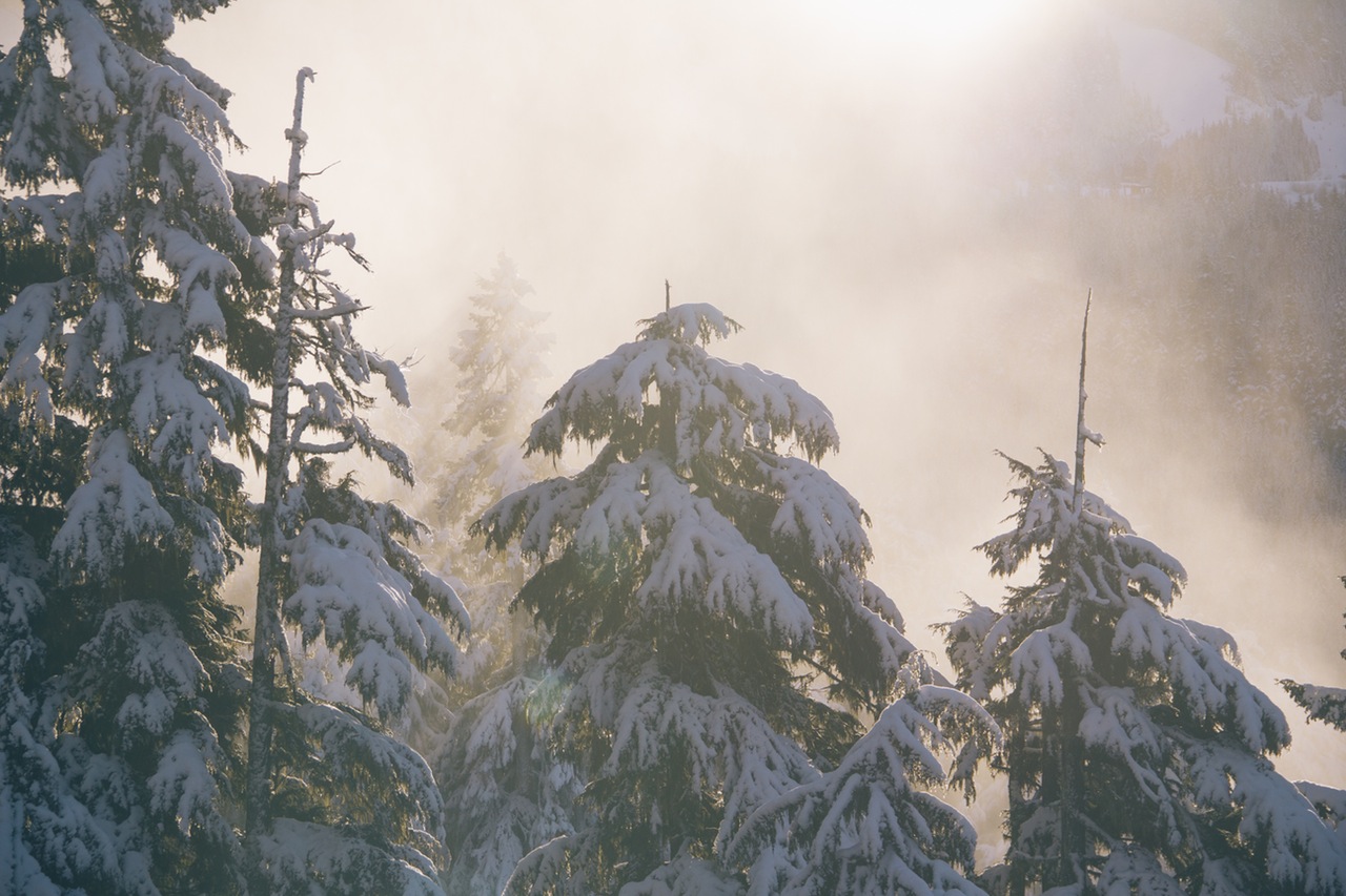
![10881716_10152599652856662_3881425531448408090_n[1]](https://wenatcheeoutdoors.org/wp-content/uploads/2016/08/10881716_10152599652856662_3881425531448408090_n1.jpg) ATTRACTIONS. You’ll travel up a beautiful mountain valley alongside the Entiat River with rock cliffs and deep woods on either side. The area feels remote — except for the occasional snowmobile that will pass you.Generally you will see / hear / smell some at some point during your trip. This is an out-and-back trip (not a loop). There are fun destinations 2, 3, and more miles out. There’s also an opportunity for snow camping at Silver Falls (5 miles out).
ATTRACTIONS. You’ll travel up a beautiful mountain valley alongside the Entiat River with rock cliffs and deep woods on either side. The area feels remote — except for the occasional snowmobile that will pass you.Generally you will see / hear / smell some at some point during your trip. This is an out-and-back trip (not a loop). There are fun destinations 2, 3, and more miles out. There’s also an opportunity for snow camping at Silver Falls (5 miles out).
Skill Level: 1+ (advanced beginner).
Fitness: 1 to 2 (easy to intermediate depending on how far you go).
USES: You can cross-country ski on light gear or walk on snowshoes. The road is groomed for snowmobiles so this is a ‘shared’ trail. Most snowmobilers are very courteous, a few not. Weekends are most crowded, except for Sunday afternoons. We are seeing more muscle-powered use this road in winter, but we are still outnumbered by the snowmobiles. The grooming of the road is a nice amenity, however.
ACCESS. From Highway 97A at the town of Entiat, drive up the Entiat River to the Sno-Park at the end of the plowed road (25 mile marker). The nearest town is Ardenvoir (9 miles up the Entiat River Road). At Ardenvoir you can get convenience/camp items. The small cafe here has good burgers.
ELEVATION and DISTANCES: Sno-Park 1750ft. Fox Creek Campground MP 1, 1870ft. Lake Creek Campground MP 2, 1980ft. Box Canyon MP 3.2, 2200 ft. Silver Falls Campground MP 5, 2450ft. Entiat Falls MP 8, 2670ft. The road is very gradual for ascending picks up enough elevation that it’s fun to come down.
TRIP INSTRUCTIONS: Park and go. Watch for 2 USFS campgrounds to your left (Fox Ck., Lake Ck.)where you can ski down and snack by the river.
RECOMMENDED SEASON: Winter and early spring.
USES ALLOWED: Ski, snowshoe, snowmobile. If you bring a dog or kids please be aware of fast moving snowmobiles that will be sharing the road and you may consider having your dog on leash.
LAND DESIGNATION: Forest Service.
FEES/PERMITS: Sno-Park permit needed.
ADDITIONAL INFORMATION: In mid February of 2006 the snow pack was four-feet deep at Lake Creek.
TRIP REPORTER: Priscilla Selden, late Feb 2006
MAPS: See our map below for more information or USFS — Entiat Ranger District map.
Leave It Better Than You found It: This should be every outdoor user’s goal. Pick up trash others have left behind, pull noxious weeds along your route, disperse fire rings found at campsites (they encourage more fires), throw logs and branches over spur trails and spurs between switchbacks (make it harder to do the wrong thing than the right thing).
IMPORTANT DISCLAIMER: Treat this information as recommendations, not gospel. Things change and those contributing these reports are volunteers–they may make mistakes, fail to give complete information, or may not know all the issues affecting a route. So forget about finger pointing: If things go wrong, you are completely responsible for yourself and your actions. If you can’t live with that, you are prohibited from using our information.

