
A fun ride or walk up the Douglas Creek canyon on smooth gravel roads, rocky gravel roads, and single track. Lots of wildlife to be viewed in the canyon as it is the only source of water around. The route starts with a short climb, follows a railroad grade road in the middle of the ride (approximately 2-percent grade) and joins the Douglas Creek trail at the north end which is a rocky and brushy single track. The route has lots of options–once you figure out how to get to the beginning of the trip you’re on your own to do a bit of exploring. It’s a canyon, so you can’t really get lost. This part of Douglas Creek (which is mainly a dirt road rather than a trail) is perhaps best suited for mountain bikers and trail runners, but walkers will enjoy the setting too.
Activity: Mountain biking, trail running, walking.
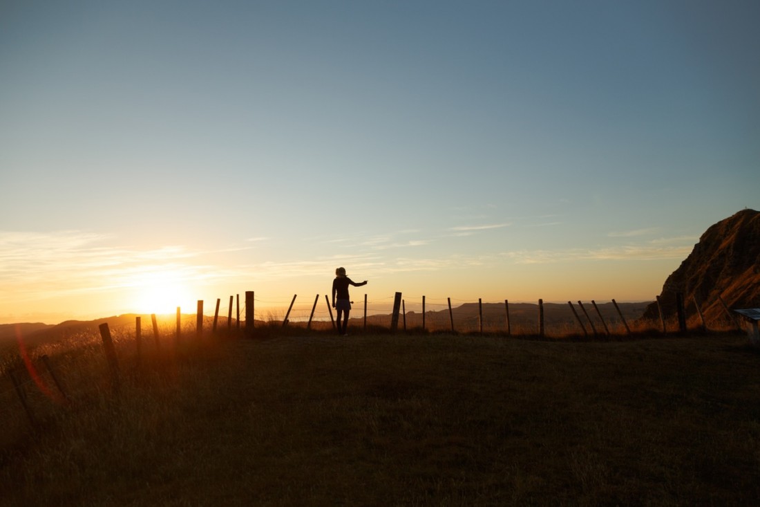
Nearest Town: Quincy, Waterville.
Skill Level: 2. Fitness Level: 2
Getting there. Take Highway 28 from Wenatchee toward Quincy. Take a left up the Palisades Road. In 14 miles take a left on Wagon Road (gravel). Wagon Road forks almost immediately. Take the left road. Park your car anywhere along here. There’s a nice wide spot near the pile of “beat up” culverts.
Trip Instructions:
- You can see the gravel road snaking up the hillside toward Douglas Canyon. That’s what you’ll be riding. In about a mile you will hit an intersection.
- Going straight will let you ride closer to the river with access to pools and waterfalls. It is flat and easy riding. In less than a mile the gravel road dead-ends at an old collapsed railroad tunnel. Scramble up over the top carrying your bike and continue on. There are lots of options for gravel roads ahead, with a bit of walking and carrying of your bike to stay close to the creek.
- Taking a left at the first intersection will take you the high route away from the creek. It’s the route that gets you past the collapsed railroad tunnel without having to do any scrambling. We went in the creek route and came out the high route.
- After about five miles of following the creek, the road begins to do some serious climbing up. A sign on the left of the road says “Entering Public Lands”. If you go back about 50 yards you will see a small gravel road heading down to the river. Take this road–it is the access to the Douglas Creek Trail, a single-track that goes all the way to Allston (outside of Waterville). We only rode two miles of this single-track before turning back. Someone else will need to complete the description to get the full bike route recorded. Note: See our Douglas Creek – North End for information about this part of the trail.
Creek Access. Access to the creek is good along the trail–in several places there are natural pools and waterfalls which are great for cooling off in. On our ride we had to cross the river several times carrying our bikes and wading (Some are too deep to ride. At one point it was mid-thigh on me.) Over the course of the ride we rode or walked through the river (or large puddles/lakes) six times. The ride is sun-exposed so walking through the creek felt good. We did it on an overcast day in June, which made it pleasant. Would not be a good ride mid-summer.
Trip Reporter: Carolyn Griffin-Bugert
History. There’s an interesting history to this area. In 1909 a railroad line was built up this creek and it connected the Columbia River to Manfield up on the Waterville Plateau. The railroad brought agricultural products from the Waterville Plateau down to the Columbia River from 1910 until the 1970s. The last train to go down the line was on March 2, 1985. Eventually the 49 different trestles built across the creek and all the rails were removed for salvage. Read more about the history.
Leave It Better Than You Found It: This should be every outdoor user’s goal. Pick up trash left by others, pull noxious weeds along your route, disperse old fire rings (they encourage more fires), throw branches over spur trails and spurs between switchbacks (make it harder to do the wrong thing than the right thing).
Important Disclaimer: Treat this information as recommendations, not gospel. Things change, conditions change, and those contributing these reports are volunteers–they may make mistakes, fail to give complete information, or may not know all the issues affecting a route. So forget about finger pointing: If things go wrong, you are completely responsible for yourself and your actions. If you can’t live with that, you are prohibited from using our information.
