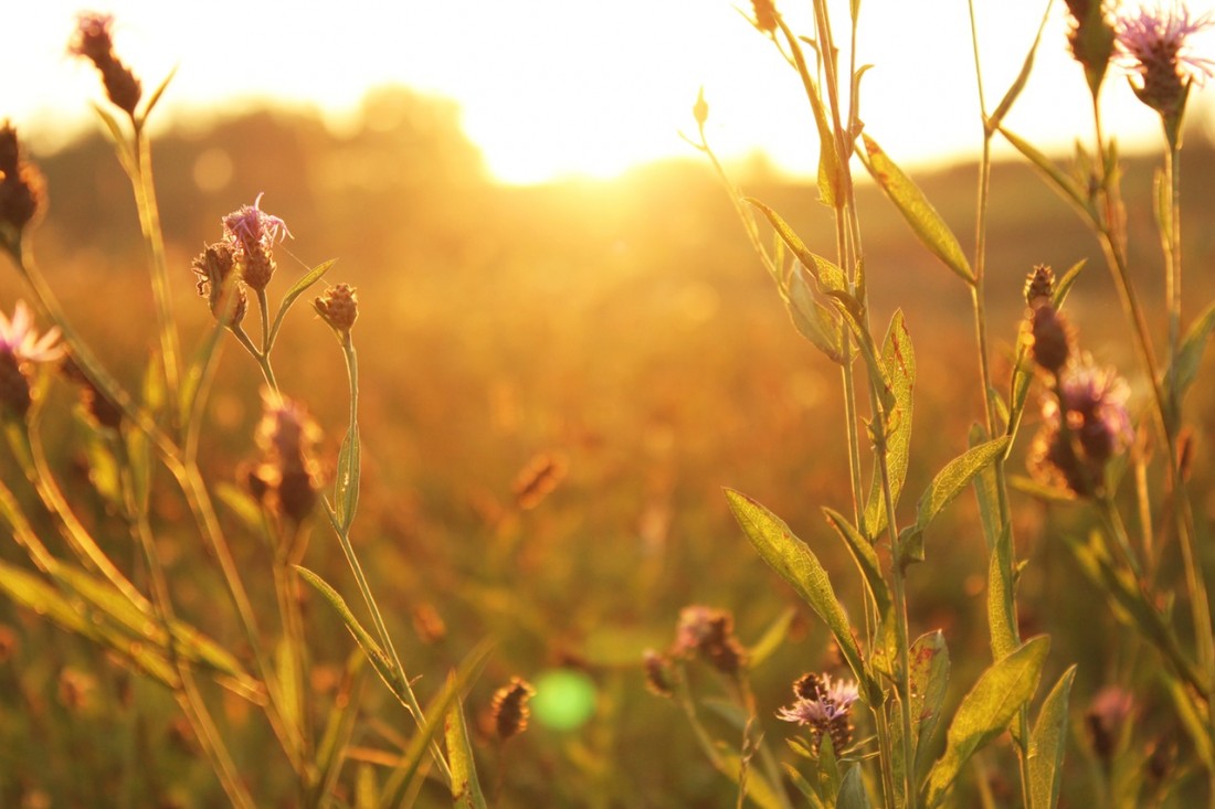

This is the upper portion of steep-sided, basalt canyon carved by Douglas Creek. There’s varied plant life here because of the year-around water in the creek and the dry desert landscape just beyond the creek. There’s also a fascinating history to the area: Douglas Creek, in the early part of the 1900s, had a railroad running up it and this was used to transport wheat from the Waterville Plateau down to the Columbia River.

Photo: The trail crosses the creek fairly frequently. In autumn it’s easy to keep your feet dry. In spring you may be wading up to your knees in a few places. Some of the crossings are rideable on a mountain bike, but most riders will end up pushing the bike across the creek in 8 or 9 places.
Maps: View our topo map below for more information.
Note: use ‘Print Preview’ before printing to properly scale this map to a full sheet of paper.
Activity: Hiking, Mountain Biking, Trail Running
Nearest Town: Waterville
Skill Level: 2.
Fitness Level: 2
Elevation: 500-foot gain over the entire 8 miles.
Distance: About 16.5 miles round trip. The distance you travel may be influenced by how recently the trail has been brushed out by volunteers working with the BLM. The trail can be traveled from the Slack Canyon trailhead (access point described below) to Alstown–a one way distance of about 8.25 miles.
Recommended Season: This is hot country in the summer, and though you can cool yourself in the creek, the area is best reserved as a fall, spring, or even a winter outing. Bring water.
Access:
From Orondo, drive Highway 2 east to Waterville. Stay on Highway 2 roughly 8 to 9 miles east of Waterville (just beyond milepost 158), then turn right on road H. Follow this gravel road (which after 6.5 miles steepens and roughens) a total of 8 miles to the trailhead on the right.
Note: If you following the gravel road another 1.1 miles, you’ll reach the northern trailhead of the Douglas Creek–South End hike (confusing, eh?). Wenatchee residents usually access the southern hike (or the lower portion of Douglas Creek) from the southern trailhead because the drive is shorter.
Trip Instructions:
- The trailhead is located on a spur road branching off the main gravel road on the right. Take this spur into a gravel parking lot and then start walking upstream. The ‘trail’ is really an old road bed that has grown-in with vegetation. The route is likely to be brushy at the start. As of 2009, Beavers have also built some dams in the creek near here an you may need to wade the creek a few times as you walk upstream. (Be prepared for this possibility — especially if you’re doing the trail in spring).
- Work your way upstream. After a mile, the travel gets much easier. The trail is generally above creek level but there are quite a few places where the trail dips down and crosses the creek. Mountain biking note: As of 2009, these were not slam dunk crossings for intermediate cyclists and many riders will end up dismounting and pushing the bike through these obstacles.
- Travel as far as energy allows–you can follow the trail upstream all the way to Alstown–a distance of about 8 miles (one way). Note As of 2009 there were large patches of noxious weeds on the last 1 to 1.5 miles to Alstown, but volunteer parties do work on the brush periodically.
- Return Trip Option. Mountain bikers and trail runners who followed the trail the full 8 miles upstream from Slack Canyon Road to Alstown can make a loop of the trip by following local farming/ranching roads about 4 miles east of Alstown and then about 4 miles south back to the start. Hikers can also leave a mountain bike at Alstown and then have a someone ride the roads back to the start for the car.
Issue. Being out in the empty lands of the Waterville Plateau, this trail doesn’t get frequent maintenance. Litter is sometimes a bit unsightly, so don’t just grouse about it, pack some of it out. You don’t need to do the whole job by yourself–just fill up a bread bag with trash and consider that your payment for using the area. If we all leave the area cleaner than we found it, the litter issue will take care of itself.
Land Ownership. Bureau of Land Management (BLM), 915 Walla Walla, Wenatchee, WA 98801, 509-665-2100
History. There’s an interesting history to this area. In 1909 a railroad line was built up this creek and it connected the Columbia River to Manfield up on the Waterville Plateau. The railroad brought agricultural products from the Waterville Plateau down to the Columbia River from 1910 until the 1970s. The last train to go down the line was on March 2, 1985. Eventually the 49 different trestles built across the creek and all the rails were removed for salvage. Read more about the history.
Uses Not Allowed: No motorized vehicles allowed.
Fees/Permits: None in money–only a bread bag’s worth of litter (see above).
More Info/Links: Best Desert Hikes: Washington by Bauer and Nelson. A guidebook published by The Mountaineers Books. Click here to read more about Douglas Creek.
Reporters: Andy Dappen and Gene Sharratt, Sept 2005.

Leave It Better Than You Found It: This should be every outdoor user’s goal. Pick up trash left by others, pull noxious weeds along your route, disperse old fire rings (they encourage more fires), throw branches over spur trails and spurs between switchbacks (make it harder to do the wrong thing than the right thing).
Important Disclaimer: Treat this information as recommendations, not gospel. Things change, conditions change, and those contributing these reports are volunteers–they may make mistakes, fail to give complete information, or may not know all the issues affecting a route. So forget about finger pointing: If things go wrong, you are completely responsible for yourself and your actions. If you can’t live with that, you are prohibited from using our information.

