
During the autumn of 2010, the Chelan-Douglas Land Trust built a new, 2-mile-long section of trail on its Horse Lake Reserve in the Sage Hills west of Wenatchee. The new trail branches off the west (uphill) side of the Lone Fir Spur about 0.8 miles from the Horse Lake Trailhead as you’re walking south toward the PUD property in the Sage Hills. See the map below if you’re not familiar with the Sage Hill system (the Homestead Trail is the zigzagging trail on the northwest end of the trail system that climbs to a gap that’s just northeast of Horse Lake).
This trail was built with grant funding and a combination of contracted help and volunteer labor coordinated by the Land Trust. It’s a zig-zagging trail that climbs 700 vertical feet through terrain offering beautiful views down on the Columbia River Valley, over the city of Wenatchee, and out across to Burch Mountain. The trail leads to a little saddle, drops off the back side of that saddle and connects to double-track road cutting through the Land Trust’s 1700-acre Horse Lake Reserve. Take a right on the road and you can follow it downhill off the reserve back to the Horse Lake Trailhead where you started. This loop is roughly 5 miles long. If you want to walk/ride farther to gain higher view points, drop off the saddle and take a left on the double-track road cutting through the reserve and follow the road uphill another 1.2 miles to a higher ridge system with stellar views (see the map for options).

The volunteers who built this new trail were striving to make it sustainable and friendly to many users (hikers, mountain bikers, and equestrians). Sustainable trails have a maximum grade that is not very steep — otherwise they become conduits for runoff water and erode much faster. Some hikers may find portions of the route and a few corners indirect and may be tempted to take their own short cut. Please don’t. The trail wouldn’t exist without this volunteer help and, even if it has a few more zigs than you prefer, be thankful of the many people who donated their sweat to build this trail we can all enjoy.

Details, Details: Homestead Trail-Sage Hills, Wenatchee
Distance: about 5 miles, Elevation gain: Total of 850 vertical feet.
Access. From the intersection of Wenatchee Avenue and Horselake Road at the north end of Wenatchee, drive west (uphill) on Horselake Road. In one mile, the pavement ends and (if you’re driving) you can use a pullout on the right to park. Or drive another 2.3 miles up Horselake Road and park on the right side of the road at a formal trailhead that was built by the Land Trust in 2009. Note: Neither the city, the county, nor the Land Trust has a formal budget to pay for trailhead maintenance. All of us who use the trails can help by picking up trash found at the trailhead (and on the trails) and disposing that trash at home. Also please don’t dispose of trash in the vault toilet and clean up after yourself after using that same toilet.
Instructions:
- From the upper trailhead (el. 1,750’), head in a southwesterly direction. For the first 0.5 miles, the trail wanders through sagebrush country with views to the west and north over Monitor and the Cascades. Then it crests a little ridge and starts contouring an east-facing basin.
- Contour for about 0.3 miles until a little intersection in a draw (unsigned). Staying on the main trail takes you over to the PUD property in the the Sage Hills. For this walk, however, turn right and start climbing uphill on a gently graded trail.
- Over the next two miles the trail climbs to leads to a little saddle then drops off the back side of that saddle and connects to double-track road cutting through the Land Trust’s 1200-acre Horse Lake Reserve.
- Take a right on the road and you can follow it downhill for a little over two miles. This will take you off the reserve and back to the Horse Lake Trailhead where you started. On this section of the return there will be a few intersections with other roads — the first is a far rougher road that drops off more steeply on your left (stay right on the higher, smoother road), the second is with the gravel road that leads off the reserve and back to the county road where the car is parked (veer right here).
- Longer Option. At the beginning of the last step, if you take a left on the double-track road, you can climb another 1.2 miles through old meadows and fileds that give you beautiful views.Retrace the same route back. See the map for options.
Maps: See map below for more information.
Use ‘Print Preview’ to size and scale before printing.
Allowed: Hiking, trail running, mountain biking, horses, walking leashed pets.
Not Allowed: The Land Trust strictly prohibits the use of motorized vehicles on this trail or anywhere else on the Horse Lake Reserve. If you see any motorized vehicles, try to get a license number and report the violation to the Land Trust (667-9708).
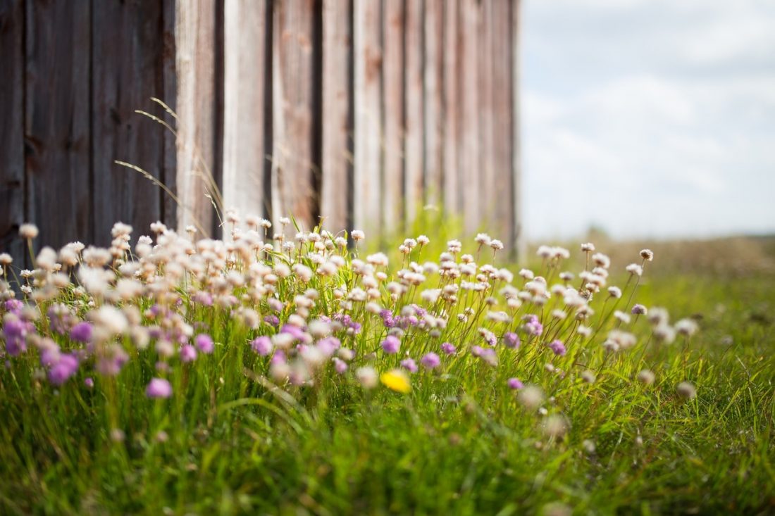
Best seasons: Spring and fall. In summer, the route is best traveled early or late in the day. Look for these native plants along the Foothills in all seasons.
Landowners. The route is mainly on the Land Trust’s Horse Lake Reserve. The last quarter mile of the circuit follows a county dirt road. The property lines noted on our map are accurate.
Seasonal Closure. The PUD’s property in the Sage Hills is managed as a wildlife preserve. In winter, when the mule deer move down into the lowlands, the PUD closes their property in the Sage Hills. The Land Trust closes this trail at the same time (December 1 – April1). Because this trails is higher and potentially muddier than most, it may be signed closed even longer in the spring.
Permits: None needed.
Rules. 1) Dogs should be leashed 2) no cross-country travel is allowed (use only existing trails) 3) building any new trail or trail feature anywhere on the Land Trust’s property is strictly forbidden 4) stay off trails that are marked closed 5) observe the winter closure of the area.
Don’t Use Soft /Wet Trails. Please stay off trails in early and late season when they are soft or wet enough that you’re leaving foot prints or wheel ruts deeper than 1/4 inch (or horse prints deeper than ½ inch). All of these prints hold and funnel water, and greatly accelerate erosion. When the trails are soft, ask whether a 100 people could use the trail in the same way you’re using it without messing up the surface? If the answer is ‘no’ turn around. Be aware that not all use is equal–horses need the driest, firmest trails, then bikes, then walkers.
Be More Than a User. These trails need frequent maintenance and most of the work is done by volunteers. If you use these trails help maintain them. To join trail maintenance parties, the Chelan-Douglas Land Trust (509-667-9708) or the Central Washington Chapter of Evergreen.
Leave It Better Than You Found It. This should be every outdoor user’s goal. Pick up trash left by others, pull some noxious weeds along your route, throw branches over spur trails that are not part of the formalized trail system (make it harder to do the wrong thing than the right thing).
Disclaimer. Treat this information as recommendations, not gospel. Conditions change, and those contributing these reports are volunteers–they may make mistakes or may not know all the issues affecting a route.You are still completely responsible for your decisions, your actions, and your safety. If you can’t live with that, you are prohibited from using our information.


