
Looking for a 30-mile, double-track, scenic loop close to Wenatchee? Try Swakane Wildlife Area, just 5 miles north of Wenatchee on Hwy 97 Alt. This local canyon is good for working the dogs in the winter and shoulder seasons (while the rattlesnakes are dormant) and viewing wildlife anytime of the year. A short drive (3.3 miles) up the canyon leads to a double track road (NFD 5215) that is closed to cars and motorcycles.
The first two miles of the road rising from the canyon bottom, climbs steeply (not as steep as the third mile on the Chelan Butte Road) but it can be ridden. Eventually the grade slackens and riding in somethin other than granny gear is

possible. The six-mile climb to the top gate can be enjoyed by taking a few water and snack breaks and soaking in the ever-present views. Turn around at the top gate for a pleasant downhill trip back to the car, or continue on for some ridge-top riding followed by an hour or so of downhill riding to complete the loop. Check out Nahahum Canyon Ride for interconnecting possibilities. Do this ride during the week, and you will share the upper road only with wildlife. The adventurous can pack camping gear and spend the night at Prairie Spring Campground on Dinkelman Ridge or a primitive campsite on the Entiat Summit Ridge Road about 1 mile west of Dinkelman Ridge (be sure to pack sufficient water). There are two springs close to the route: Prairie Spring is along Dinkelman Ridge and Swakane Spring is below Chumstick Peak.
Maps: See maps below for more information.
USGS 7.5-minute series: Rocky Reach Dam, Sugar Loaf, and Cashmere WA. Due to the territory covered there are two maps: 1) start and end, 2) middle.

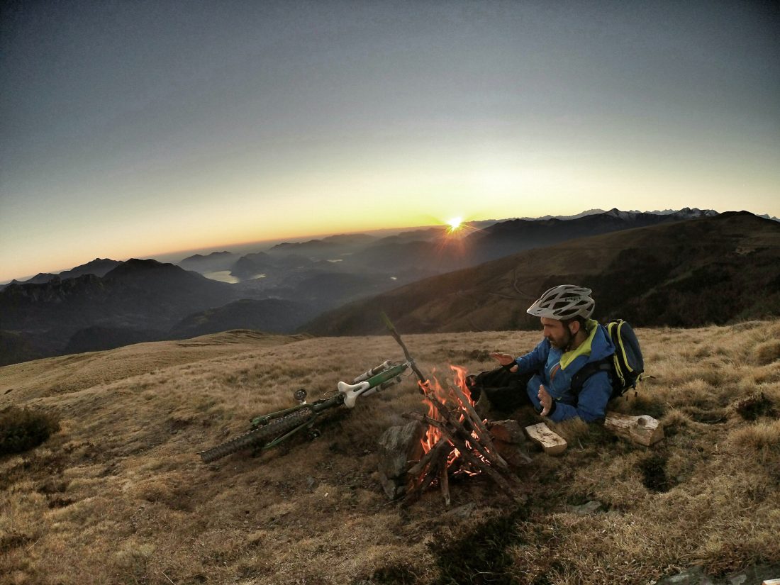
Activity: Mountain Biking Nearest Town: Wenatchee Skill Level: 1 to 2 Fitness Level: 3 (due to elevation gain and length of ride) Distance: 30 miles. Elevation: Start, 1,480 feet. Top, 5,500 feet. Total Gain 5,887 feet.
Access: From the Highway 2 interchange in Wenatchee, drive north on Highway 97 Alt. for 5.4 miles to the Swakane Wildlife area just north of Rocky Reach Dam. Drive 3.3 miles up the canyon to the beginning of NFD 5215 (unmarked but the pole barn is where you park).
Trip Instructions:
- Begin at the gate that blocks NFD 5215 and continue on this road for 6 miles to the upper gate. The road forks here but the left fork dead ends; follow the right fork for another 2 miles to the T-intersection where NFD 5213 comes in from the east.
- Go west, continuing on NFD 5215 for 0.8 miles where it meets NFD 5200, the Entiat Summit Ridge Road. After a total of 12 miles, NFD 5212 (Dinkelman Ridge) comes in from the north; stay on the Entiat Summit Ridge Road heading west.
- NFD 7400 intersects the summit ridge road at 17.5 miles. NFD 7400 descends to the northwest while NFD 5200 continues north towards Chumstick Mountain. Stay on NFD 7400 for 3.4 miles (20.9 miles total) then turn south on NFD 7415, which returns to the starting point. There are several roads coming off both 7400 and 7415; stay on the main road.
- NFD 7415 branches 1.2 miles (22.1 total miles) after leaving Road 7400; going southwest leads to Hay Canyon or Ollala Canyon. Continue southeast on 7415. After 18.2 miles total, a road eventually heading south leads to Nahahum Canyon. Stay on 7415 which switchbacks north. You will know you are on the right road when you cross Swakane Creek 0.6 miles after the Nahahum Canyon junction and skirt the northeast side of a wetland.
- From this wetland, it’s about 6 miles back to the car.
Uses Allowed: Initial 6-mile climb: hiking, bicycles, and horses. Motorized and non-motorized use allowed on the rest of the route. Land Designation: National Forest Service and State Wildlife.
Permits: None needed. Trip Reporter: David Zamora 10/20/09 and updated on 5/27/21 by Sarah Shaffer.
Leave It Better Than You found It. This should be every user’s goal. Pick up trash left by others, pull noxious weeds along your route, disperse old fire rings, throw branches over unwanted spur trails…
Disclaimer. Treat this information as recommendations, not gospel. Conditions change and those contributing these reports are volunteers–they may make mistakes or not know all the issues affecting a route. You are responsible for yourself, your actions, and your safety. If you won’t accept that responsibility, you are prohibited from using our information.


