
Summit Post details this trail nicely and includes photographs.
Click here to view the post.
Adapted from Summitpost.org:
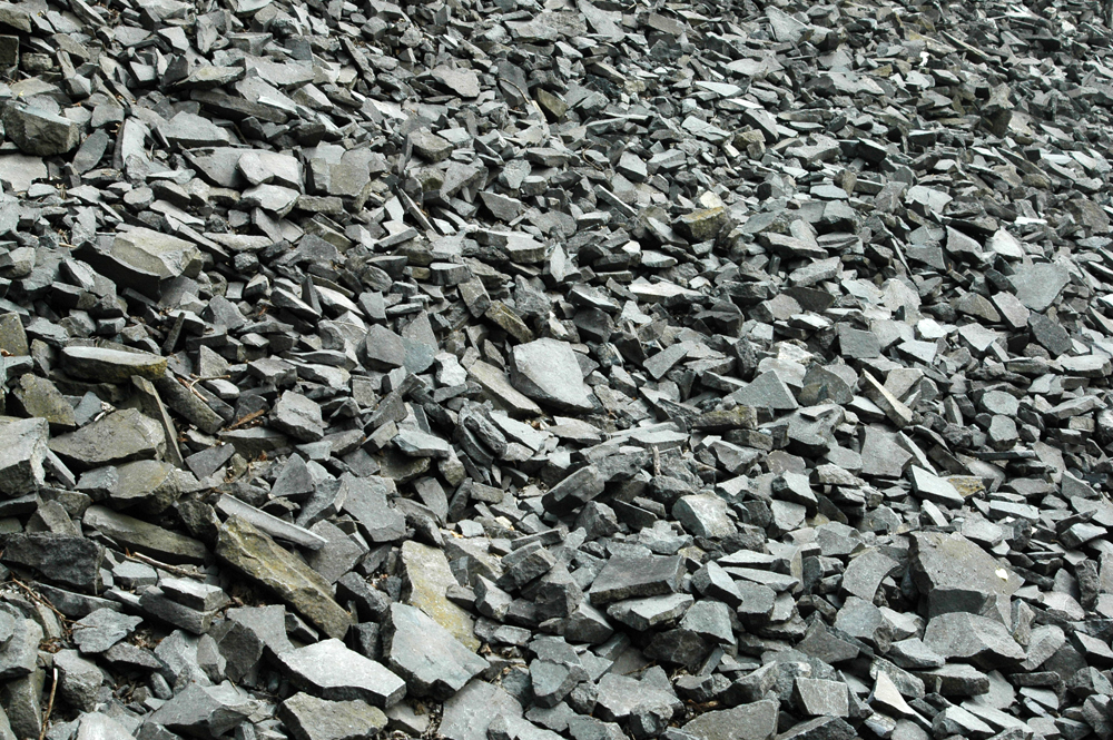
Oval Peak is not even really on the crest of Sawtooth Ridge, but instead lies a couple of miles northeast of the crest on an outlier ridge. The mountain is characterized by talus, talus, and more talus. It is King Talusus, ruler of Chossdom. Even so, it is quite high and as such affords a listing on the Washington Top 100 (at approximately 28th highest in the state).
Nearest Town: Lake Chelan/Entiat
Uses: Mountaineering/Scrambling
Skill: 1
Fitness: 2
Access:
To get to Oval Peak, drive to the Methow River valley and then up the Twisp River Road. Subsequently, you can approach the mountain either via West Fork Buttermilk Creek Trail No. 411 (3 or 4 miles to base of mountain), Oval Creek Trail No. 410A (4 miles to base of mountain), Scaffold Camp Creek northeast of the peak (3 miles of cross-country), or the long northeast ridge that divides Oval Creek and Scaffold Camp Creek.
Leave It Better than You Found It. This should be every user’s goal. Pick up trash left by others, pull noxious weeds along your route, throw branches over unwanted spur trails, etc.
Disclaimer. Treat this information as recommendations, not gospel. Conditions change and those contributing these reports are volunteers–they may make mistakes or not know all the issues affecting a route. You are responsible for yourself, your actions, and your safety. If you won’t accept that responsibility, you are prohibited from using our information.
