
Article and photos by Shane Wilder
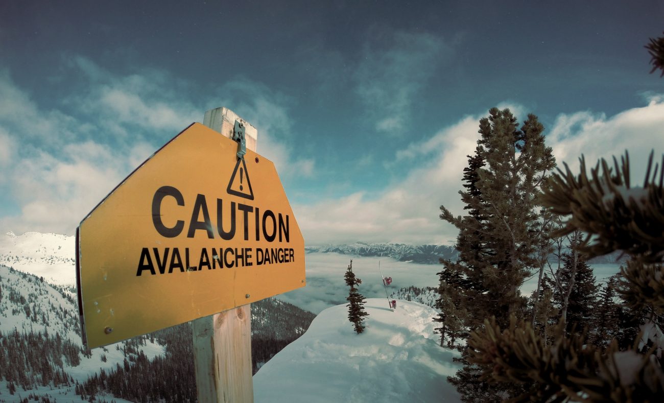
Inspired by the aging stallions who skied the Chiwaukum Birthday Tour and the endless Washington winter, I had to check out the ‘Swath.’ This giant avalanche path so entices me, yet I wonder if she is a spider waiting for her prey. Once again, I need to go and take a closer look at her web.
From the bottom of the swath, we wound our way up old logging roads (climber’s right of the avalanche path) and into the steep forest. We were now tap dancing in the earth mover’s path fully aware of the consequences of being here at the wrong time. Today we hoped would be the right time.
Farther up, we wound our way up very steep trees just looker’s left of the slide path. Even these trees would be deadly on a loaded day. The trees got even steeper so we had to carry skis. The cold  powder high was 4-to-10 inches deep on a hard crust.
I dug several hasty pits with my gloved hands and found the snow pasted, Cascade style, to the underlying crust. From a hasty dig near the summit ridge where the colder, wind-loaded snow usually has a harder time bonding, I found some instability.
I have been on top of this peak before but never been able to ski the fall line from the summit into the heart of the avalanche slopes. Today was another chance and, lucky for me, I had veteran avalanche ski cutter Adam McKenney with me. His three years as pro patroller at Stevens Pass and his years of steep skiing have given him an intimate knowledge of our Cascadian snow pack and how to deal with avalanche potential. I liked the arrangement: He would ski first, I would take pictures.
The slope is loaded but not deeply. He starts skiing and I start pressing the shutter. Adam delicately tests the slopes, bouncing, slicing and just trying to produce an avalanche–nothing besides the cold, champagne powder moves under his skis. A few cautious turns lower, however, he rips out the whole slope. The snow does not slide all the way to the crust. Instead a four-inch layer above the crust flows downward. Adam is solidly planted and he watches the widespread but shallow avalanche run. It’s not a slope for the timid skier.
The white spider lives and breathes just outside of Leavenworth. She is 4,200 feet big and she is beautiful. See video of skiing top of the swath.

Editors’s note: Shane and Adam enjoyed this powder skiing on Swath on April 24.
Details, Details.
- Location. ‘Swath’ is an unofficial name for Peak 6602 on the Chiwaukum ridgeline above the Cascade Meadows church camp. Some skiers in Leavenworth also refer to this avalanche path as ‘The Lawnmower.’
- Skill and Fitness. Advanced skiing skill, fitness, and route-finding skills.
- Access. Drive Highway 2 west of Leavenworth about 20 miles and turn left (south) onto Whitepine Road at milepost 78.4. Drive the dirt road two miles to the Cascade Meadows church camp and park in a very small turnaround at the end of the plowed road. Park so that other vehicles can still turn around.
- Best Months. March and April. The route would be fun with winter snow (January and February) if you’re confident about the snow stability.
- The Ascent. Use our map (see below)–it marks most of what you need to know. After reaching the big avalanche swath, use the logging road (black line) to work up the slopes on climber’s right of the swath. Note: The map does not show the upper zig zags of the logging road accurately–we guessed at how the road runs through here. One of the higher zigs (not shown on the map) comes back to the swath somewhere around 3,900 feet (very rough elevation estimate). This is a good place to cross the avalanche swath, work over to its opposite side, and start climbing the glades and woods flanking the swath on climber’s left. Climb up to the col in the NE ridge. From the col (el: 5,860 feet), skin and then boot up the ridge to the summit.
- The Descent. The wildest, craziest, and potentially deadliest route is to stare the spider in the eye and ski off the top and straight down the web…you better be good at assessing the spider’s hunger should you attempt this line. A safer option is to hop into the north-facing slopes at about the 6,200-foot level and ski glades and smaller chutes for 500 vertical feet before merging with the main swath. Note: There’s still plenty of avalanche hazard here. The safest option (which is still steep enough to slide) is to return to the col and descend the partially forested northwest-facing slopes you ascended to the col. Regardless of your route, the stream draining the north face of Swath becomes more troublesome down low. Around 3,600 feet, make sure you’re on skier’s left (west) of the stream. Given a good snowpack, you can skip the logging road on the bottom of the swath until around 2,700 feet. Then, unless the snowpack is quite plump, it may be easier to follow the road.
- Road. Check the status of the Whitepine Road and how far it’s plowed by calling the Leavenworth Ranger District, 509-548-6977.
- Permits. None needed for winter travel. In summer, bring a Northwest Forest Pass to park at the Whitepine Trailhead.
Map: See map below for more information.
Leave It Better Than You found It. This should be every user’s goal. Pick up trash left by others, pull noxious weeds along your route, disperse old fire rings, throw branches over unwanted spur trails…
Disclaimer. Treat this information as recommendations, not gospel. Conditions change and those contributing these reports are volunteers–they may make mistakes or not know all the issues affecting a route. You are responsible for yourself, your actions, and your safety. If you won’t accept that responsibility, you are prohibited from using our information.

