
GENERAL DESCRIPTION. A traverse starting at Highway 2 east of Stevens Pass, climbing to a pass along the SW shoulder of Arrowhead Mountain, dropping to Whitepine Creek, ascending to a ridge in the Chiwaukum Range, summiting Peak 6,602 (distinguished from the highway by the massive avalanche swath on its NE face), descending the avalanche swath, wading Nason Creek, and returning to Highway 2 near the road to the Merritt Lake Trailhead.
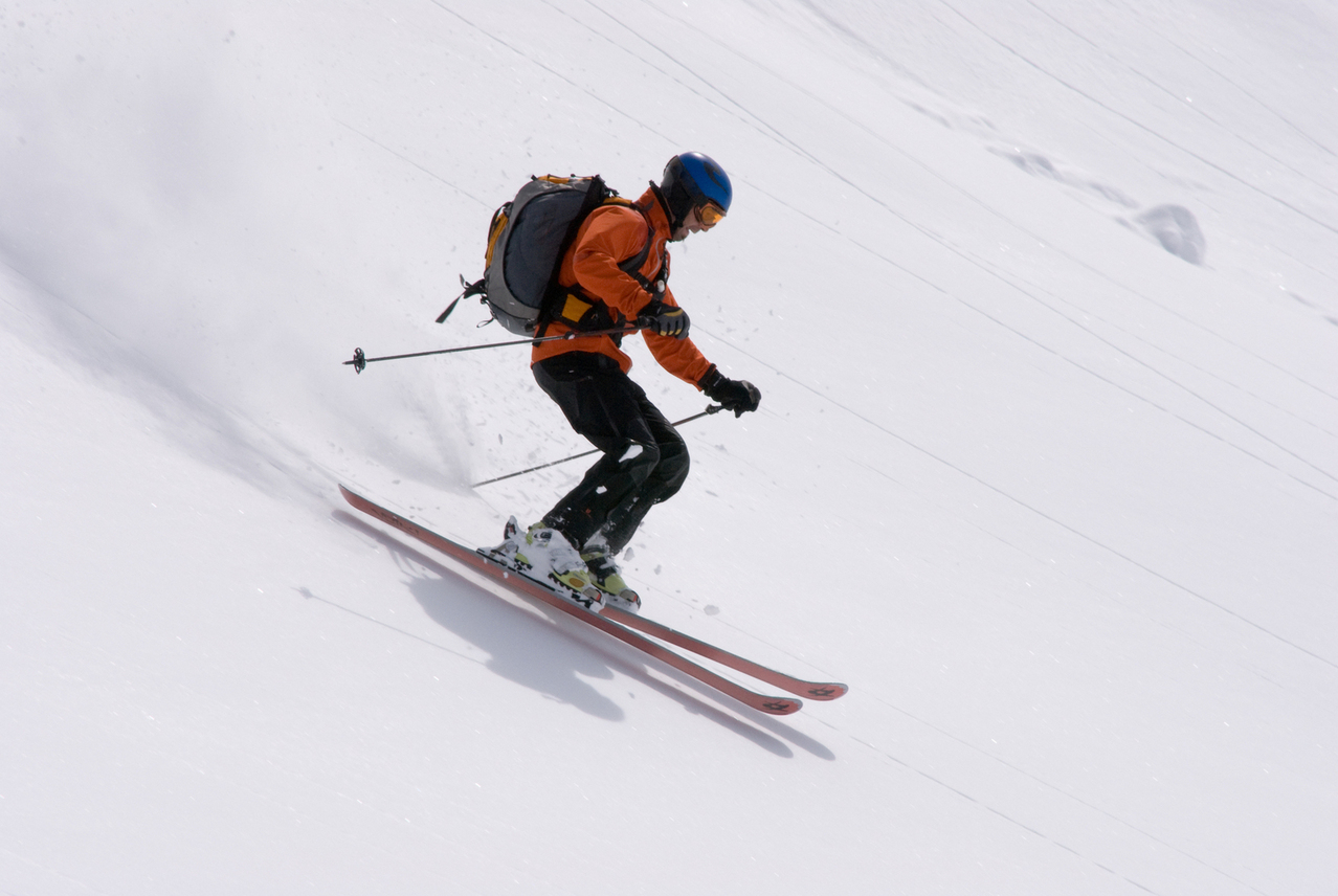
ATTRACTIONS. A challenging trip for the seasoned/expert backcountry skiers that tests you physically (especially if the tour is done in a day), mentally (lots of route-finding and snow- evaluation trials), athletically (40- to 45-degree slopes and thick trees to ski), and spiritually (the tour’s beauty and occasional frights offer you two different doorways to the spiritual plane). Put it all together and this adventurous trip is a full-meal deal.
LENGTH. The walking distance of this tour is difficult to gauge accurately because it’s mainly off trail on steep terrain. Time is perhaps a better benchmark of length and the party submitting this report (a group of three fit and experienced skiers) spent 10.5 hours completing the tour.
ELEVATION. Vertical gain: about 6,600 feet.
SKILL: 4 (expert).
FITNESS: 4 (expert).
ACCESS. Drive Highway 2 east toward Stevens Pass. Leave one vehicle along Highway 2 at the wide spot plowed in the highway at milepost 76.1 by the road branching off to the Merritt Lake Trail. Drive to the highway maintenance area by milepost 71.1 and leave another vehicle here.
TRIP DESCRIPTION:
We have included the rough details of where the tour goes and the topographic map with an overlay of the line followed. If you can’t confidently follow the route from the map, interpret the difficulties, and anticipate the hazards from the map, you don’t have the skills needed to tackle the route. The rough details:
–From the car, walk down the highway (east) and at milepost 71.2 start touring up a road found on the south side of the highway.
–Climb to the SW shoulder of Arrowhead Mountain and cross over at bit northeast of the pass. Elevation 5,400 feet.
–Ski down hill, sticking to the skier’s right of obvious avalanche gullies, and cross Whitepine Creek at an elevation of 3,100 feet.
–Climb into the Chiwaukum Range, cut around the south shoulder of Peak 7,132, and contour over to the summit of Peak 6,602.
–Decide how you want to ski the steep upper portions of the avalanche swath. You can reduce slide hazard some by descending the east ridge of this peak 300 to 400 vertical feet before moving onto the main NE face of the peak. The upper slopes of the descent are 40-to 45-degrees steep.
–Make the long descent (4,300 vertical foot drop) toward Nason Creek, wind around some beaver ponds, wade the creek, and work your way up the final 400-vertical-foot climb to the Highway and the car parked at the Merritt Lake road.
ADDITIONAL INFORMATION. This is a tour you want to save for periods when the snowpack is stable. You’ll use your map, compass, and altimeter a fair bit. You’re also likely to do some wading. The party who reported the tour found a log across Whitepine Creek but waded Nason Creek.
MAPS. See our map below for the general line and carry the Mount Howard and Chiwaukum Mountain maps from the USGS 7.5-minute series.
REPORTER. Notes for this tour supplied by Shane Wilder who skied the route with Matt Collins and Zachary Getsinger in February, 2007.
Leave It Better Than You found It. This should be every user’s goal. Pick up trash left by others, pull noxious weeds along your route, disperse old fire rings, throw branches over unwanted spur trails…
Disclaimer. Treat this information as recommendations, not gospel. Conditions change and those contributing these reports are volunteers–they may make mistakes or not know all the issues affecting a route. You are responsible for yourself, your actions, and your safety. If you won’t accept that responsibility, you are prohibited from using our information.

