by Matthew Tangeman

These are not only some of the closest trails to the Western-themed hub of Winthrop, they are also among the least traveled. Given their proximity to town, you should saddle up the trusty steed (the two-wheeled variety) and get your cowboy on over to them. You’ll probably be the lone ranger out there and you can ride into the sunset on a series of quiet trails and doubletracks.
Maps. See our attached topo map. Note: Use ‘Print Preview’ to orient/scale the map before printing.
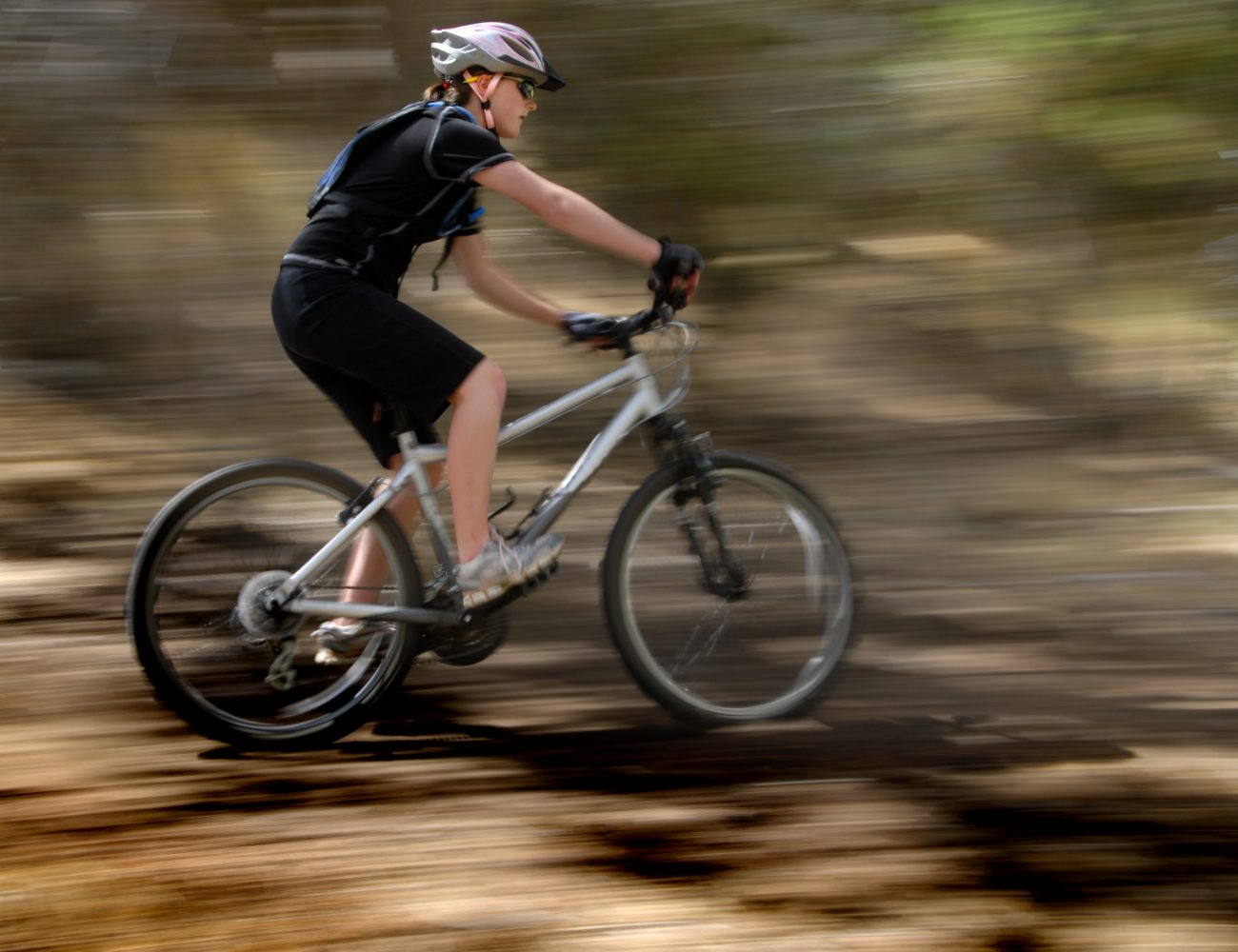
Activity: This trip report was written with mountain biking in mind, but hikers and trail runners can enjoy the same routes.
Nearest Town: Winthrop.
Skill: 2 (intermediate)
Fitness: 2 (intermediate)
Best Seasons. March – November. Note: This is not a good place to be during the heat of a summer day.
Access. From Winthrop, take Highway 20 west out of town, turning right (north) onto West Chewack Road just before the baseball field. Follow this 1.8 miles before turning left onto Rendezvous Road. Proceed on this gravel road for 0.8 miles to a fork in the road. Veer left on Gunn Ranch Road and follow it for 0.8 miles to the Riser Lake Trailhead (on your left). If you drove, park here (Discover Pass needed).
Lewis Butte Out and Back (3 miles round trip, 1,000 vertical feet of gain). A short but stiff trail with excellent views, this narrow, sun-baked piece of singletrack is best done as a dusk or dawn patrol. From the parking area, cross the road and go through the gate. An old four-wheel-drive road branches left, but you’ll want to branch right onto the singletrack trail. Ascend hot, open slopes that have a tendency to get brushy as the summer progresses to reach the summit of Lewis Butte after 1.5 miles (strong climbers can ride most of the route). Soak up the wide open Methow Valley views before taking the same route down.
Homestead Loop (6.7-mile loop, 720 vertical feet of gain). This ride gives a quiet tour of some of the Methow’s scenic backroads and can be done in either direction (it is described below going clockwise). From the parking area, take a left and ride northwest on Gunn Ranch Road. At 0.9 miles from the trailhead, take a right at a fork. Go through a gate 0.3 miles later, and another one shortly after that. The road is now a primitive doubletrack trail. Continue your ascent for another 1.4 miles and come to a junction with Rendezvous Road (2.6 miles from the trailhead). Now it’s time for a fast 3.1 mile descent to the Gunn Ranch Road junction. A hairpin turn to the right and a 0.8-mile climb brings you back to the start.
Allowed. Mountain bikers, hikers and trail runners.
Land Ownership. Methow Wildlife Area, Washington Department of Fish and Wildlife.
Fees/Permits. A Discover Pass is required to park at the Riser Lake Trailhead.
Reporter. Matthew Tangeman, June 2011.
Leave It Better than You Found It. This should be every user’s goal. Do no damage and pick up trash left by others.
Disclaimer. Treat this information as recommendations, not gospel. Conditions change and those contributing these reports are volunteers–they may make mistakes or not know all the issues affecting a route. You are responsible for yourself, your actions, and your safety. If you won’t accept that responsibility, you are prohibited from using our information.
This article was originally posted on 08/21/2015.

