“Stayman Heights”
by Charlie Hickenbottom
If you like hiking in shrub-steppe, don’t mind eschewing the luxury of built trails, and enjoy new scenery, “Stayman Heights” may be to your liking. The name is of my own invention, since the  slopes of this area are above Stayman Road. Land ownership is a mixture of state land (Entiat State Wildlife Area) and federal land (Wenatchee National Forest). No fences hinder or restrict travel, and game trails provide quite a bit of usable tread. Deer abound in this area, not surprising given that the land has state wildlife area designation. A road system serving this same area with access from Navarre Coulee is presumed to be used mostly by hunters. I found a couple of feeding stations which presumably provide grain for upland game birds.
A large roadside pullout along Highway 97A serves as an unofficial trailhead. The location is part way up the highway grade towards the Knapp Tunnel,  east of the 97A / Stayman Road junction. If heading north towards Chelan from Wenatchee, continue past the Navarre Coulee junction (Highway 971) and watch for the pullout on the left as you ascent towards the Knapp Tunnel. It’s a turn to be done with caution. Your left turn will cross high-speed traffic heading downhill.
By late February of this year I found a mostly snow free route that lead to the top of Point 2196’. Behind this and nearby Point 2280’+ were north facing slopes that held lingering snow. With low top hiking boots sans gaiters I trudged on and finished my recon on top of scenic Point 2520’+. From here the terrain northward to Point 2700’, Point 2800’+, and Point 3088’ was mostly snow-covered. I decided to come back on a later date for those summits.
I returned alongside an unnamed creek that had a distinct deer trail on its east side. I didn’t find the best route down the last 600 feet of steep elevation loss to Highway 97A and ended up on some loose talus. I figured with another try that I could find a more pleasant route down the steep slopes.
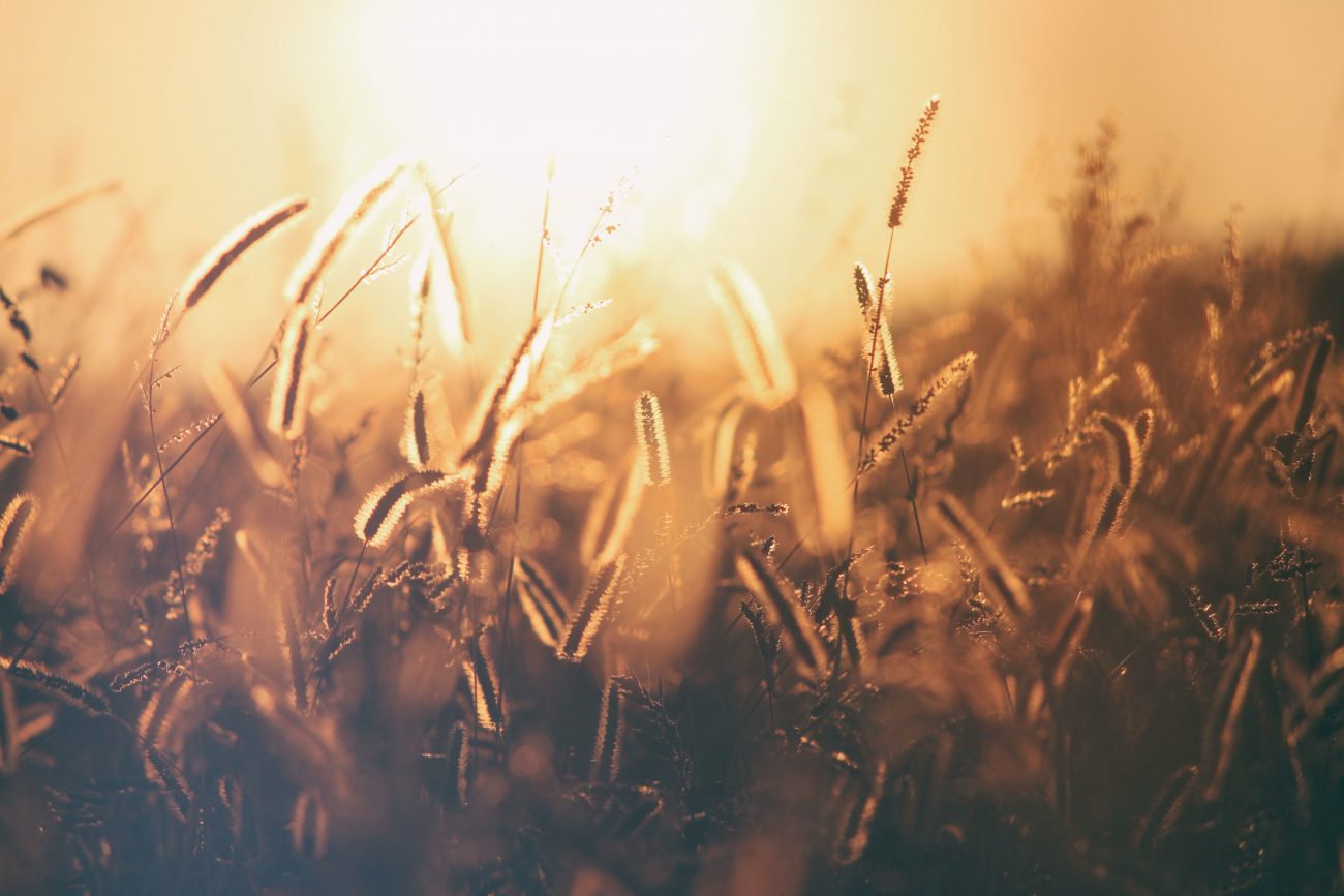
I returned in early April to find the entire area snow free and lots of prairie star flowers blooming. Wanting to explore a different route, I ascended the ridge line to the west of the unnamed creek that drains south to the Columbia River. I followed this ridge nearly to the top of Point 2800’+, gave up a little elevation to traverse slopes under this summit, and headed for Point 3088’, the highest summit in this area that is conveniently approached from Highway 97A. Views are sweeping both southwest and southeast to the Columbia River and beyond to the Columbia Plateau. Beyond Navarre Coulee were Baldy Mountain and Stormy Mountain. The t-shirt temperature and clear skies made the day particularly rewarding.
To toss in a couple of other nearby summits, I looped by traversing over the tops of Point 2800’+ (nice view of Lake Chelan) and Point 2700’. An easy descent placed me on the east slope of the unnamed creek following the same deer trail as I had done in February. When the slopes steepened for the final drop to Highway 971, I searched around a bit. A deer trail crossed the creek to its west side, followed the creek down through a narrow gulch,  then headed west to traverse the slope under a prominent cliff face that is visible from Highway 97A. By falling this descent route, I was able to avoid nearly all of the unpleasant talus that had plagued my descent earlier in the season.
Some of the slopes are pretty steep for travel without formal trails. I recommend adjustable length trekking poles. Consider sturdy hiking boots, although I managed both trips with light-weight low-top hiking boots. USGS 7.5 minute Winesap is a good map for old-school navigation. Allow 4-6 hours for the full-meal package of hiking up to the higher summits in the area.