
Annette Shimy on summit
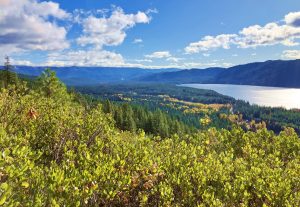
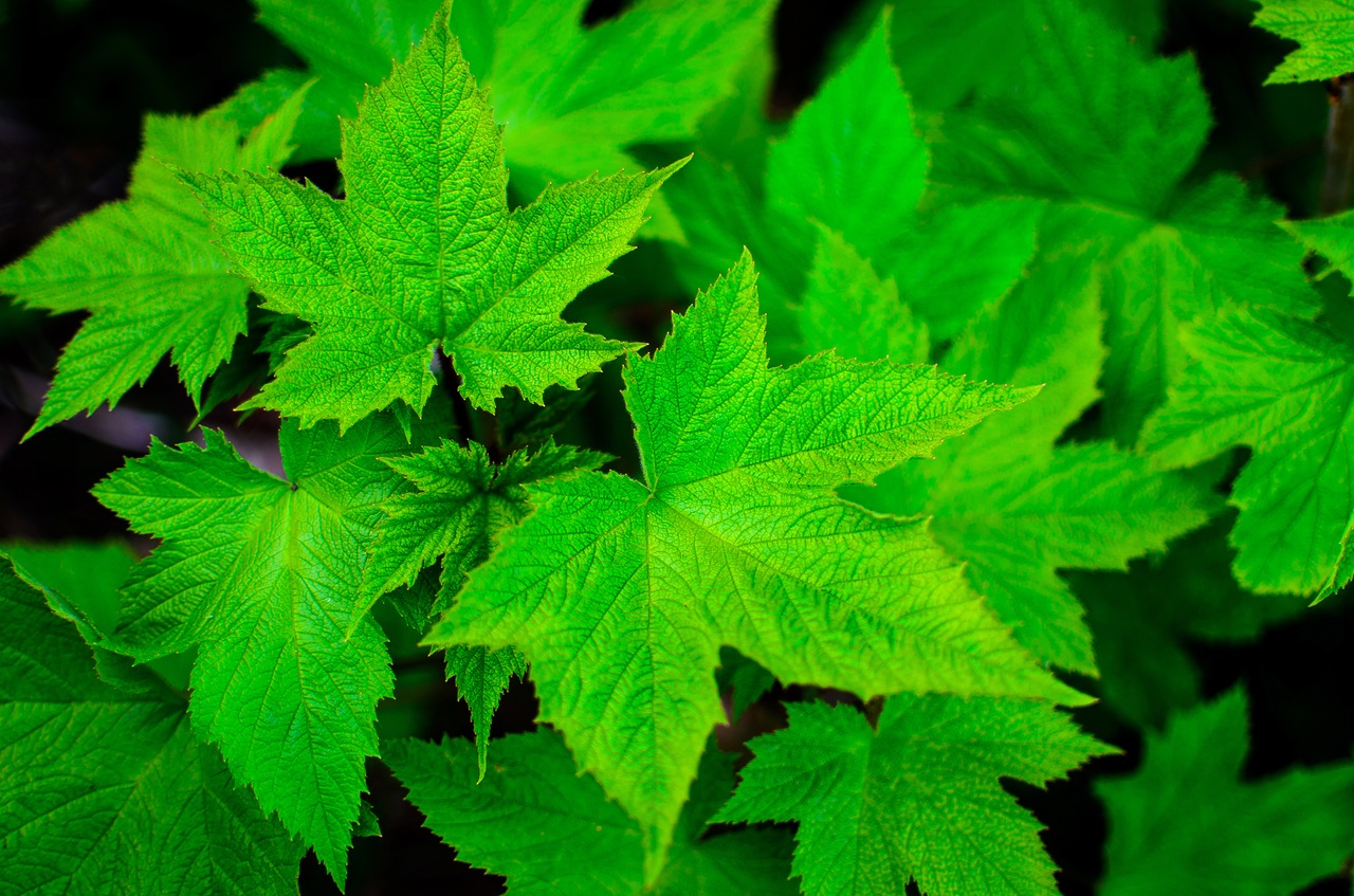
This hike provides varying terrain and wildflowers to distract the hiker from 96 switchbacks and over 4,000 feet of elevation. The reward: spectacular views of Lake Wenatchee, the White and Little Wenatchee rivers, the North Cascades, and Glacier Peak.
Maps: View our topo map below for more information.
Note: use ‘Print Preview’ to properly scale this map to a full sheet of paper.
Allowed: Hiking and non-motorized use. Not-Allowed: Motorized use prohibited
Nearest Town: Leavenworth
Skill Level: 2 (intermediate)
Fitness Level: 2+ (advanced intermediate) to 3 (advanced).
Distance: 9 miles roundtrip
Elevation: 4,300 ft elevation gain
Access. Driving west, follow Highway 2 to Coles Corner (19 miles east of Stevens Pass).Turn right onto Highway 207 and drive to the Lake Wenatchee Ranger Station (8.5 miles). Find the trailhead on the right.
Trip Instructions.
- Follow the trail for 1.5 miles to an intersection with an old logging road. Turn left on this road and continue along it for 0.5 mile
- At and elevation of 3700 feet, the road meets the trail again
- Reach the site of the old lookout (elev. 6,193 ft)
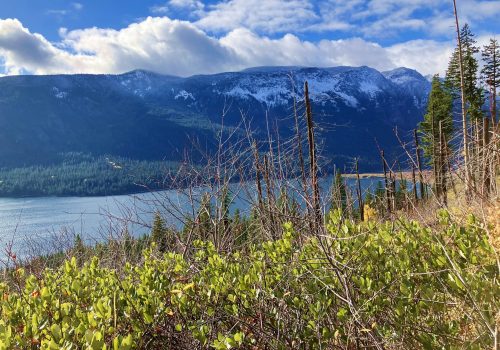
Views of Lake Wenatchee from the trail. Photo by Sarah Shaffer. - The true summit of Dirtyface Peak involves a cross-country hike with rock scrambling. This portion is not recommended for casual hikers.
Other. In summer mosquitoes can be bad along this trail–be sure to bring bug repellent. Also, the trail is quite dry in summer, carry plenty of water.
Additional Information: Use this link for information on the old Dirty Face Lookout site. Information on the trails is also available from the Lake Wenatchee Ranger Station (763-3103) or the Wenatchee River Ranger Station in Leavenworth (548-2550).
Permits. A Northwest Forest Pass is needed to park at the trailhead.
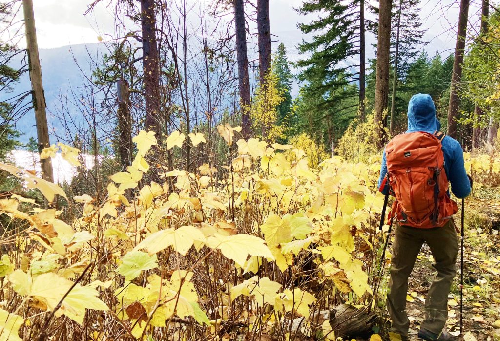
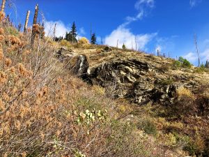
Condition Update: As of 11/05/2024 the trail had slick snow at about 2,300 feet of elevation gain as reported by Sarah Shaffer.
Leave It Better Than You Found It. This should be every outdoor user’s goal. Pick up trash left by others, pull some noxious weeds along your route, throw branches over unwanted spur trails, don’t ride or walk wet trails when you’re leaving ruts/footprints deeper than ¼ inch…
Disclaimer. Treat this information as recommendations, not gospel. Conditions change, and those contributing these reports are volunteers–they may make mistakes or may not know all the issues affecting a route. You are still completely responsible for your decisions, your actions, and your safety. If you can’t live with that, you are prohibited from using our information.

