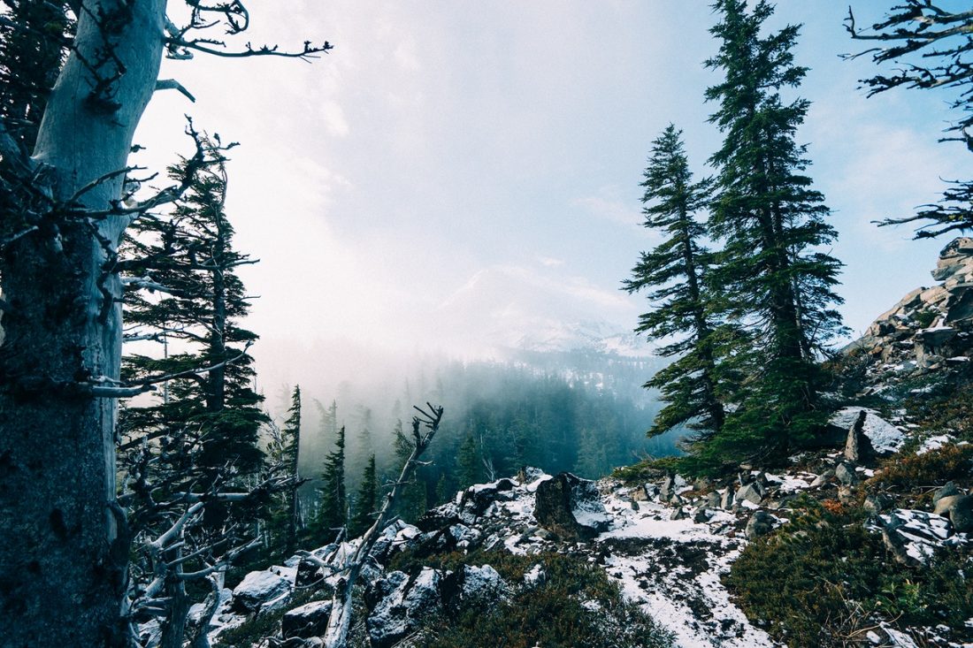
Summit Post details this trail nicely and includes photographs. Click here to view the post. Adapted from Summitpost.org: Nearest Town: Lake Chelan/Entiat Uses: Mountaineering/Scrambling Skill: 2 Fitness: 2 Gear. No technical equipment is needed for this scramble but an Ice axe... Read More...