
Lake Creek Campground to National Forest Boundary (Canyon Section)
Attractions: If you’re tired of bumping plastic in the eddies on the Wenatchee, the Entiat is the exact opposite and about an 1 hr 45min drive from the Wenatchee. I lived in the Entiat Valley for the summers of 2001-2003 and the only things I saw on the river were ducks and beavers. The lack of people could have been due to the low water year, but I kind of don’t think so.
Skill: 4 (expert).
Fitness: 3 (advanced)
Distance: 3 miles
Difficulty: IV plus
Average Gradient: 137 fpm
Gauge Information:
Min Sug. Level: 800 cfs
Max Sug. Level: 2000 cfs
Maps: See map below for more information.
Access:
- From Highway 2 just before you enter Wenatchee take the Chelan, Highway 97 exit. There are signs indicating the direction to Entiat. You want to be on alternate route 97. This highway parallels the Columbia river on the west side of the river so don’t cross the Columbia river. It will save about an hour driving time if you are on the right side of the Columbia for the only two bridges that cross are in Wenatchee and Chelan which is another 30 miles past Entiat.
- Drive 20 miles from Wenatchee on Alternate 97 to Entiat River Road.
- Take a left up the Entiat River Road and drive 27 miles to the take out. The last major rapid is just off the road, so if you see that rapid the take out is just below. Drive a short ways to the put in just above Lake Creek Campground.
The Put-In:
- The put in is just above the Lake Creek campground. There is a turnout and bathroom conveniently located just above the trail to the put in.
- Walk approximately fifty yards down the trail to a bridge that crosses the river. You will find two nice eddies on either side of the river; this is a nice place to warm up.
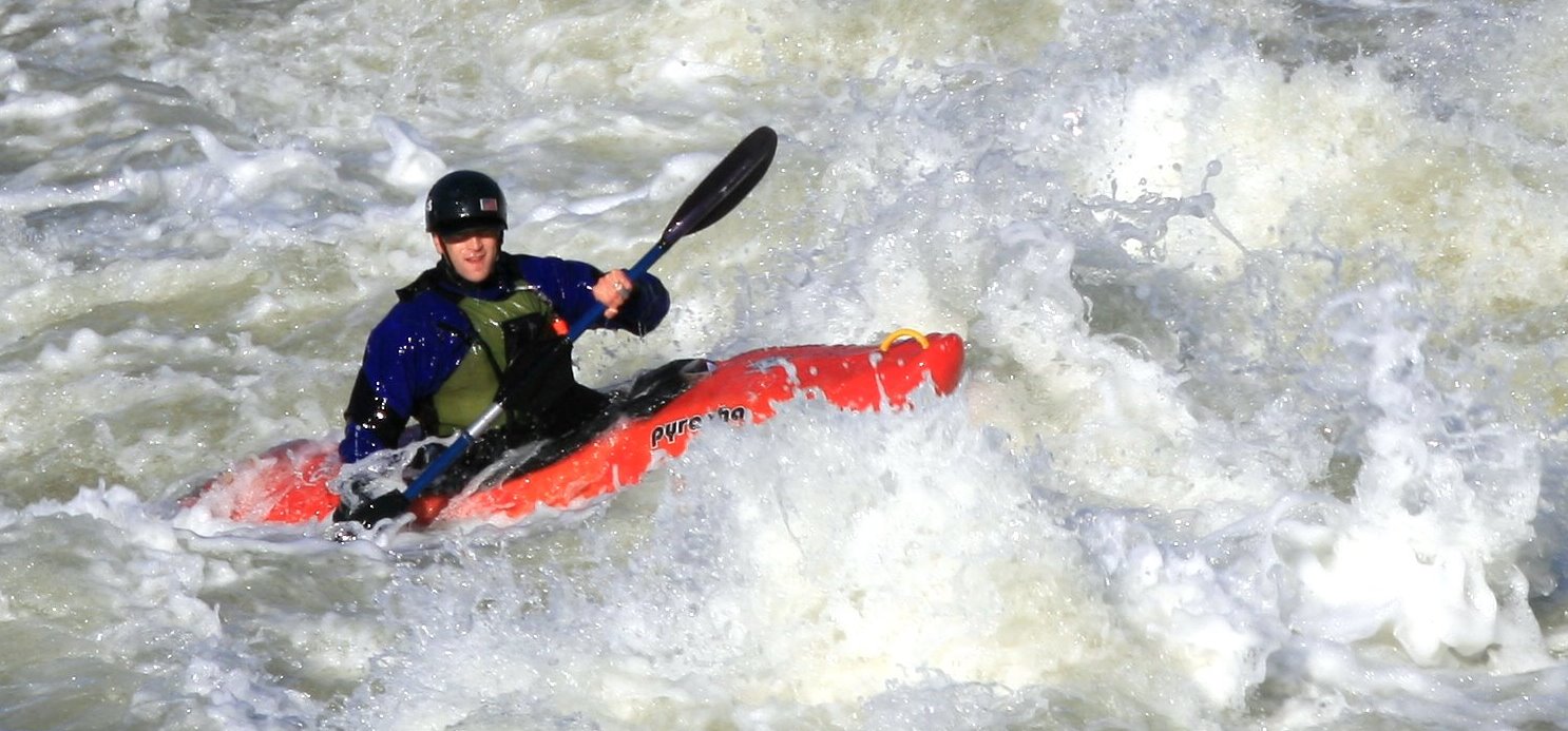
Trip Description: From the get go the river is busy. There are lots of two to four-foot boofs that are scattered throughout this top section of the river. You will gradually work your way into the canyon. I found plenty of eddies to get out and scout, but this may change at higher water.
I was on this river when the gauge at Ardenvoir was between 800cfs to 1800cfs. 800 cfs was fun but a little scratchy. At 1800 CFS this river is fast and furious. Be careful and ALWAYS boat with a buddy.
Other Information: There are three other sections of the Entiat River as well as this one described in Jeff Bennet’s A Guide to the Whitewater rivers of Washington.
The source of the information included in this entry is the American Whitewater website. River conditions are subject to change, especially after storms or floods. For more the most up-to-date and detailed information or to view photos and user comments, check this river’s information at American Whitewater.
*If you have a detailed account of running this section of river, please submit it to the editor at WenatcheeOutdoors.org
Leave It Better Than You Found It: This should be every outdoor user’s goal. Pick up trash left by others, pull some noxious weeds along your route, throw branches over unwanted spur trails, don’t ride or walk wet trails when you’re leaving ruts/footprints deeper than ¼ inch…
Disclaimer. Treat this information as recommendations, not gospel. Conditions change and those contributing these reports are volunteers–they may make mistakes or not know all the issues affecting a route. You are responsible for yourself, your actions, and your safety. If you won’t accept that responsibility, you are prohibited from using our information.

