
Attractions: This route with its mixture of paved, gravel, and dirt roads is best done on either a mountain bike, or better yet, a cross bike. The loop exposes you to the region’s extremes– rivers and deserts, industry and agriculture, paved urban trails and dirt county roads. The climb up the dirt road of the Rock Island Grade is a grunt (you’ll appreciate a triple chain ring) while the paved descent of Badger Mountain Road is a screamer. The ride showcases our regional economy as you look down on the Columbia River at the Rock Island Dam (electricity) and Alcoa’s aluminum plant (industry). When the ride reaches the Waterville Plateau high above the river, you cut through big, sprawling wheat fields (agriculture). The views are equally varied as you look over rivers, sage brush, lava flows, tilled fields, and the high Cascades. What kind of place is this, you’ll ask yourself, that has Kansas, Lebanon, and the Alps all scrambled together?

Activity: Mountain biking and cyclo-cross biking.
Skill: 2 (intermediate)
Fitness: 3 minus to 3 (advanced)
Distance: 55.5 miles.
Elevation Gain: Over 3,000 feet of total gain.
Maps. See our map below for more information.
Access: Start this ride from the east end of the Pedestrian Bridge of the Loop Trail in East Wenatchee (southeast end of the Loop Trail). If you’re driving, use any of the access points for the Loop Trail as a starting point (see our guidebook entry for the Loop Trail) and ride the Loop to the east end of the Pedestrian Bridge.

Trip Instructions:
- Zero out the odometer and at the southeast end of the Loop (east end of the Pedestrian Bridge). From here, follow the Hydro Park Extension to the Loop 2.25 miles to Hydro Park.
- At Hydro Park get on the Highway 28 and ride the shoulder (fairly wide) 8 to 9 miles to Milepost 10.5. Here, turn left onto the Rock Island Grade. There is a turn pocket for this road.
- Ride 3.5 steep miles up the Rock Island Grade.
- After these steep miles of climbing, you’ll reach the undulating agricultural lands of the Waterville Plateau. Stay on the main gravel road (called Sheehan Road now but mainly unmarked) as it heads north. You’ll pass several roads branching right but keep going straight.
- About 13.2 miles after reaching the crest of the Waterville Plateau (16.5 miles from Highway 28) reach a large Y in the road. Take the left spur onto Indian Camp Road (unmarked). The right branch (also not marked) is Titchenal Canyon Road which heads to Waterville.
- Follow Indian Camp Road for 6 miles as it drops down into several creek canyons, climbs back out, and traverses to Badger Mountain Road. Several spurs splt off this road so pay attention to the map and remain on the largest/best used road.
- At Badger Mountain Road, which is paved, turn left and follow this 5.8 miles to the top of the canyon rim overlooking the Columbia River and East Wenatchee.
- From the canyon rim, drop 7 winding miles downhill to the intersection where Badger Mountain Road merges with Eastmont Avenue.
- Follow Eastmont about a half mile and turn right onto 19th St. Follow 19th downhill 1.1 miles downhill toward the river. Access the Loop Trail at the bottom of 19th Street by turning left into the Douglas County Services Building and finding the trail off this facility’s parking lot.
- Ride about 1.5 miles back to the east end of the Pedestrian Bridge where the ride started.
- Note: For a shorter ride starting and ending on the Rock Island Grade, see the entry for the Rock Island Grade in the mountain-biking guidebook.
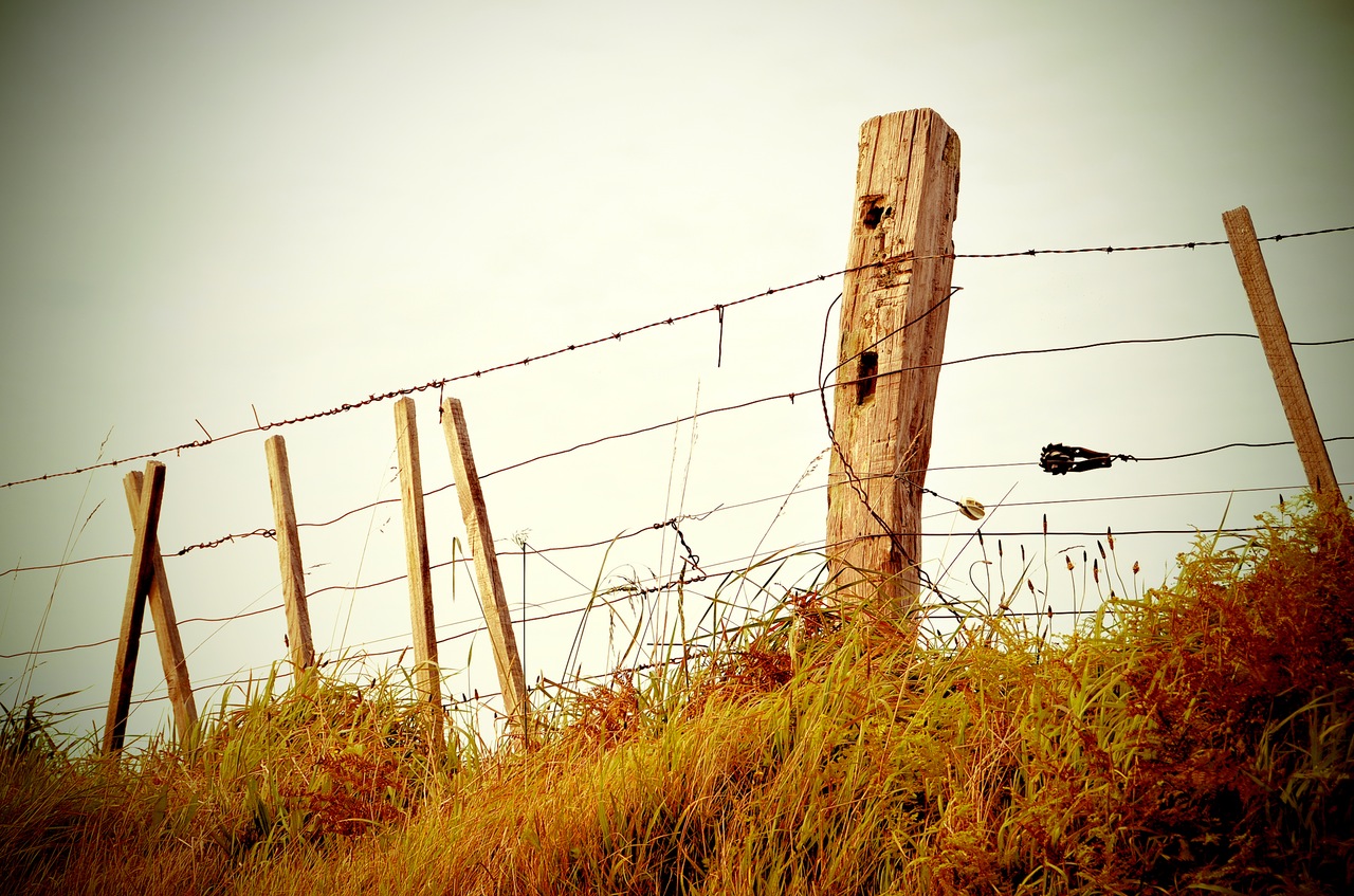
Hazards: This is exposed country and can be hot and dry in summer (bring plenty of water) and cool and breezy in the shoulder season (bring wind protection).
Ownership: County roads
Maps: USGS 7.5-minute Series: 1)Rock Island Dam 2)Malaga NE 3)Douglas 4) Orondo
Trip Reporter: Initial report by Andy Dappen 9/9/2007. Minor updates 8/05/2010
Leave It Better than You Found It. This should be every user’s goal. Pick up trash left by others, pull noxious weeds along your route, etc.
Disclaimer. Treat this information as recommendations, not gospel. Conditions change and those contributing these reports are volunteers–they may make mistakes or not know all the issues affecting a route. You are responsible for yourself, your actions, and your safety. If you won’t accept that responsibility, you are prohibited from using our information.

