Everybody Out(doors) Day What kind of nonsense is this… use National Outdoors Day (June 13) to go indoors so you can learn about the outdoors? The irony of this scheme is not lost on those of us who proselytize about...Read More...
by Andy Dappen In hot weather the three elements for beating the heat in the outdoors are shade, water, and elevation. Cooney Lake gives you all three. A shady, forested trail up Foggy Dew Creek helps control the heat on...Read More...
Mt. Stuart from near the summit of Hawkin’s Thimble. Words and photos by Roger Gervin. You can view additional photos, beta, and a GPS track on his website Starting from the north end of the DeRoux Campground (~3800′), we used...Read More...
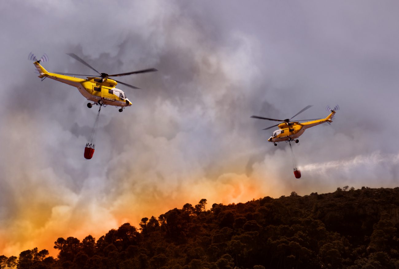
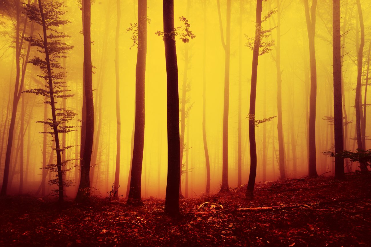
Wolverine Fire – A Ringside Seat by Brad Brisbine Jill & I came extremely close to pulling the plug Saturday on our Stehekin vacation. When we came over Navarre Coulee pass, we couldn’t even see the lake, the smoke was...Read More...
Mirror Mountain (7738′), Tumble Mountain (7942′) Story and photos by Jim Brisbine For our annual mid-summer climbing trip this year several friends and I departed somewhat from our pattern of western Cascade and Olympic destinations. We headed into the northern...Read More...
The Yakima Skyline 50K by Laura Valaas “What’s your name?” Water. “What’s your name?” Gu. “What’s your name?” Coke. At this point, I realized two things — they were asking what my name was, and I hadn’t been responding out...Read More...
“Stayman Heights” by Charlie Hickenbottom If you like hiking in shrub-steppe, don’t mind eschewing the luxury of built trails, and enjoy new scenery, “Stayman Heights” may be to your liking. The name is of my own invention, since the...Read More...
Tiffany Highlands – Epic or Stupid Adventurey? Words and photos by Matthew Tangeman. A fine line separates an epic adventure from sheer stupidity. I stumbled upon this truth recently when, with a head full of dreams and an attitude full...Read More...
K2 Waybacks – The One Ski? by Andy Dappen It’s a question I ask many skiers. If you had to stick to just one ski for all conditions, all seasons, and all uses (downhill and backcountry), what would platform look...Read More...
If you’ve only got a couple hours of free time but still want to enjoy a fun mountain-bike ride, this loop is highly recommended. The loop is roughly 7 miles around and climbs just under 2,000 vertical feet. The ride...Read More...